

Insular platform
Submerged and relatively flat surface surrounding an island, formed by lava flows that reached the sea and by later marine sediments.
Most of each Canarian edifice remains beneath the sea: platforms, submarine slopes, seamounts and lava flows that only bathymetry and geophysics reveal.
When we look at an island from the coast, we see only the emerged part of a much larger volcanic edifice. In the Canaries, the submerged portion may represent more than ninety per cent of the total volume, according to estimates based on continental-margin bathymetry. This hidden part begins at the insular platform, a relatively flat surface surrounding the island that was built by lava flows reaching the sea and by later marine sediments. Beyond the platform, the slope or submarine flank descends more steeply to the foot of the edifice, where it merges with ocean-floor sediments and with the deposits left by large-volume landslides. The base of the edifice rests, in turn, on Jurassic oceanic crust that acts as basement for the whole archipelago. Modern bathymetry, obtained with multibeam and other echosounder systems, has transformed our ability to read this submerged geology. Topobathymetric maps allow us to follow the continuity of rifts, barrancos and volcanic structures beneath the water, and reveal that insular morphology does not end at the coastline. At the same time, reflection seismic and acoustic tomography show sediment layers, avalanche deposits and the internal geometry of the edifice, while sampling campaigns with dredges and cores recover rocks that date and characterise ancient processes. Without these tools, the history of construction and collapse of each island would remain incomplete. The Canary Island Seamount Province is one of the most striking elements of this submerged landscape. It extends east and west of the archipelago with edifices that, in some cases, predate the visible islands in age. These seamounts are not simply extinct volcanoes: they preserve records of earlier activity, differential subsidence and interaction with plate dynamics. Their study is fundamental for distinguishing between the hotspot model and other hypotheses about the origin of the archipelago, because they demonstrate that the Canarian volcanic history began long before the emergence of the present islands.[1][2][3][4]
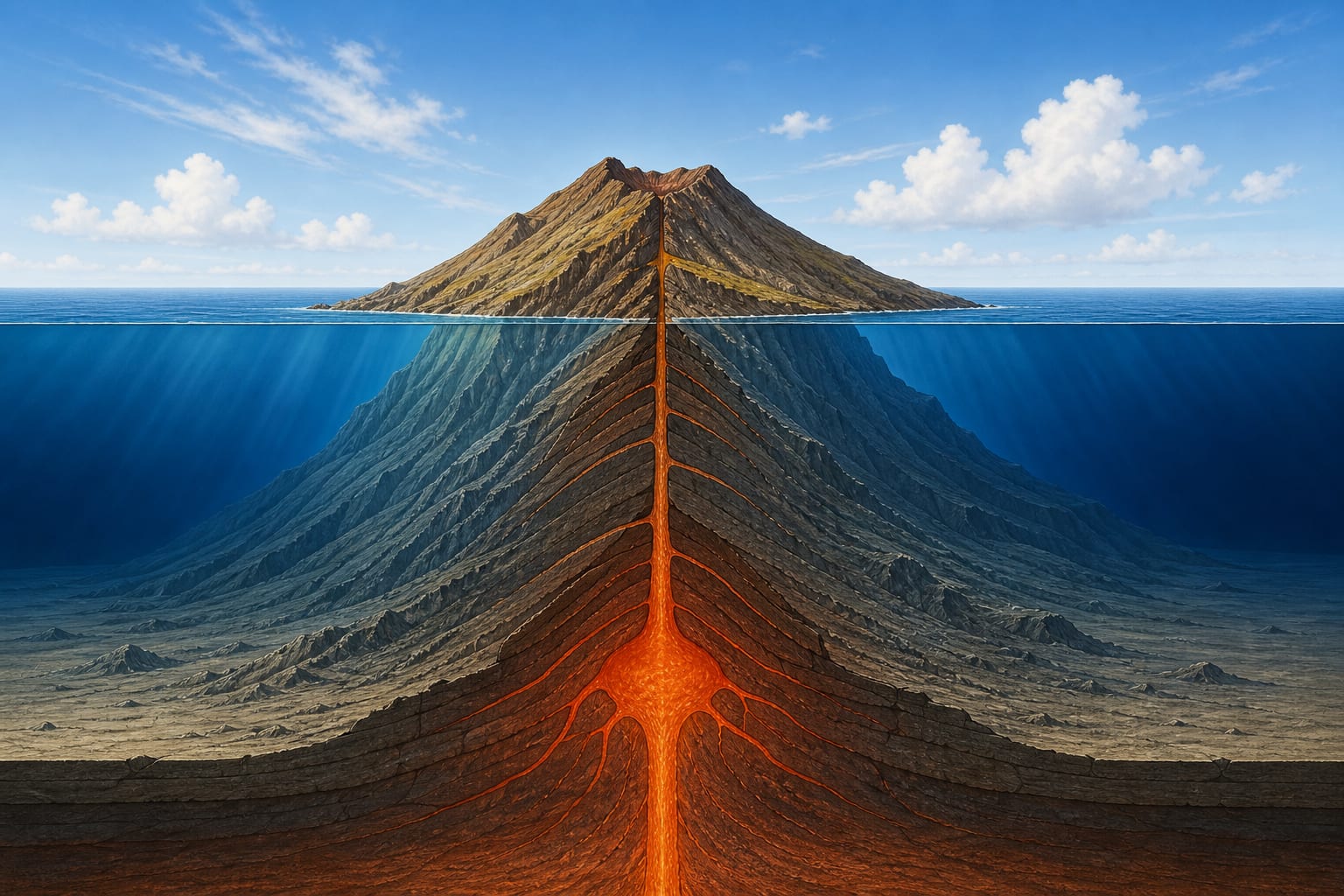
The coastline is not the limit of the volcanic edifice, but merely the present balance level between emerged and submerged relief. In the Canaries, the volume stored beneath the sea far exceeds what is visible at the surface, because each island was first built as a seamount and only later reached the ocean surface. This proportion makes submarine geology inseparable from any reconstruction of the origin of the archipelago.[1][2]
The morphological continuity between the emerged island and its submarine base can be seen in topobathymetric maps, where the rift structures of La Palma, El Hierro or Tenerife extend their arms beneath the water. This continuity shows that constructive and erosive processes operate at the scale of the whole edifice, not only of the portion protruding above the sea.[1][2]
The insular platform is the first submerged level surrounding an island. It forms when basaltic lava flows reach the sea, build lava deltas and are cemented by marine sediments, producing a shallow and relatively flat surface. Its width varies between islands according to age, eruption type and later marine erosion.[1][2]
Beyond the platform, the submarine slope descends to the foot of the edifice with gradients that can exceed fifteen degrees in young sectors and become gentler where erosion and landslides have remodelled the relief. At the base, avalanche and flank-collapse deposits mix with pelagic sediments, forming a stratigraphic record of past edifice instability.[1][2]
Mapping of the Canarian seafloor is based on high-resolution bathymetric surveys carried out by the Spanish Institute of Oceanography and other agencies. The IEO-CSIC topobathymetric map joins terrestrial and submarine relief in a single chart, making it possible to identify platforms, slopes, channels and landslide deposits at the scale of the archipelago.[1]
Besides bathymetry, the IDECanarias geological viewers and the IGME-CSIC MAGNA sheets allow the emerged geological units to be compared with seafloor structures. This cartographic integration is essential for correctly interpreting the submarine continuation of rifts, dykes and barranco systems.[1][2]
Reflection seismic sends acoustic waves towards the seabed and records the echoes to reconstruct the internal structure of sediments and the volcanic edifice. In Canarian waters, this technique has revealed sediment layers, avalanche deposits and the geometry of the edifice base, complementing the picture provided by surface bathymetry.[1][2]
Sampling with dredges and cores recovers rocks from the seafloor that allow events to be dated and the composition of ancient lava flows to be determined. When these cores include pillow lavas or hyaloclastite breccias, geologists can infer the water depth at the time of eruption and reconstruct the growth rate of the edifice.[1][2]
The Canary Island Seamount Province is made up of volcanic edifices that did not reach emergence or that emerged partially and were later re-covered by the sea. These seamounts are distributed east and west of the archipelago, some with ages exceeding twenty million years and predating several of the present islands.[1]
The existence of seamounts older than the emerged islands raises questions about the origin of Canarian volcanism. If activity began beneath the sea long before the African plate carried the hotspot to its present position, the simple hotspot model must be combined with other processes such as edge convection or the re-use of inherited fractures.[1][2]
The Canarian submarine slope is furrowed by sediment channels and by scars from large flank landslides. These structures are evidence that gravitational instability has removed whole sectors of island edifices throughout their history, leaving amphitheatres open towards the sea and debris deposits far from the coast.[1][2]
Interpretation of these landslides must be cautious. Although bathymetry clearly shows the scars and deposits, the precise dating of each event and its possible link to past tsunamis remain open research lines. Not all submarine landslides generate large tsunamis, and not all erosive episodes leave the same morphological record.[1]
Submerged and relatively flat surface surrounding an island, formed by lava flows that reached the sea and by later marine sediments.
Transition zone between the insular platform and the foot of the edifice, with variable gradients that record erosive and instability processes.
Measurement of seafloor depth, allowing submarine relief to be represented with the same precision as a land topographic map.
Volcanic edifice that did not emerge or that was re-covered by the sea, preserving a record of activity predating the present islands.
Basaltic lava that cools rapidly on contact with water, forming rounded masses that indicate eruptions at depth.
Magma rises through fractured pathways and reaches the seafloor, where it cools to form pillow lavas and hyaloclastite breccias.
Flows reaching shallow areas fragment and mix with marine sediments, widening the insular platform.
Beyond the platform, the accumulated materials form a slope that descends towards the foot of the edifice, shaped by erosion and landslides.
Multibeam echosounder surveys generate digital models of the seafloor that reveal the continuity of insular structures beneath the water.
Dredges and cores recover rocks that, once dated, make it possible to establish the chronology of submarine growth and collapse episodes.
Between July 2011 and March 2012, a seismic crisis, ground deformation and discoloured water patches south of El Hierro marked the first historically documented submarine eruption in the Canaries. Later studies located the eruptive cone a few kilometres off the coast at variable depth, initially close to three hundred metres, and described the emission of pillow lavas and hyaloclastite material.[1]
The episode showed that volcanic monitoring must extend beyond the coastline. Seismicity, ground deformation and geochemical changes in the water were the main clues, but the exact location of the eruptive focus beneath the sea required high-precision seismic and satellite-image analysis.[1][2]
Although the eruption did not generate a direct threat to the population, it highlighted the need for monitoring and communication protocols adapted to submarine events. The cone, now inactive, remains a natural laboratory for studying how the Canary Islands began their growth underwater.[1][2]
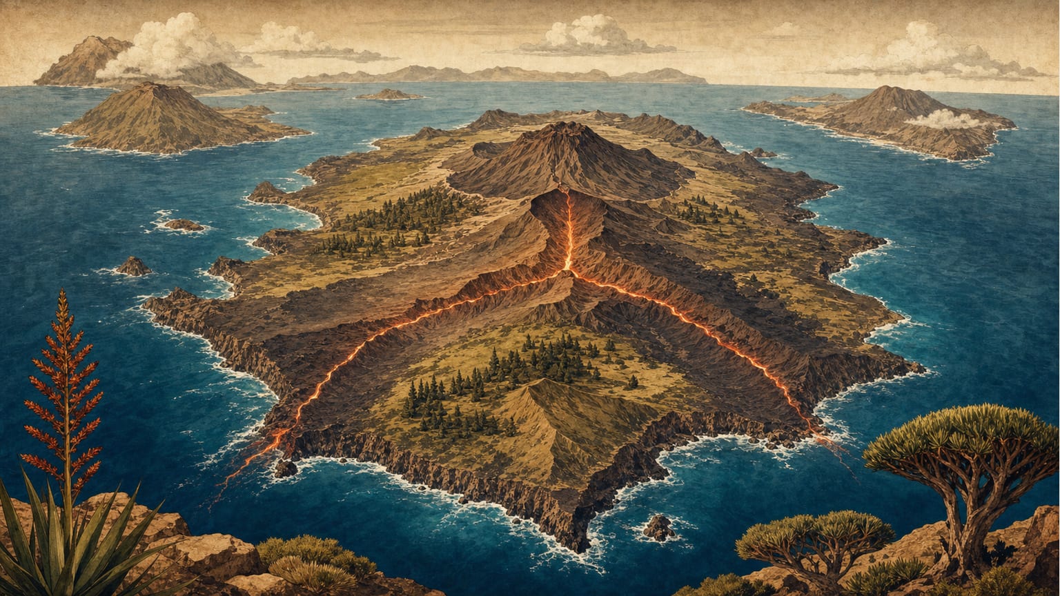
Triple rifts, star-shaped geological structures, control the growth and volcanic activity of the Canary Islands and explain many of their natural hazards.
Read more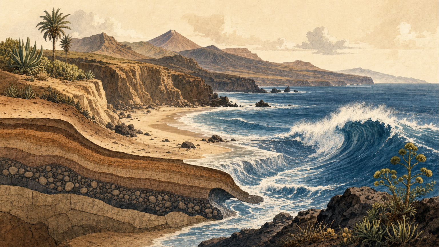
The sea is the main force shaping the Canary Islands' coasts, responsible for both erosion and the creation of beaches and cliffs. Discover how waves and currents have sculpted the archipelago's unique shorelines.
Read moreInstitutional tools for consulting maps, monitoring and planning.
Reference mapping by sheets from IGME-CSIC.
Island relief and seabed in a single IEO-CSIC map.
Geological and morphological mapping of the continental margin by IGME-CSIC.
van den Bogaard (2013) paper with ages of old seamounts and the origin debate.