How the Sea Shapes the Canary Islands: Erosion, Cliffs, and Beaches
The Canary Islands, located in the Atlantic Ocean off the African coast, owe much of their coastal landscape to the relentless action of the sea. Over millions of years, waves and currents have sculpted the islands’ shores, creating dramatic cliffs, unique beaches, and ever-changing coastlines[1].
The Sea as an Erosive Force
The continuous pounding of waves erodes the coastline, gradually removing material and reducing the islands’ surface area. These eroded materials are carried away by marine currents, often disappearing into the depths of the ocean. The extent of this process varies by island, with Tenerife and Fuerteventura having the longest coastlines[1].
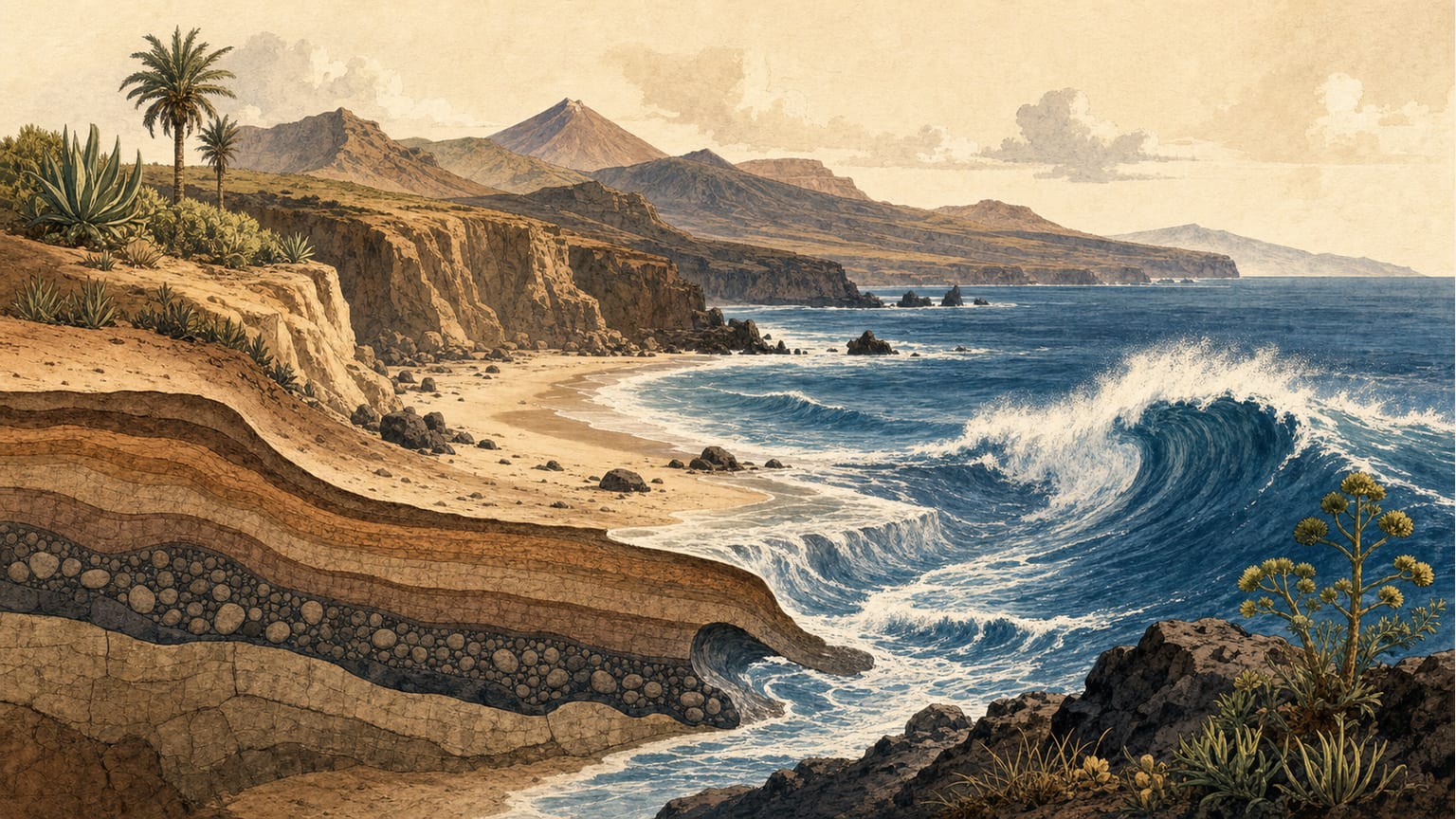
Differential Erosion and Cliff Formation
Not all rocks are equally resistant to erosion. Where the coastline is made of hard rock, such as at Los Gigantes (Tenerife) or Famara (Lanzarote), the retreat is slow and spectacular cliffs are formed. In contrast, softer materials are worn away much faster. This process, known as differential erosion, explains the presence of isolated sea stacks and islets—remnants of ancient volcanoes whose cones have disappeared, leaving only the tougher volcanic chimneys[1].
Waves carve caves at the base of cliffs, eventually causing large blocks to collapse and the coastline to retreat, resulting in vertical walls. Landslide debris sometimes temporarily protects the coast or even extends it into the sea, but this is usually short-lived against the ocean’s power.
The Creation of Beaches and Dunes
The sea is not only destructive—it also creates. Beaches form from the breakdown and transport of rocks, with their composition and location influenced by the type of coastal material, current direction, and additional sediment sources. The white sands of Fuerteventura and southern beaches on other islands are largely made up of organic remains and shell fragments carried by wind and sea. Volcanic activity and human intervention can also play a role: new lava flows may halt erosion and allow protected beaches to form, as seen at Las Canteras in Gran Canaria[1].
Mobile dunes, like those at Maspalomas (Gran Canaria) and Corralejo (Fuerteventura), are created by the ongoing supply of sand and the action of the wind, which moves these sediments inland, reshaping the landscape and sometimes burying human structures.
Gaining Ground from the Sea
Despite the sea’s constant assault, the islands have also gained land. Lava flows reaching the ocean create new coastal platforms, which are later used for agriculture, settlements, and even cities. Notable examples include Puerto de la Cruz (Tenerife) and new farmlands in La Palma following recent eruptions.
In summary, the relationship between the sea and the Canary Islands’ coasts is a continuous struggle between erosion and creation, resulting in some of the most distinctive shorelines in the world[1].