

Recharge
Water that enters an aquifer from the surface, mainly through rainfall and infiltration in permeable terrain.
How water circulates in volcanic terrains, which aquifers feed the islands and what geothermal potential lies in their depths.
Water is one of the scarcest and most decisive resources of the Canarian archipelago. Unlike continental islands, the Canaries have no permanent mountain rivers or large sedimentary basins; their hydrogeology depends on the ability of volcanic rocks to store and conduct rainwater from the surface to underground aquifers. This ability depends on porosity, the number and size of pores, and permeability, the ease with which water can move through them. Basaltic lavas with fractures, scoria debris and pyroclastic deposits create spaces where water can infiltrate, but there are also compact or clayey layers that slow it down and force it to flow laterally. Each island forms its own hydrogeological system, defined by its geology, relief, climate and recharge distribution. On the wetter, higher islands such as Tenerife, La Palma or La Gomera, rainfall and runoff feed deep aquifers that can be exploited by horizontal galleries, wells or boreholes. On the drier eastern islands such as Fuerteventura and Lanzarote, recharge is scarce and exploitation must compete with evaporation, marine intrusion and overexploitation. The Canarian hydrological plans capture these differences and propose sustainable management based on actual recharge rather than desired demand. Geothermal energy adds an energy dimension to hydrogeology. In active volcanic terrains, residual heat from magmatism can raise the temperature of groundwater and rocks at depths accessible by drilling. This resource is used in some heating and hot-water installations, but large-scale development requires knowledge of temperature distribution, deep permeability and system sustainability. Geothermal energy is not an unlimited solution: extracting heat faster than it is renewed can locally deplete the resource and affect other uses of groundwater.[1][2][3][4]
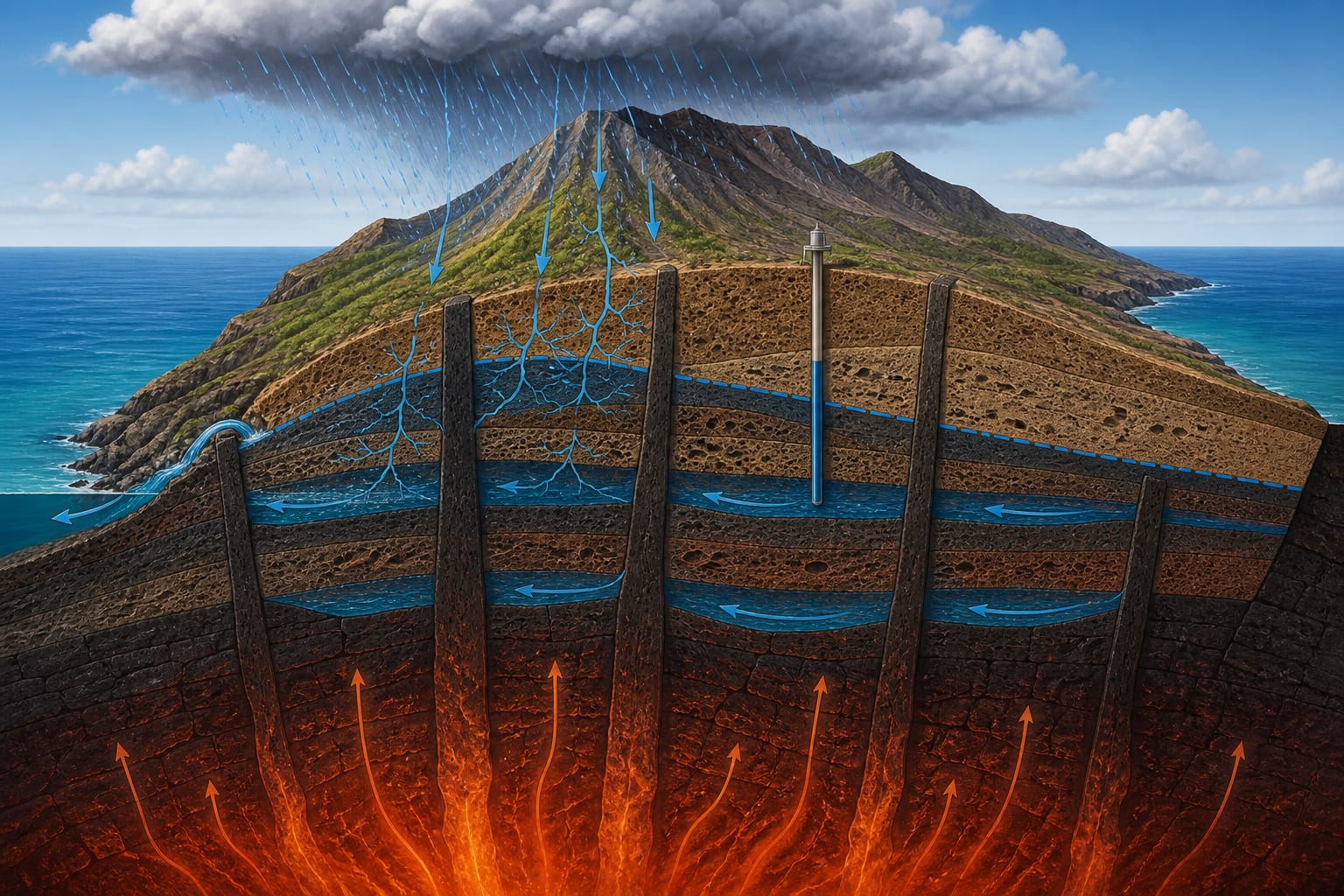
Recharge is the water that enters the aquifer from the surface, mainly through rainfall and, to a lesser extent, through runoff in barrancos and zones of fractured lava. In the Canaries, recharge varies enormously between the windward side of the high islands, where trade-wind clouds bring constant moisture, and the arid eastern zones, where rainfall is scarce and irregular.[1][2]
Once infiltrated, water flows gravitationally towards areas of lower potential energy, following fractures, contacts between lava flows and the most permeable levels. The direction of flow does not always coincide with the topographic surface, because volcanic layers may dip or be truncated by faults that divert water towards the sea or into other hydrogeological units.[1][2]
Porosity determines how much water a rock can store. In Canarian volcanic materials, porosity can be intergranular, occurring between scoria or pyroclast fragments, or fractured, opening in cracks and joints. Massive basaltic lavas have low primary porosity, but can host high permeability if fractured.[1][2]
Permeability, in turn, controls the speed at which water moves and therefore the productivity of an aquifer. Two rocks can have the same porosity but different permeability if one has connected pores and the other isolated pores. This difference explains why some areas of similar appearance produce very different yields.[1][2]
An aquifer is a geological formation capable of storing and transmitting water in exploitable quantities. In the Canaries, aquifers are found mainly in fractured basaltic lava flows, scoria debris and pyroclastic deposits. Each island may have several distinct aquifers, separated by low-permeability levels or by lithological changes.[1][2]
The hydrogeological catchment is the recharge area that feeds an aquifer. It does not always coincide with the visible catchment defined by barrancos, because groundwater can cross topographic boundaries through deep fractures. Knowing the real extent of the catchment is essential for calculating available recharge and planning extraction.[1][2]
The western islands, younger and higher, have deep aquifers with relatively high recharge from rainfall on the summits and condensation of trade-wind clouds. The eastern islands, older and lower, depend on coastal aquifers and small catchments where recharge is limited and historical exploitation has lowered water tables.[1][2]
This difference explains why some islands have developed systems of horizontal galleries to capture water from inside cliffs, while others depend more on desalination and reuse. There is no single hydrogeological solution for the whole archipelago; each island requires a plan adjusted to its climate, geology and demand.[1][2]
The Canarian hydrological plans establish the water body, recharge, permitted extraction and qualitative status of each aquifer. Their aim is to prevent overexploitation, which can cause falling water tables, reduced ecological flows and marine intrusion in coastal aquifers.[1]
Sustainability depends not only on the amount extracted, but also on water quality. Agricultural, urban or saline contamination can make an aquifer that is numerically balanced unusable for certain purposes. That is why hydrochemical monitoring is as important as measuring levels and flows.[1][2]
Overexploitation of aquifers not only reduces available resources, but can also induce marine intrusion and degrade ecosystems associated with water tables. Geothermal energy, if not managed with sustainability criteria, can locally deplete available heat and compete with other uses of groundwater. Both resources require continuous monitoring and regulation based on up-to-date data.[1][2][3]
Geothermal energy uses heat stored in rocks and groundwater. In the Canaries, the geothermal gradient is higher in areas with recent volcanic activity, where residual heat from magmatism can raise the temperature of water at accessible depths. The geothermal manuals of the Government of the Canary Islands set out the methodology for evaluating this resource.[1][2]
Low-enthalpy geothermal use, for heating and hot water, is the most developed in the archipelago. High-enthalpy projects require deep drilling and detailed knowledge of permeability and temperature at depths of several kilometres, fields in which available information remains fragmentary.[1][2]
Water that enters an aquifer from the surface, mainly through rainfall and infiltration in permeable terrain.
Proportion of empty spaces in a rock that determines its capacity to store water.
Capacity of a rock to allow water to pass through, determined by the connection between its pores or fractures.
Geological formation that stores and transmits water in sufficient quantities to be exploited.
Low-permeability layer that slows water flow between aquifers without stopping it completely.
Small-section horizontal tunnel built to capture groundwater or seepage in hillsides.
Entry of salt water into a coastal aquifer due to overexploitation or natural reduction of recharge.
Use of natural heat stored in rocks and groundwater for energy purposes.
Rainfall and, in some areas, condensation of trade-wind clouds supply water to the island surface.
Water enters fractured lavas, scoria and pyroclasts, following zones of higher permeability.
Water accumulates in porous and fractured spaces, forming an underground reserve continuously fed by recharge.
Horizontal galleries capture seepage water in hillsides, while wells and boreholes access deeper aquifers.
Water-table levels and chloride concentration are monitored to detect overexploitation or marine intrusion.
Tenerife exemplifies the system of a high, humid island. Its summits receive rainfall and cloud condensation that recharge deep aquifers in basaltic lava flows. Exploitation combines horizontal galleries in hillsides, inland wells and, to a lesser extent, coastal boreholes. The hydrological plans distinguish several water bodies with different recharge and extraction rates.[1][2]
Fuerteventura represents the opposite extreme: a low, arid and geologically old island where recharge is scarce and coastal aquifers are vulnerable to marine intrusion. Historical exploitation has lowered water tables in some areas, forcing groundwater to be complemented by desalination and reuse. The difference between the two islands shows that there is no single hydrogeological model for the Canaries.[1][2]
Both cases underline that hydrogeological sustainability depends on adjusting extraction to actual recharge and protecting water quality. In Tenerife, the challenge is to avoid overexploitation of coastal aquifers; in Fuerteventura, the task is to maximise the use of very limited recharge without degrading the resource.[1][2]
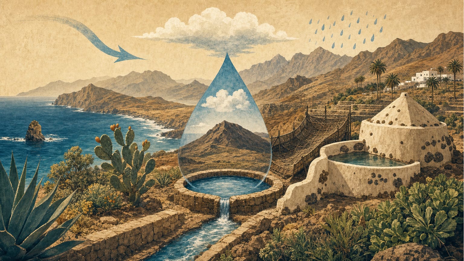
Water is a limited and essential resource in the Canary Islands. This article examines its origins, management strategies, and the challenges of its use.
Read more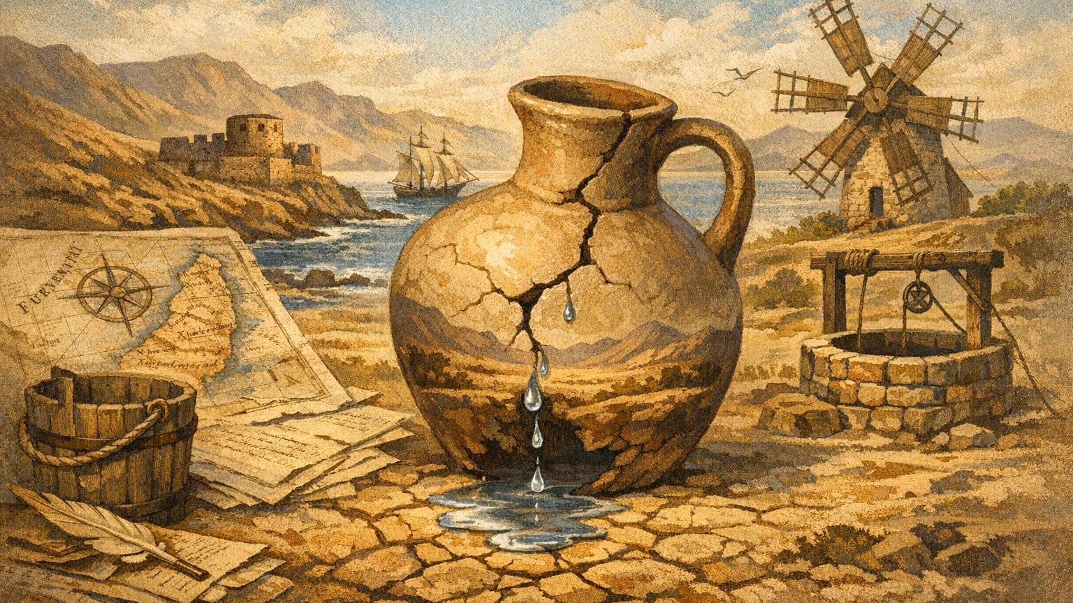
Fuerteventura's history is shaped by its chronic water scarcity, a challenge that has defined its people and landscape. Learn how the islanders and their council fought to secure every precious drop.
Read moreInstitutional tools for consulting maps, monitoring and planning.
Reference mapping by sheets from IGME-CSIC.
Planning of water bodies, recharge, extraction and status of aquifers in the Canaries.
Technical guides for the evaluation and sustainable exploitation of geothermal resources.