

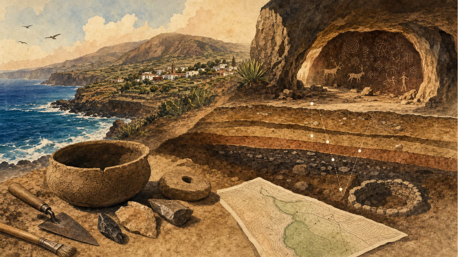
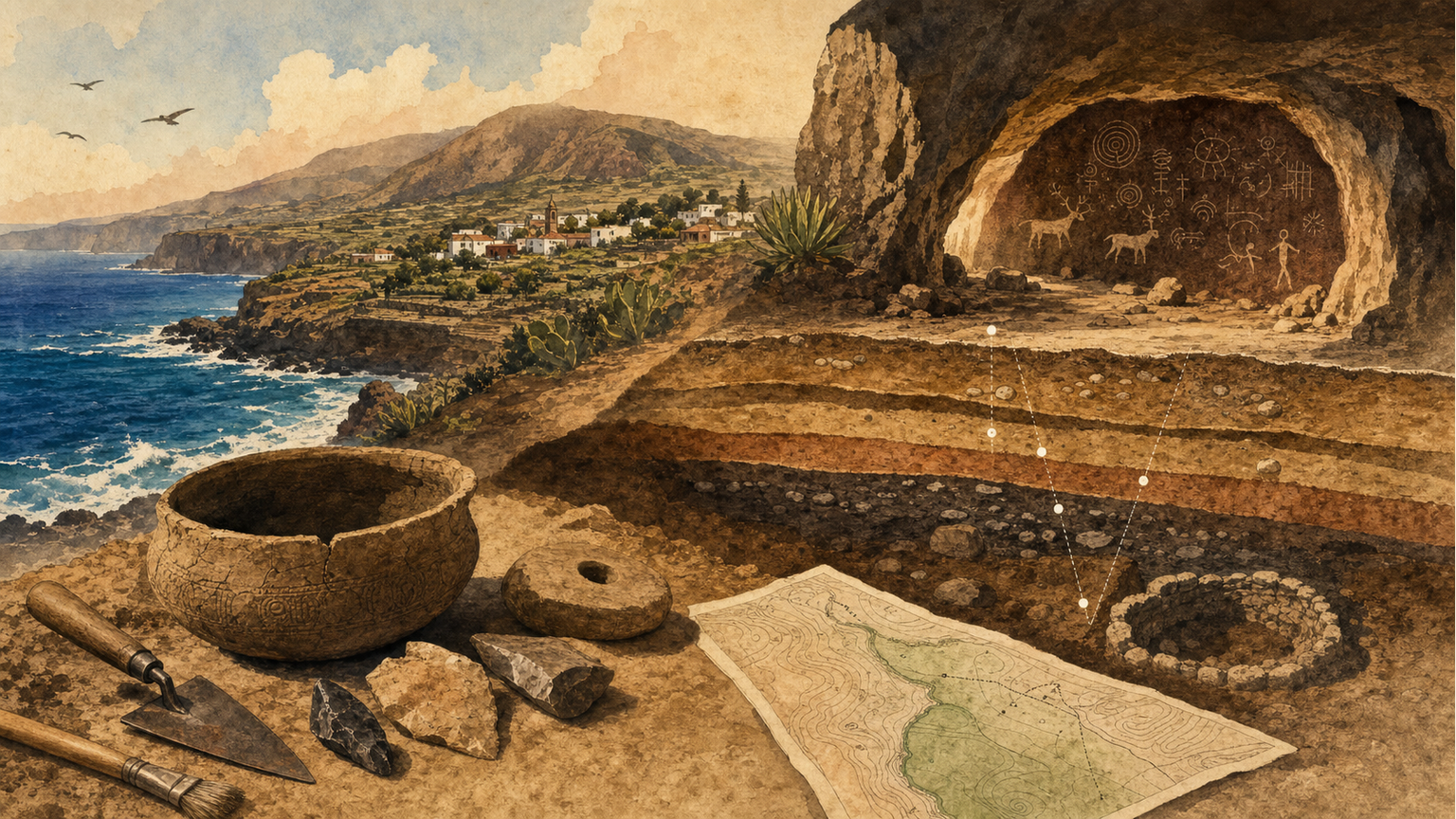
The history of archaeological survey in the municipality of Tegueste illustrates the evolution of methods and approaches applied to the study of Guanche settlement in the area. Since the mid-20th century, there has been a consistent interest in locating and cataloguing sites, though the approaches and results have varied significantly over time [1].
The first relatively intensive survey in Tegueste was conducted as part of the Carta Arqueológica de Tenerife in 1980, which mentioned several sites. However, technical limitations at the time made the information less useful for later research, as site locations were not always translated into precise geographic coordinates [1].
Later, the Inventario del Patrimonio Arqueológico de las Canarias Occidentales (IPACO), led by Juan Francisco Navarro Mederos and coordinated by Vicente Valencia Afonso, represented the most comprehensive survey until the 2011 intervention. This work expanded the number of known sites in Tegueste, especially in the Barranco de Agua de Dios, where 39 of the 48 recorded sites were located. Most of these sites were habitation and burial caves, and for the first time, the sites that would form the Conjunto Arqueológico de Los Cabezazos were identified [1].
In the following decades, most interventions focused on the Barranco de Agua de Dios, with sectoral studies that, while increasing the number of inventoried sites, mainly emphasized locating and describing the sites, often leaving aside historical interpretation of their spatial distribution [1]. For instance, the 2007 partial survey led by Candelaria Rosario Adrián and Vicente Valencia Afonso identified 39 archaeological sites, 12 of which were new, but the resulting publication focused more on reporting results than on explaining territorial dynamics [1].
The 2011 fieldwork marked a significant advance, doubling the number of known sites and increasing the typological diversity, including surface material scatters, open-air settlements, hut floors, and rock art [1]. However, difficulties in precisely locating sites in the Barranco, due to dense vegetation and confusion caused by different toponyms in each inventory, have been a constant challenge for proper heritage assessment [1].
Overall, the historical information obtained from these surveys remains limited, as most work has prioritized heritage management over historical interpretation. The mere location of sites does not automatically increase knowledge of the aboriginal past unless inserted into a general explanatory framework that allows for understanding the territorial and social organization of the Guanches in Tegueste [1].