Why this island matters
La Palma es una isla decisiva para entender la relacion canaria con la verticalidad, el bosque, el comercio atlantico y el volcanismo activo. Su historia combina resistencia benahoarita, puerto moderno, agricultura de laderas y una conciencia muy viva del territorio.
La Caldera de Taburiente, Santa Cruz de La Palma, el Roque de los Muchachos y Cumbre Vieja explican una identidad atravesada por ciencia, memoria, naturaleza y experiencia colectiva. La isla muestra como la geografia puede condicionar comunicaciones, economia y formas de pertenencia.
Cultural landscape
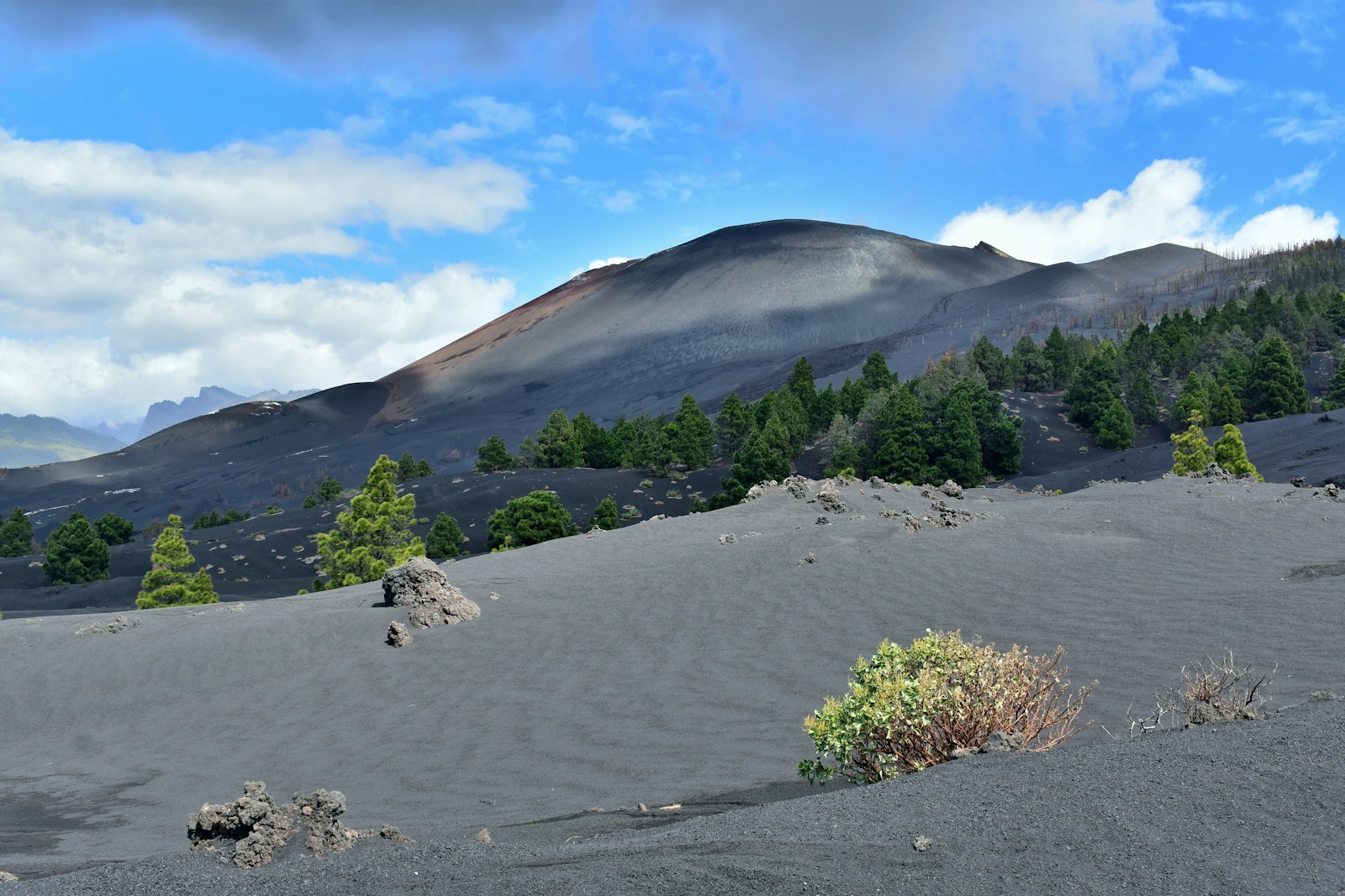
The island's identity rests on the power of landscape and on a culture very conscious of its geology. Caldera de Taburiente, the observatories of Roque de los Muchachos and the recent memory of Cumbre Vieja show how science, nature and collective experience coexist here.
Municipalities and territories
See all 14 municipalities of La Palma →- BarloventoBarlovento is a municipality of La Palma, presented through settlement, landscape, local memory and its links with the rest of the island.
- Breña AltaBreña Alta is a municipality of La Palma, presented through settlement, landscape, local memory and its links with the rest of the island.
- Breña BajaBreña Baja is a municipality of La Palma, presented through settlement, landscape, local memory and its links with the rest of the island.
- El PasoEl Paso is a municipality of La Palma, presented through settlement, landscape, local memory and its links with the rest of the island.
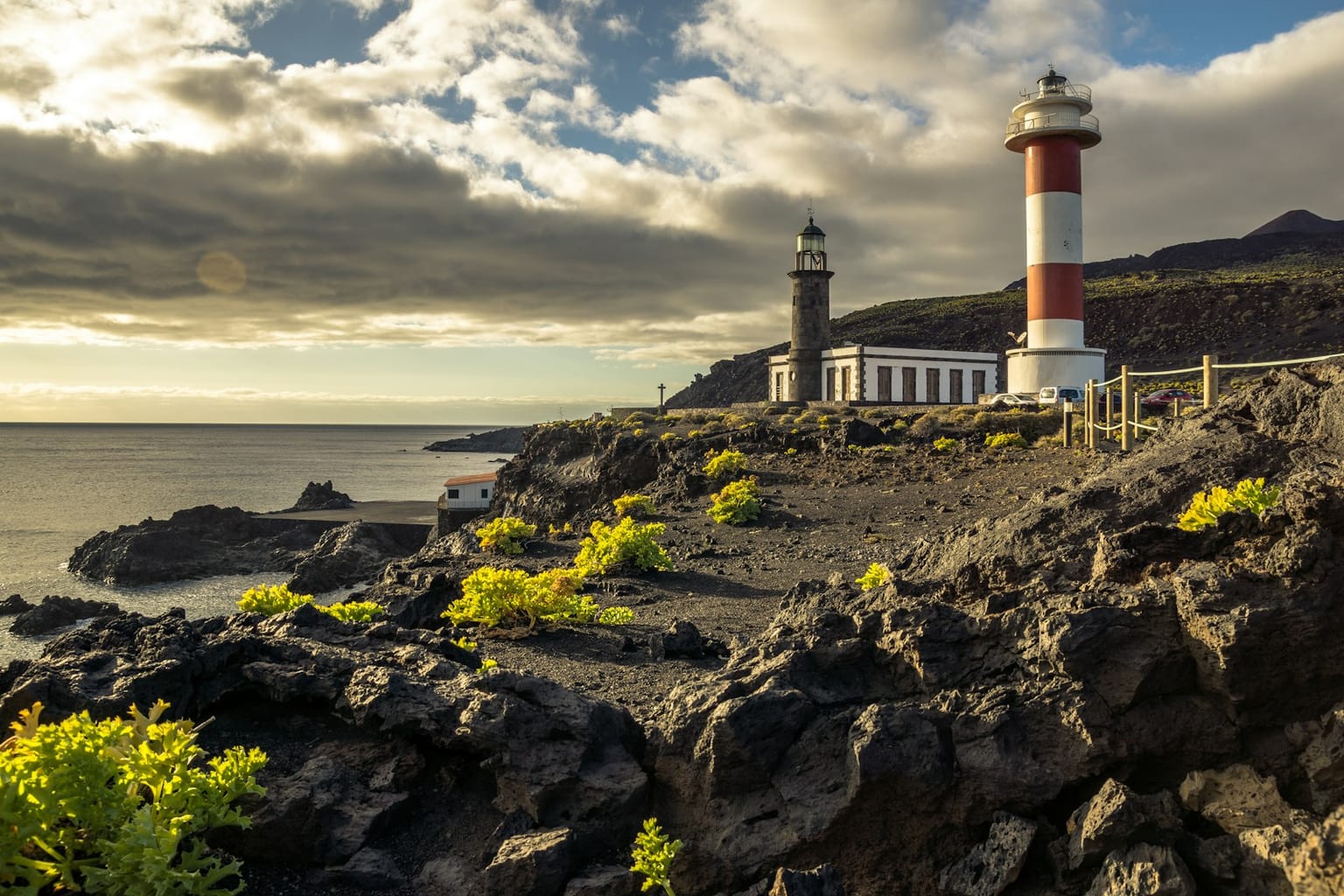
- Fuencaliente de La PalmaFuencaliente de La Palma is a municipality of La Palma, presented through settlement, landscape, local memory and its links with the rest of the island.
- GarafíaGarafía is a municipality of La Palma, presented through settlement, landscape, local memory and its links with the rest of the island.
- Los Llanos de AridaneLos Llanos de Aridane is a municipality of La Palma, presented through settlement, landscape, local memory and its links with the rest of the island.
- PuntagordaPuntagorda is a municipality of La Palma, presented through settlement, landscape, local memory and its links with the rest of the island.
Explore the island
Themes to understand La Palma
Each block summarises a line of interpretation and links to its own page. The main island page works as an entry point; the sections expand geography, history, nature, heritage and social life without turning this hub into a single long article.
Geography
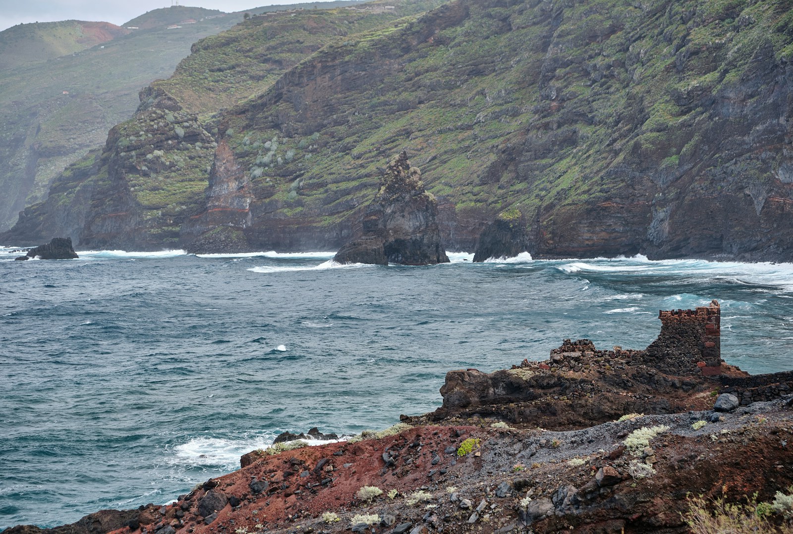
Young, steep and the rainiest island in the archipelago, La Palma can be read in its landscape: the Caldera de Taburiente and the Las Angustias ravine, the Roque de los Muchachos with its observatories at 2,426 metres, the active Cumbre Vieja ridge, the laurel forest of Los Tilos and a cliff-lined coast between Santa Cruz de La Palma and the Aridane Valley.
Explore sectionHistory
La Palma's history joins the Benahoarite world of the twelve chiefdoms, Alonso Fernández de Lugo's conquest of 1492-1493, the sugar and wine of the Atlantic circuits and the eruptive record that culminates in Cumbre Vieja 2021.
Explore sectionNature
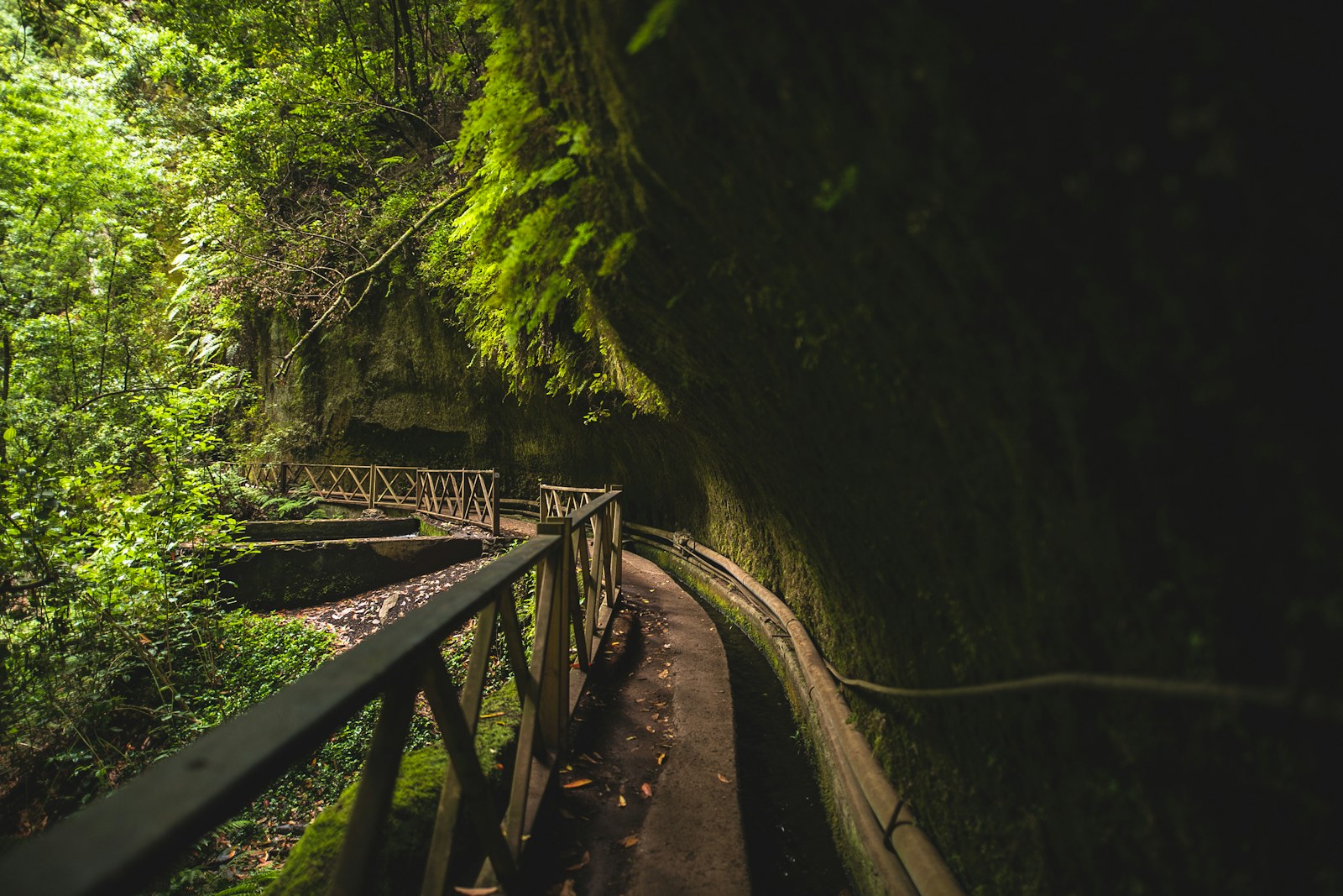
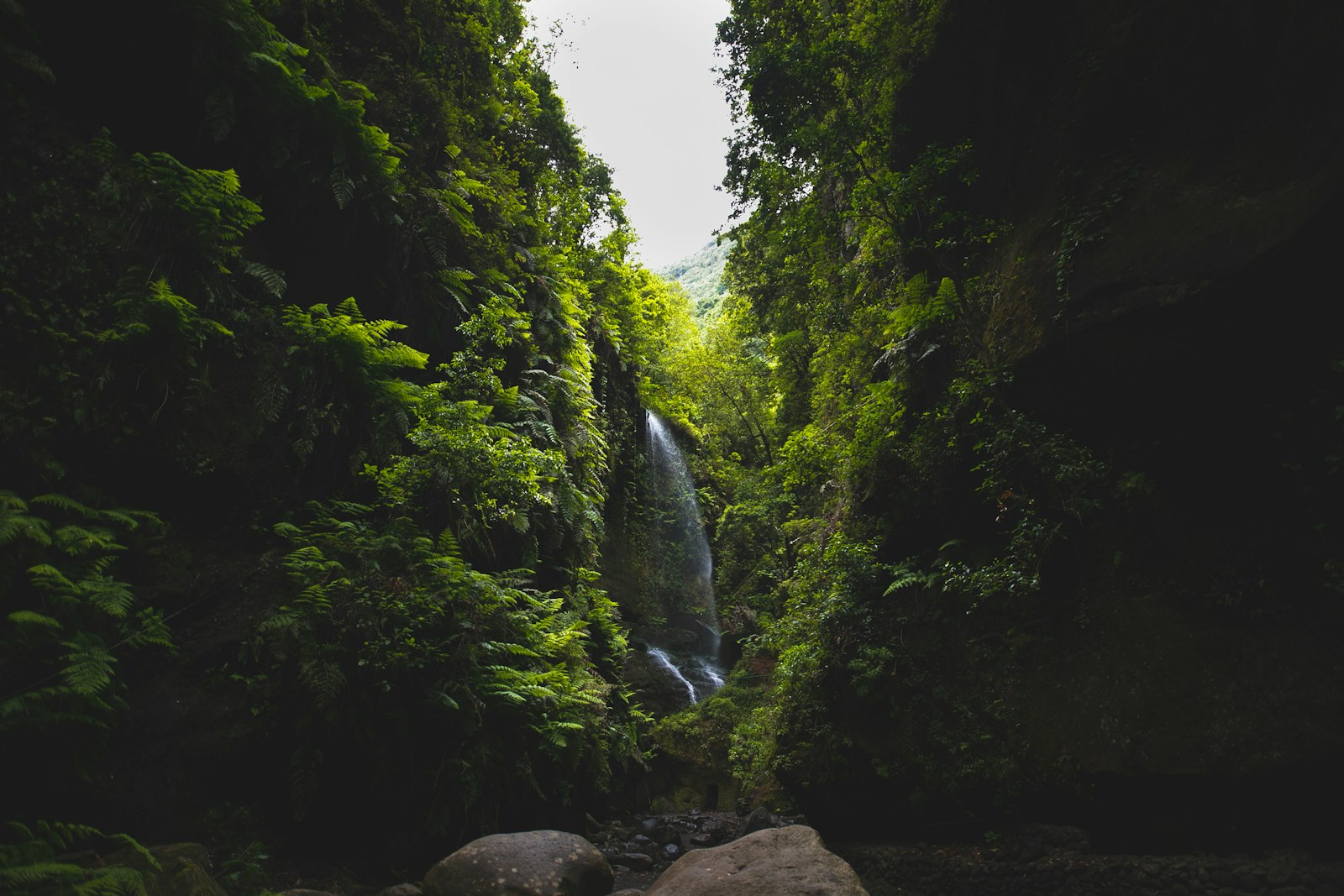
The island stands out for its laurel forest, pine woods, volcanoes, observatories, ravines and protected areas of remarkable altitudinal continuity.
Explore sectionFlora
Laurel forest, Canary pine woodland, fayal-brezal heath, cliff vegetation and volcanic species reveal a remarkably diverse flora.
Explore sectionFauna
Forest birds, invertebrates, reptiles and marine life make up a biodiversity shaped by isolation and rugged relief.
Explore sectionHeritage
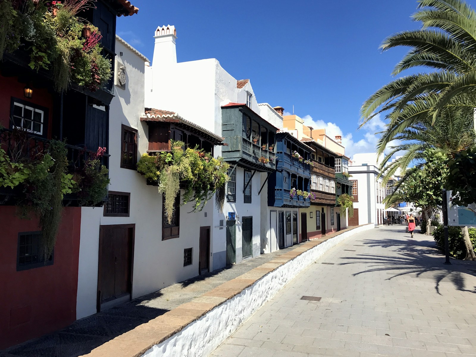
Santa Cruz de La Palma, old trails, traditional architecture, archaeological sites and farming landscapes form a remarkably dense heritage.
Explore sectionCulture and Traditions
Festivals, crafts, music, seafaring memory and farming culture sustain a highly recognisable La Palma identity.
Explore sectionEconomy and Society
La Palma's economy has been written in successive cycles: the sugar mills of Argual and Tazacorte built on the water of the Las Angustias ravine, the port of Santa Cruz de La Palma opened to the Indies trade, wine, silk and tobacco, the emigration to Cuba and Venezuela that returned capital and indiano customs, the banana turned into an irrigated monoculture and, in our own day, the astrophysics of the Roque de los Muchachos, nature tourism and the difficult reconstruction after the 2021 eruption.
Explore sectionMunicipalities and Territories
The divide between east and west, along with summits, valleys, coast and volcanic areas, creates territories with rhythms of their own.
Explore sectionKey Places
Caldera de Taburiente, Roque de los Muchachos, Santa Cruz, Fuencaliente and Cumbre Vieja frame the way the island is read.
Explore sectionLinked Figures
Benahoarita leaders, cultural figures and scientific profiles connect the island with history, art and knowledge.
Explore sectionIsland Chronology
La cronologia palmera enlaza conquista, comercio atlantico, volcanes historicos, observatorios y reconstruccion contemporanea.
Explore section