

Introduction
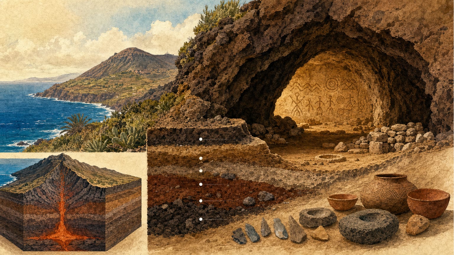
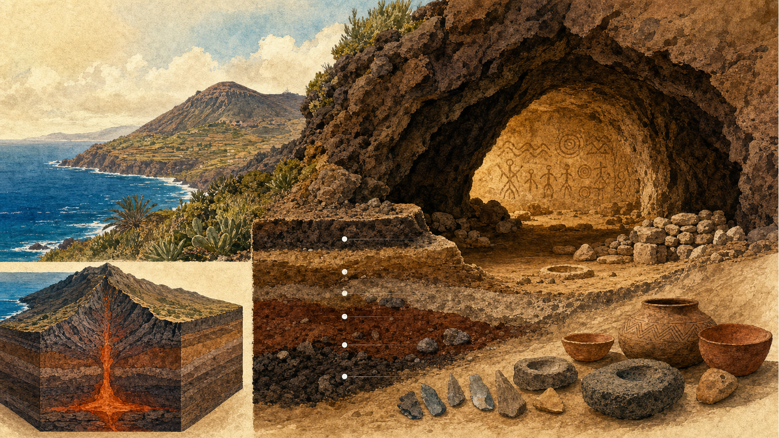
The archaeological site of La Cerera, situated on the southern slope of Arucas Mountain, offers a unique case for studying the geological formation of volcanic caves and their subsequent sedimentary infill on the island of Gran Canaria[1].
Topographical Features and Location
La Cerera cave is located at an altitude of 285 meters, in an area that connects with the southern slopes of Arucas Mountain. This mountain is a volcanic cone over 400 meters high, standing out in the surrounding landscape. To the north, the mountain descends gently to the sea, while to the south it merges with the Arucas plain, an endorheic depression formed by the closure of several ravines due to the presence of the volcanic cone[1].
Geological Framework of Arucas Mountain
The Arucas volcano is mainly composed of a scoria agglomerate, with more compact breccia zones. The age of the volcano has been estimated by K/Ar dating at 313±30 ka, although recent studies place it at 151±11 ka[1]. Geochemical analyses classify the rocks as tephronolites and phonolites, indicating a certain degree of magma differentiation[1].
Formation of the La Cerera Cave
Along the road to the summit of Arucas Mountain, numerous caves similar to La Cerera can be observed, though smaller in size. The formation process of these caves is linked to volcanic activity: the volcano emitted lava flows to the north, while the main cone was formed by the accumulation of pyroclastic materials. Massive accumulations of fused scoria, stacked one atop another, eventually welded together and flowed downhill[1].
Caves are created when the roofs, formed by compact lava layers, are surrounded by less cemented pyroclasts. The rearrangement of material and the formation of gas bubbles create voids beneath the lava packages. If erosion exposes one of these areas, a cave is formed[1].
Sedimentary Infill of the Cave
Once the cavity is connected to the outside, infilling processes begin. The first documented episode is a massive roof collapse, especially in the northern area of the shelter, which occurred before human occupation, as no archaeological remains were found[1].
Subsequently, the fall and accumulation of small fragments, dragged by water, formed a pre-archaeological level. Later, a thick sedimentary layer with a high content of fine fraction and archaeological remains was deposited, clearly derived from human presence. Sedimentological analyses show different sand populations, indicating low-energy water transport and wind action[1].
Conclusion
The geological and sedimentological study of the La Cerera cave helps us understand the natural and anthropogenic processes that have shaped this site, providing valuable information for the archaeological interpretation of settlement in the Arucas region and the island of Gran Canaria[1].