

Altitudinal Zonation of Vegetation in the Canary Islands: Humboldt’s Model and Its Evolution
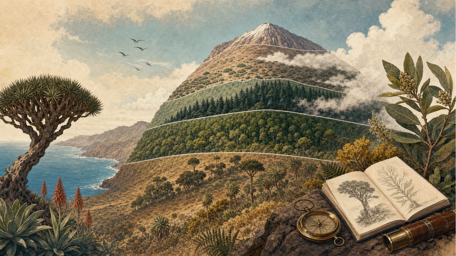
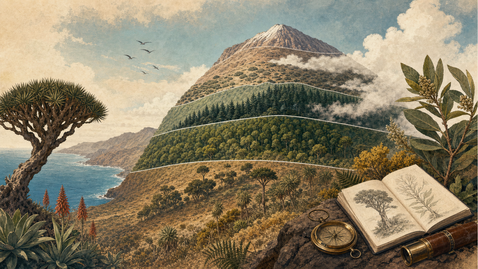
Alexander von Humboldt’s visit to Tenerife in 1799 marked a turning point in the scientific interpretation of Canarian vegetation. After his brief stay, Humboldt proposed a model of altitudinal zonation, describing five vegetation belts according to altitude and ecological conditions[1]. Published in French in 1816, his classification included: 1) the region of African forms (0–200 toises); 2) the region of vines and cereals (200–430 toises); 3) the laurel region (430–680 toises); 4) the Canary pine region (680–980 toises); and 5) the broom region (980–1730 toises)[1].
Humboldt’s scheme was based on the assumption that the vegetation was largely untouched by humans, resulting in a static and simplified view of plant distribution[1]. This perspective was widely accepted by the scientific community and became dogma for decades, influencing both the interpretation and management of Canarian forests[1].
However, subsequent studies have shown that the ecological and historical reality of Canarian vegetation is far more complex and dynamic. For example, the distribution of pine forests is not strictly limited to a specific altitudinal belt, as Humboldt suggested. Research by Ceballos and Ortuño (1951) expanded the altitudinal limits of pine forests, placing them between 700–900 meters on southern slopes and 1,300–1,500 meters on the windward side[1]. In the absence of human and livestock intervention, pine forests could even reach the coast, as evidenced by the relict pine forest of Arguineguín in Gran Canaria[1].
The traditional view, which equated current vegetation with natural formations, overlooked the historical processes of land use and landscape transformation. Livestock pressure, deliberate burning, and forest exploitation have significantly altered the composition and distribution of Canarian forests from aboriginal times to the present[1]. For example, the fayal-brezal formation, often considered natural, is in many cases the result of selective pressure and overexploitation of the most useful species[1].
While Humboldt’s zonation remains a key reference for understanding Canarian vegetation, it must be interpreted in light of current knowledge about ecological dynamics and the history of human intervention in the archipelago. The Canarian forest landscape is the result of ongoing interaction between natural factors and human activities, requiring an integrated and flexible approach for its study and conservation[1].