

Pre-Hispanic EraAll islandsCulture
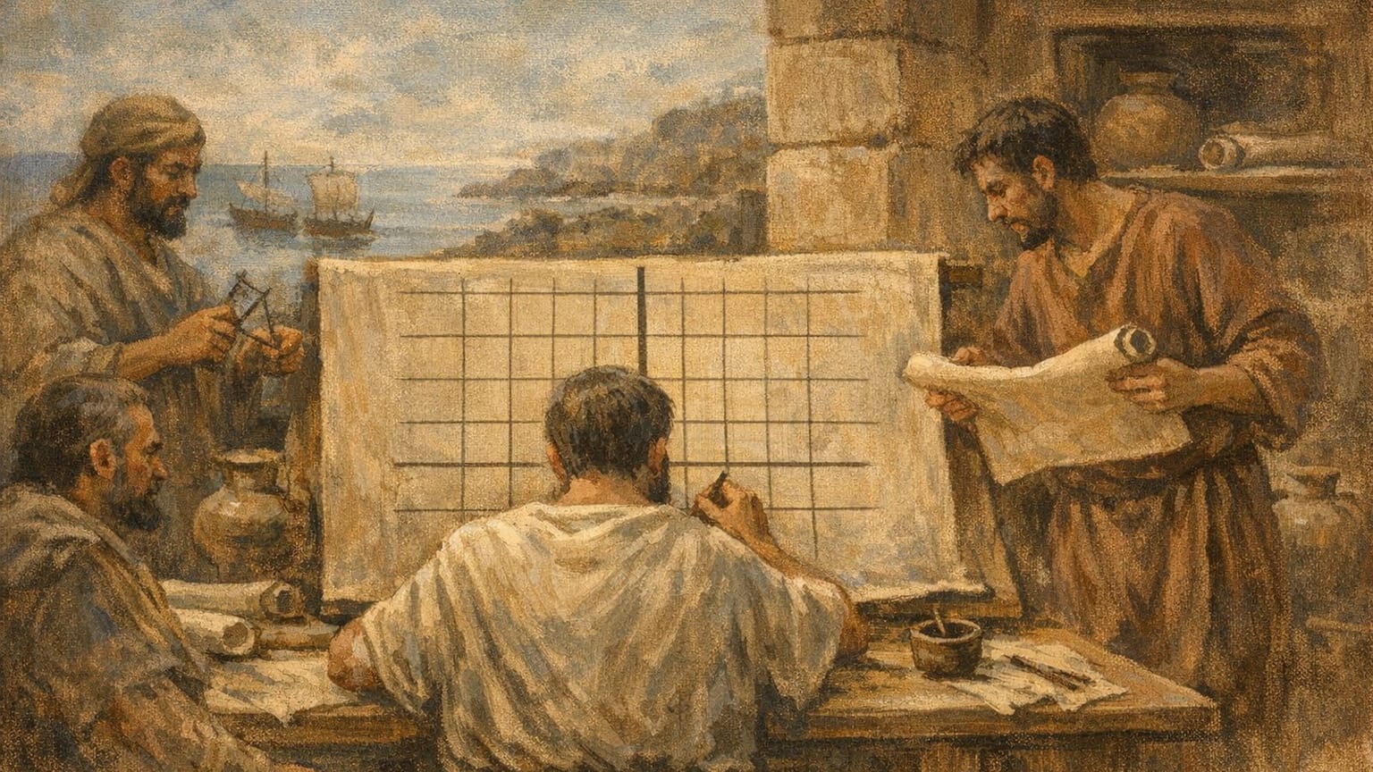
In the second century AD, Claudius Ptolemy used the Fortunate Isles as the western reference for longitudes in his Geography. García García connects this cartographic use with ancient knowledge of the Canaries transmitted by earlier authors. Christian Marx’s study examines the meridian’s location and the difficulties of identifying places on the African coast and the islands from Ptolemy’s coordinates. This ancient reference should not be confused with an exact modern location or automatically assigned to a particular island. The event is dated by century; no precise year of composition is established here.