
7 municipalitiesArrecife806 km2

This page reads Lanzarote through its municipalities, main settlements, landscapes, heritage places and special territories.

Use the map and the place cards to connect municipal boundaries with concrete landmarks, coastal areas, uplands and local memory across Lanzarote.

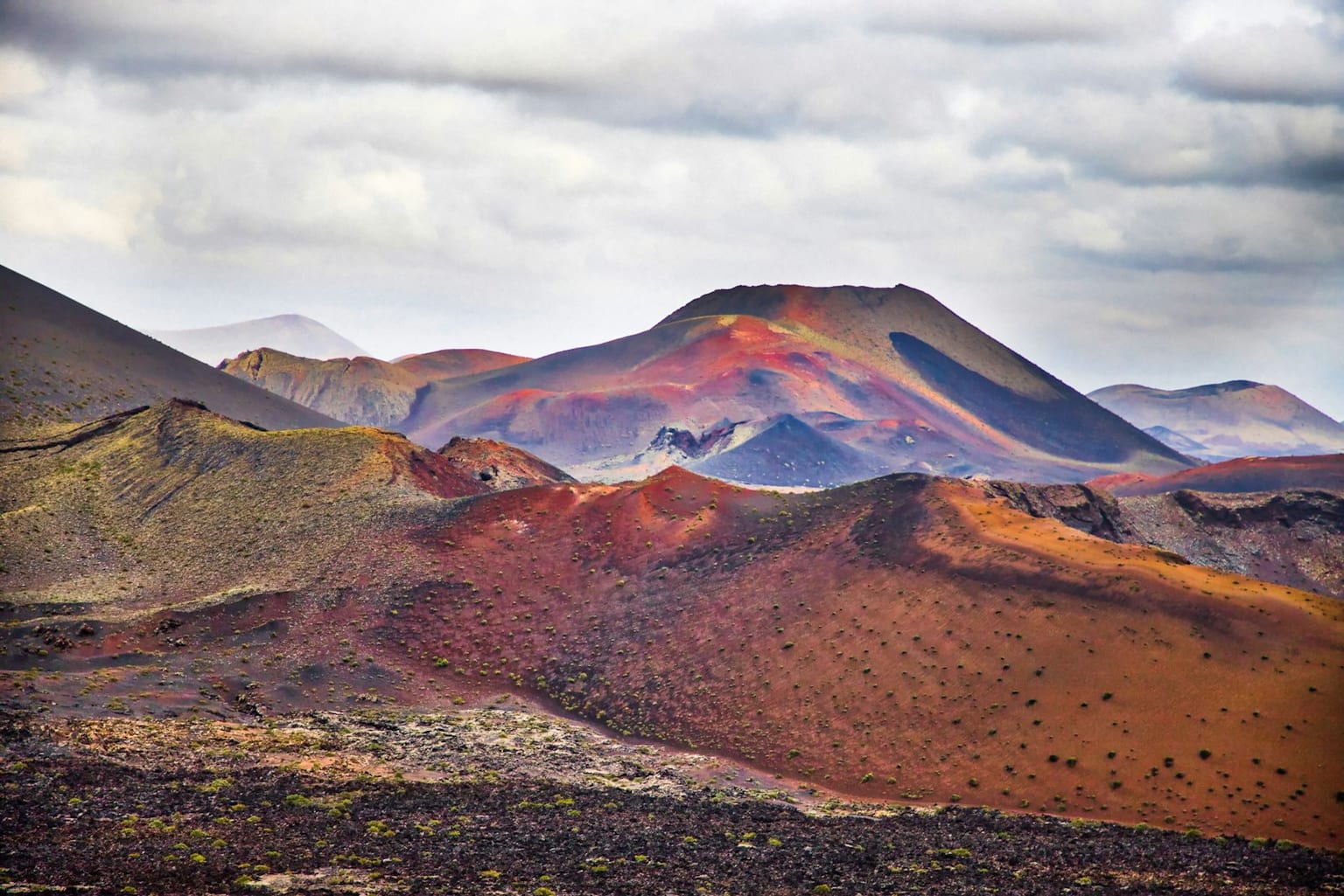
Montanas volcanicas de Timanfaya en Lanzarote

Municipal map

Municipal boundaries and main places of Lanzarote.

Cargando mapa interactivo...

Key territorial places

Concrete places for reading landscape, heritage, coast, uplands and local memory without repeating the municipal list.

Nature

Parque Nacional de Timanfaya

Volcanic field born from the historic eruptions of the eighteenth century, key to understanding Lanzarote's modern landscape.

Landscape

La Geria

Wine-growing landscape of pits and dry-stone walls adapted to volcanic lapilli and island winds.

Nature

Jameos del Agua

Cultural intervention in a volcanic tube, associated with César Manrique and the relationship between art, tourism and nature.

Nature

Cueva de los Verdes

Visitable section of the La Corona volcanic tube, historically used as a refuge and now interpreted as a geological space.

Museum

Jardín de Cactus

Work by César Manrique integrating botany, popular architecture and the agricultural landscape of northern Lanzarote.

Heritage

Castillo de San Gabriel

Coastal fortification in Arrecife related to port defence and the maritime history of the capital.

Landscape

Salinas de Janubio

Salt-making landscape in the southwest that preserves traditional productive activity in direct contact with the volcanic coast.

Landscape

Risco y playa de Famara

Northwestern coastal front, dominated by the cliff and by a beach open to the Atlantic.

Viewpoint

Mirador del Río

Viewpoint integrated into the Famara cliff, with views towards La Graciosa and the Chinijo Archipelago.

Landscape

Charco de los Clicos

Coastal lagoon at El Golfo, recognizable for the contrast between water, dark sand and the lavas of the island southwest.

Nature

Archipiélago Chinijo

Group of islets and waters north of Lanzarote, key to understanding the territorial relationship between Famara and La Graciosa.

Coast

Playas de Papagayo

Coves in southern Lanzarote integrated into the coastal landscape of Los Ajaches.

Heritage

Castillos de Santa Bárbara y San José

Fortifications linked to the historic defence of Teguise and Arrecife against maritime raids.

Heritage

Ermita de los Dolores

Sanctuary in Tinajo linked to island devotion and the volcanic landscape of west-central Lanzarote.

Municipalities of Lanzarote

Alphabetical order. Statistical data subject to ISTAC/INE validation.

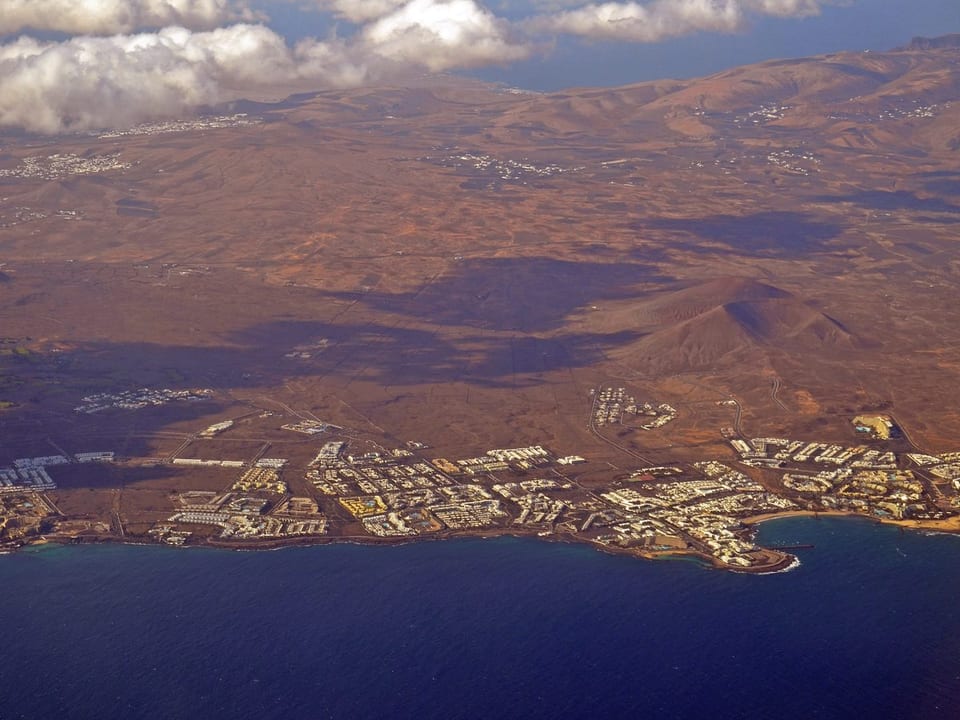
View of Arrecife, Lanzarote
Las PalmasPending data

Arrecife

Arrecife is a municipality of Lanzarote, presented through settlement, landscape, local memory and its links with the rest of the island.

Population: Pending data · Area: Pending data

View municipality
View of Haría, Lanzarote
Las PalmasPending data

Haría

Haría is a municipality of Lanzarote, presented through settlement, landscape, local memory and its links with the rest of the island.

Population: Pending data · Area: Pending data

View municipality
View of San Bartolomé, Lanzarote
Las PalmasPending data

San Bartolomé

San Bartolomé is a municipality of Lanzarote, presented through settlement, landscape, local memory and its links with the rest of the island.

Population: Pending data · Area: Pending data

View municipality
View of Teguise, Lanzarote
Las PalmasPending data

Teguise

Teguise is a municipality of Lanzarote, presented through settlement, landscape, local memory and its links with the rest of the island.

Population: Pending data · Area: Pending data

View municipality
View of Tías, Lanzarote
Las PalmasPending data

Tías

Tías is a municipality of Lanzarote, presented through settlement, landscape, local memory and its links with the rest of the island.

Population: Pending data · Area: Pending data

View municipality
View of Tinajo, Lanzarote
Las PalmasPending data

Tinajo

Tinajo is a municipality of Lanzarote, presented through settlement, landscape, local memory and its links with the rest of the island.

Population: Pending data · Area: Pending data

View municipality
View of Yaiza, Lanzarote
Las PalmasPending data

Yaiza

Yaiza is a municipality of Lanzarote, presented through settlement, landscape, local memory and its links with the rest of the island.

Population: Pending data · Area: Pending data

View municipality

Featured territories

Places with their own identity within the territorial reading of Lanzarote, without independent municipal status.

Featured territoryMunicipality: Teguise

La Graciosa

La Graciosa is an inhabited island north of Lanzarote, administratively part of Teguise and linked to the Chinijo Archipelago.

La Graciosa keeps a distinct territorial identity through beaches, volcanic cones, sandy tracks and small settlements such as Caleta de Sebo and Pedro Barba.

Although it is not an independent municipality, La Graciosa has a singular place in the Canary Islands. North of Lanzarote and administratively part of Teguise, it is an inhabited island with its own identity, linked to the volcanic and marine landscape of the Chinijo Archipelago.