
6 municipalitiesSan Sebastián de La Gomera370 km2

This page reads La Gomera through its municipalities, main settlements, landscapes, heritage places and special territories.

Use the map and the place cards to connect municipal boundaries with concrete landmarks, coastal areas, uplands and local memory across La Gomera.
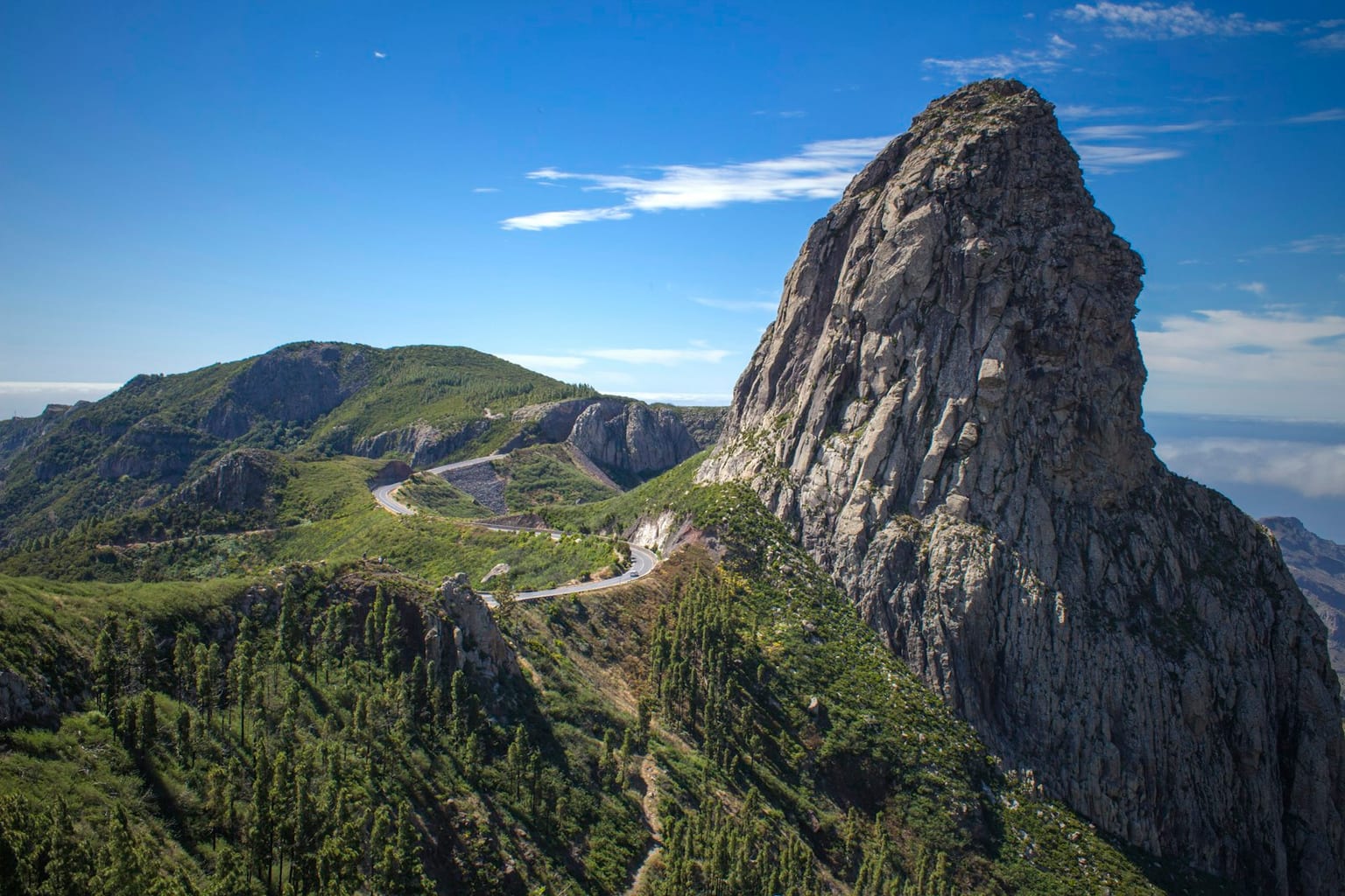
Roque de Agando y carretera de montana en La Gomera

Municipal map

Municipal boundaries and main places of La Gomera.

Cargando mapa interactivo...

Key territorial places

Concrete places for reading landscape, heritage, coast, uplands and local memory without repeating the municipal list.

Nature

Parque Nacional de Garajonay

UNESCO-recognized summit monteverde, ecological and symbolic core of La Gomera.

Heritage

Torre del Conde

Fifteenth-century fortification in San Sebastián, linked to seigneurial power and the defence of the Gomera port.

Landscape

Roque de Agando

Volcanic plug and visual reference on the central road, associated with the island's abrupt landscape.

Viewpoint

Mirador de Abrante

Viewpoint over northern La Gomera, with views towards Agulo, the Atlantic and Tenerife.

Landscape

Los Órganos

Basalt cliff on the north coast, visible from the sea and turned into one of La Gomera's geological landmarks.

Landscape

Valle Gran Rey

System of ravines, terraces and western coast showing the relationship between traditional agriculture and recent tourism.

Heritage

Hermigua y pescante

Agricultural valley in the north with export memory linked to the old davit and to terraced cultivation.

Viewpoint

Alto de Garajonay

Highest point of the island, with a panoramic reading of ravines, ridges and monteverde.

Viewpoint

Mirador del Palmarejo

Valle Gran Rey viewpoint associated with the reading of terraces, cliffs and settlement in abrupt territory.

Landscape

Roques de Ojila, la Zarcita y Carmona

Group of central island rock formations completing the volcanic reading alongside Roque de Agando.

Municipalities of La Gomera

Alphabetical order. Statistical data subject to ISTAC/INE validation.
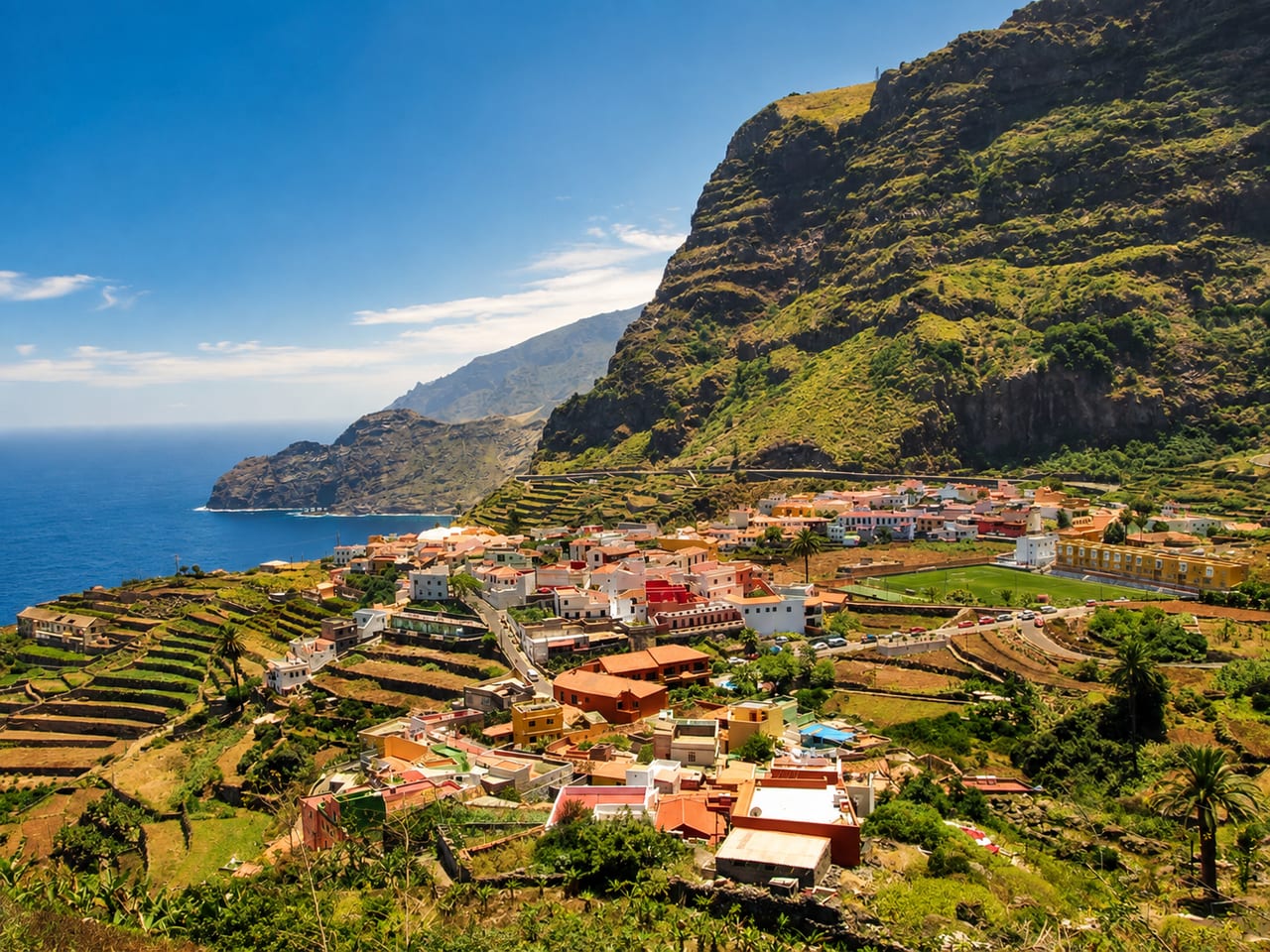
View of Agulo, La Gomera
Santa Cruz de TenerifePending data

Agulo

Agulo is a municipality of La Gomera, presented through settlement, landscape, local memory and its links with the rest of the island.

Population: Pending data · Area: Pending data

View municipality
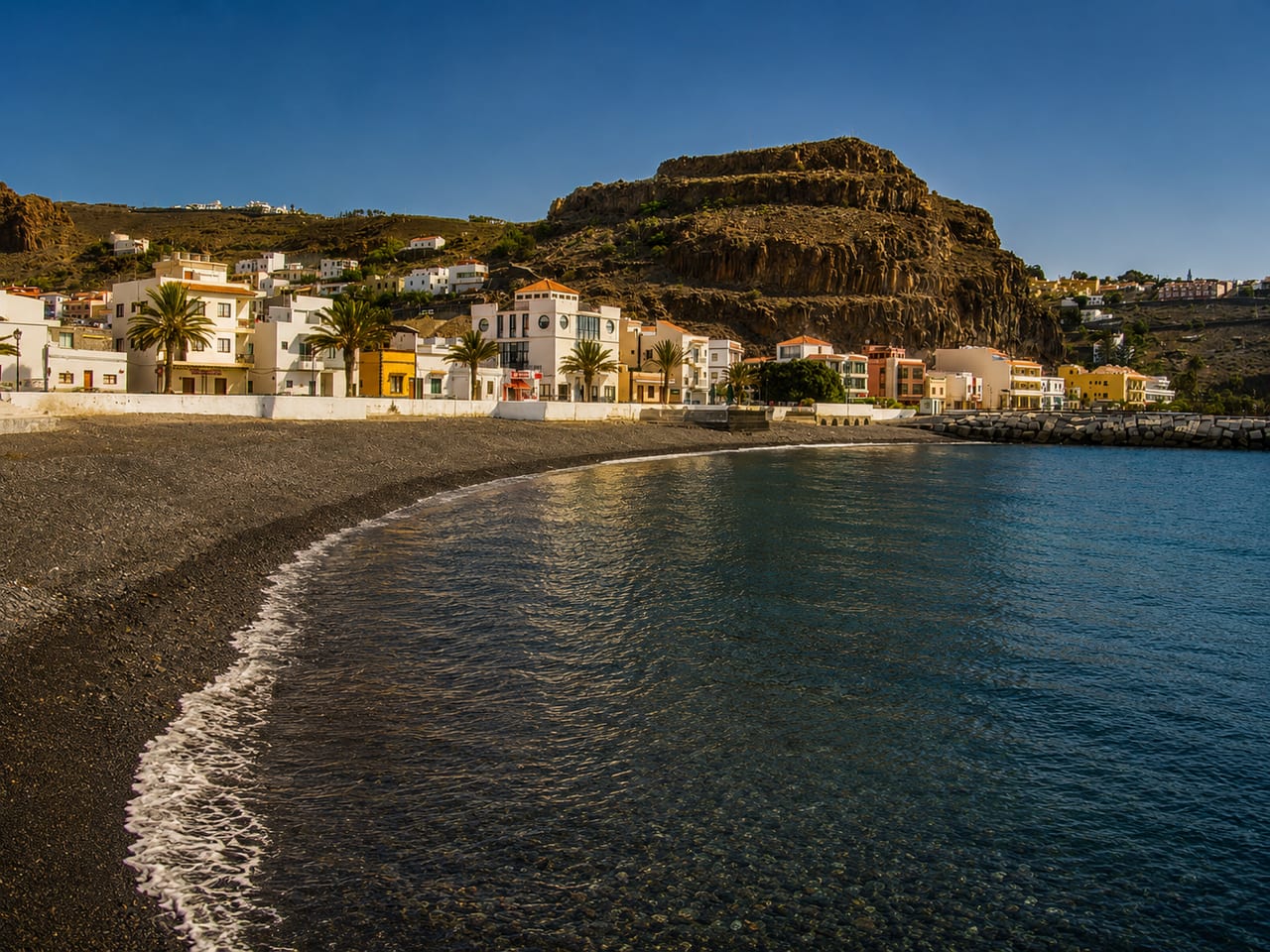
View of Alajeró, La Gomera
Santa Cruz de TenerifePending data

Alajeró

Alajeró is a municipality of La Gomera, presented through settlement, landscape, local memory and its links with the rest of the island.

Population: Pending data · Area: Pending data

View municipality
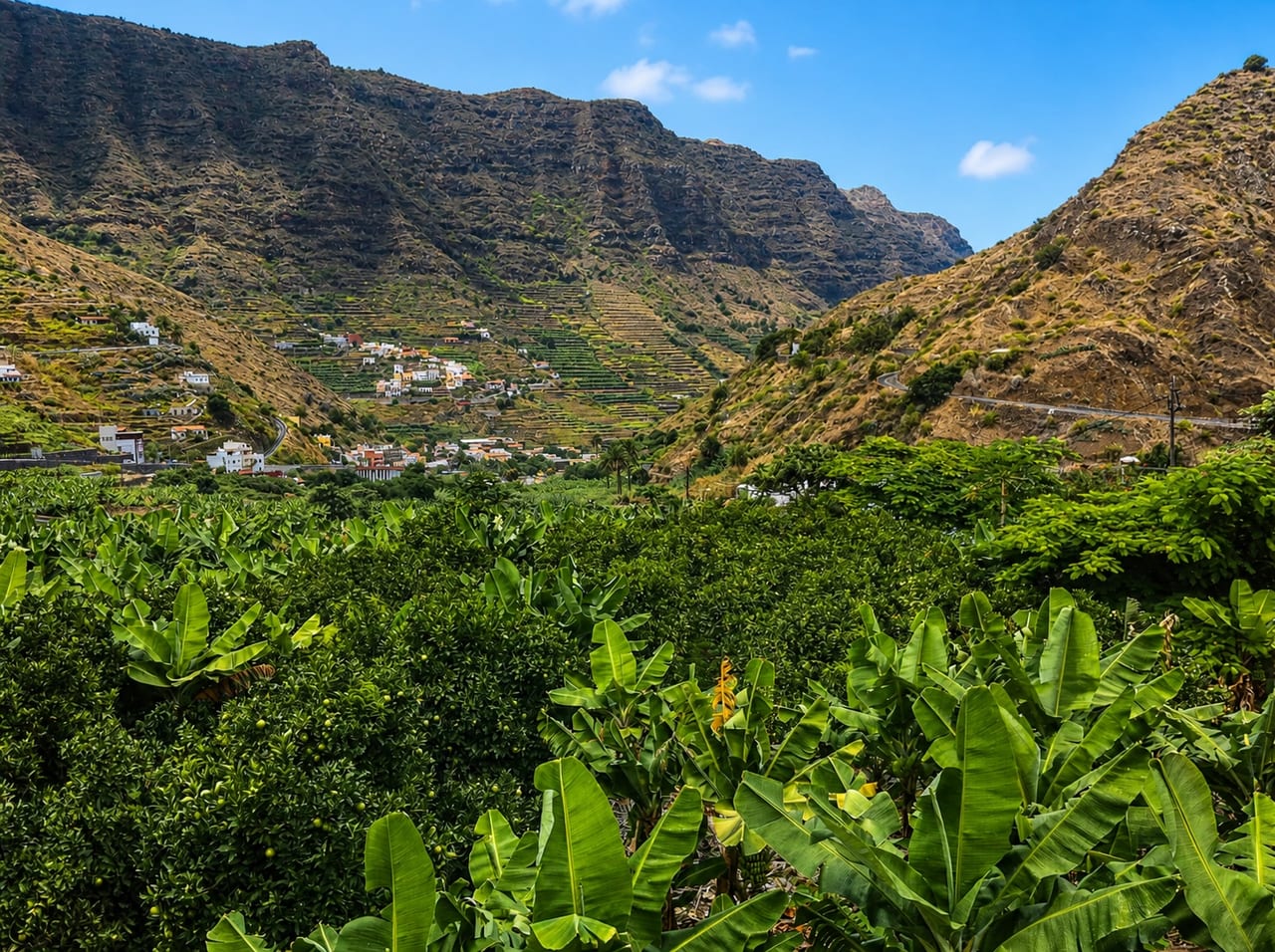
View of Hermigua, La Gomera
Santa Cruz de TenerifePending data

Hermigua

Hermigua is a municipality of La Gomera, presented through settlement, landscape, local memory and its links with the rest of the island.

Population: Pending data · Area: Pending data

View municipality
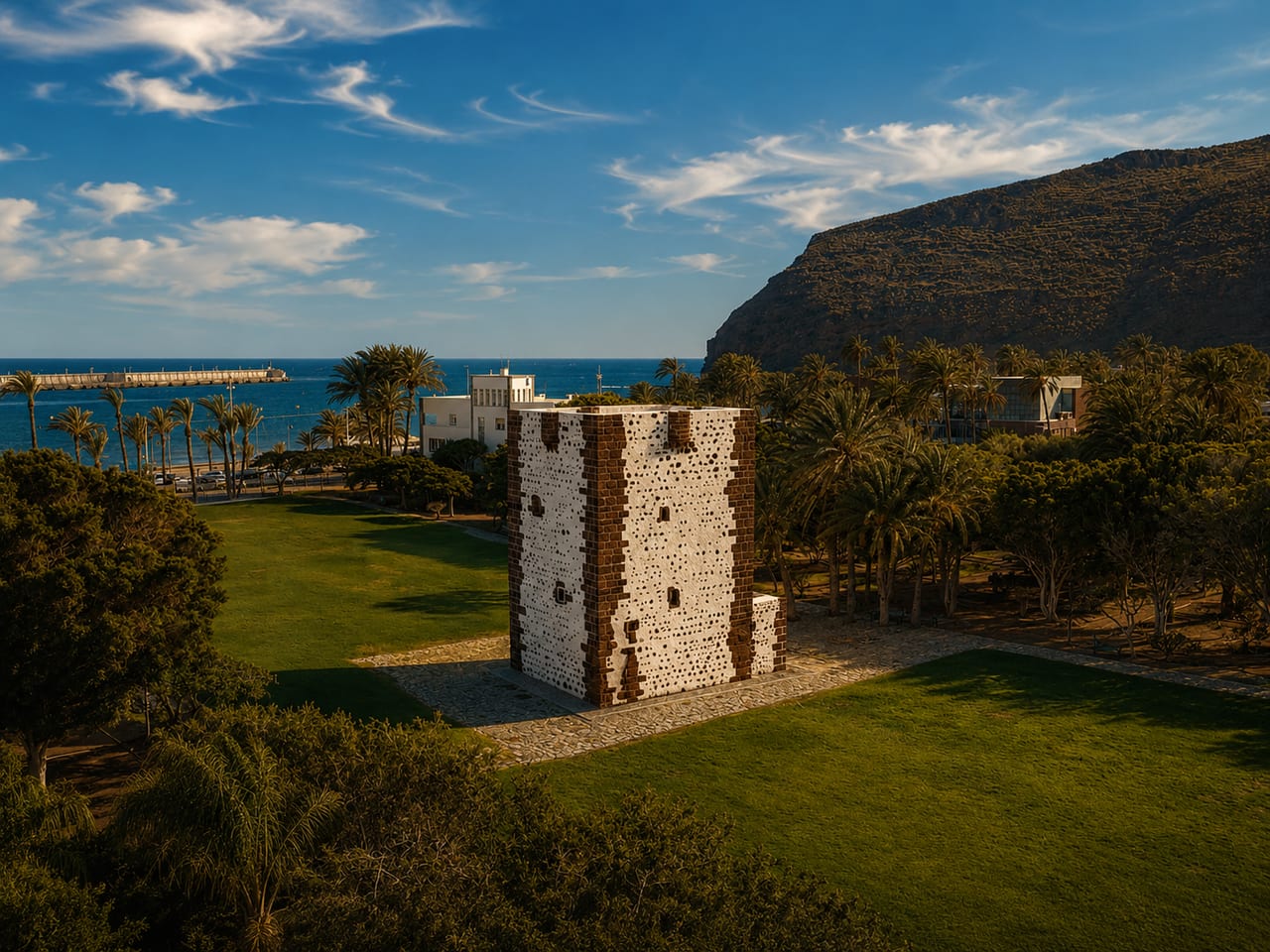
View of San Sebastián de La Gomera, La Gomera
Santa Cruz de TenerifePending data

San Sebastián de La Gomera

San Sebastián de La Gomera is a municipality of La Gomera, presented through settlement, landscape, local memory and its links with the rest of the island.

Population: Pending data · Area: Pending data

View municipality
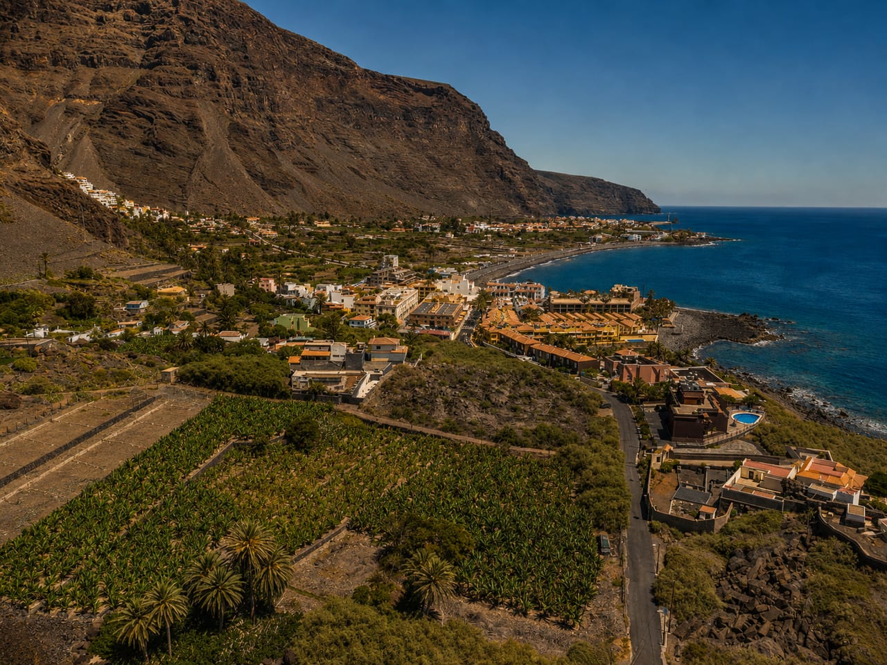
View of Valle Gran Rey, La Gomera
Santa Cruz de TenerifePending data

Valle Gran Rey

Valle Gran Rey is a municipality of La Gomera, presented through settlement, landscape, local memory and its links with the rest of the island.

Population: Pending data · Area: Pending data

View municipality
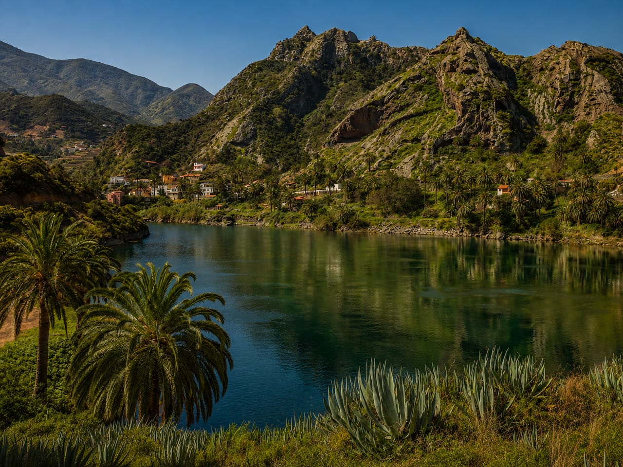
View of Vallehermoso, La Gomera
Santa Cruz de TenerifePending data

Vallehermoso

Vallehermoso is a municipality of La Gomera, presented through settlement, landscape, local memory and its links with the rest of the island.

Population: Pending data · Area: Pending data

View municipality