

Municipalities and territories of Fuerteventura
Municipal map, territorial organisation and key places of Fuerteventura.
This page reads Fuerteventura through its municipalities, main settlements, landscapes, heritage places and special territories.
Use the map and the place cards to connect municipal boundaries with concrete landmarks, coastal areas, uplands and local memory across Fuerteventura.
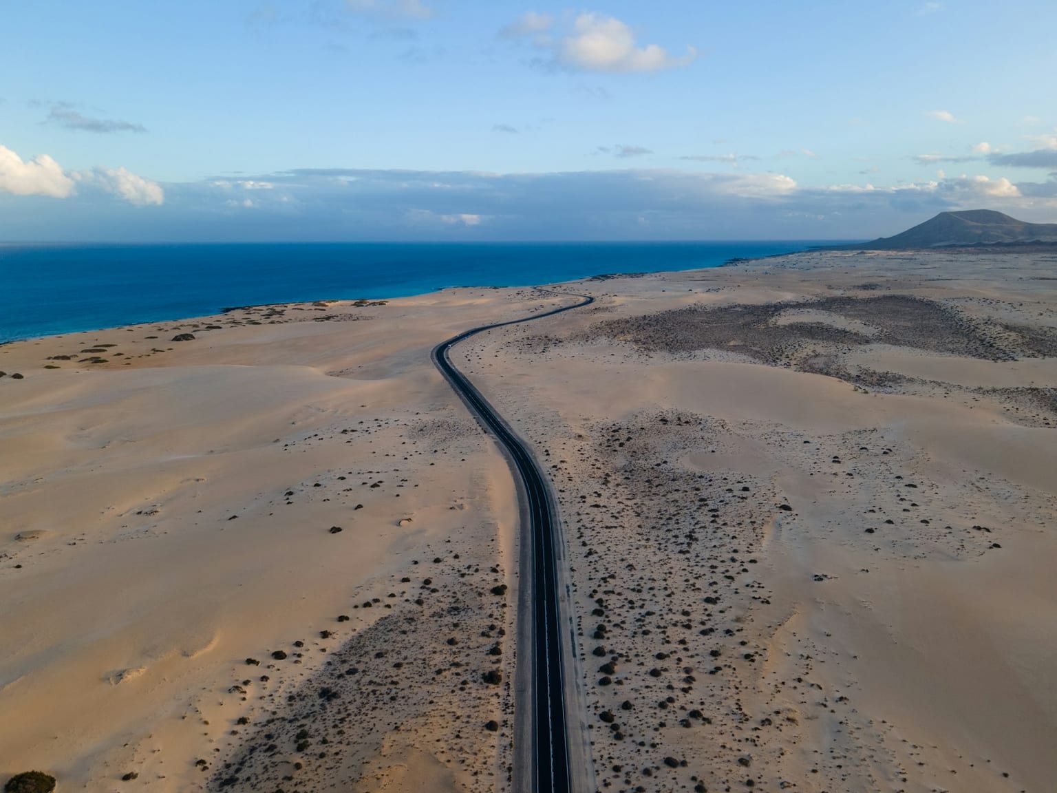
Municipal map
Municipal boundaries and main places of Fuerteventura.
Municipalities of Fuerteventura
Alphabetical order. Statistical data subject to ISTAC/INE validation.
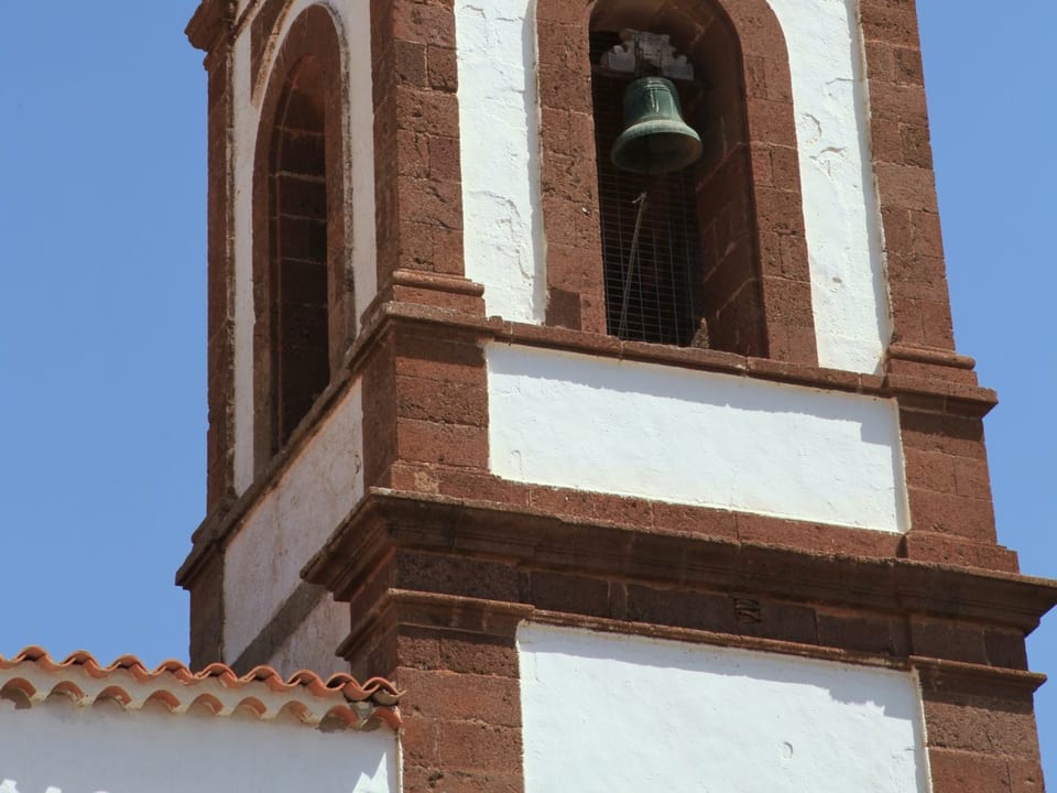
Antigua
Antigua is a municipality of Fuerteventura, presented through settlement, landscape, local memory and its links with the rest of the island.
Population: Pending data · Area: Pending data
View municipality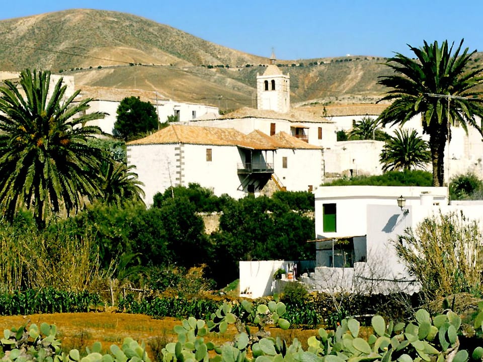
Betancuria
Betancuria is a municipality of Fuerteventura, presented through settlement, landscape, local memory and its links with the rest of the island.
Population: Pending data · Area: Pending data
View municipality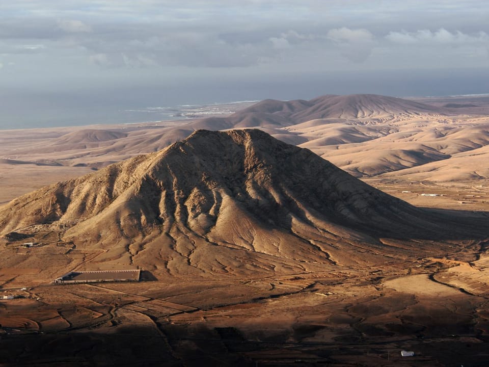
La Oliva
La Oliva is a municipality of Fuerteventura, presented through settlement, landscape, local memory and its links with the rest of the island.
Population: Pending data · Area: Pending data
View municipality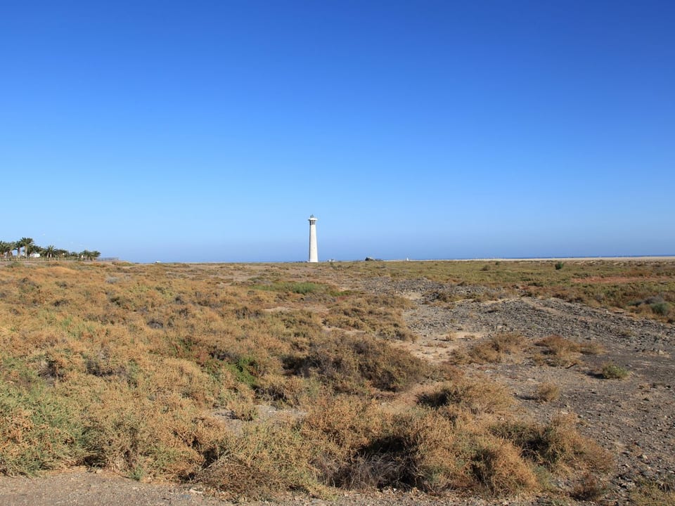
Pájara
Pájara is a municipality of Fuerteventura, presented through settlement, landscape, local memory and its links with the rest of the island.
Population: Pending data · Area: Pending data
View municipality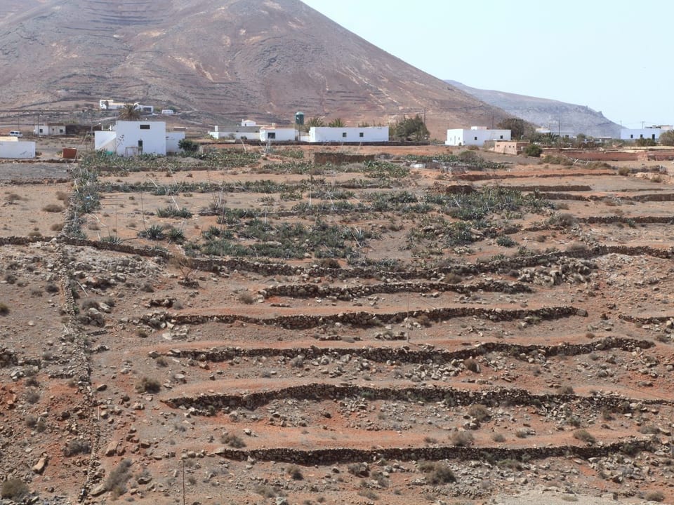
Puerto del Rosario
Puerto del Rosario is a municipality of Fuerteventura, presented through settlement, landscape, local memory and its links with the rest of the island.
Population: Pending data · Area: Pending data
View municipality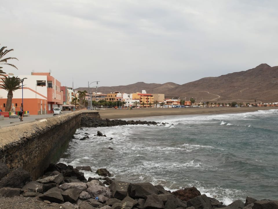
Tuineje
Tuineje is a municipality of Fuerteventura, presented through settlement, landscape, local memory and its links with the rest of the island.
Population: Pending data · Area: Pending data
View municipality