Why this island matters
Fuerteventura ayuda a comprender las Canarias orientales desde la amplitud, el viento y la cultura pastoril. Su historia esta ligada a la conquista senorial, a la ganaderia caprina, a los poblamientos interiores y a una costa que ha sido recurso, frontera y espacio de intercambio.
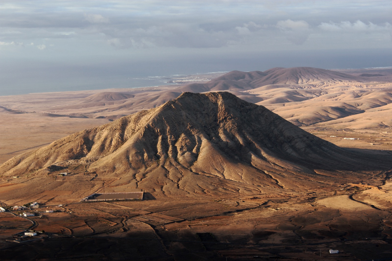
La isla no debe leerse solo por sus playas. Betancuria, Tindaya, los molinos, los paisajes semideserticos y la memoria majorera explican una forma de vida construida sobre escasez de agua, movilidad y adaptacion a un territorio abierto.
Cultural landscape
Today Fuerteventura preserves a strong rural identity even amid tourism expansion. Windmills, cheese dairies, chapels and semi-desert landscapes explain a culture marked by water scarcity, adaptation to the wind and a long tradition of exchange between the interior and the coast.
Municipalities and territories
See all 6 municipalities of Fuerteventura →- AntiguaAntigua is a municipality of Fuerteventura, presented through settlement, landscape, local memory and its links with the rest of the island.
- BetancuriaBetancuria is a municipality of Fuerteventura, presented through settlement, landscape, local memory and its links with the rest of the island.
- La OlivaLa Oliva is a municipality of Fuerteventura, presented through settlement, landscape, local memory and its links with the rest of the island.
- PájaraPájara is a municipality of Fuerteventura, presented through settlement, landscape, local memory and its links with the rest of the island.
- Puerto del RosarioPuerto del Rosario is a municipality of Fuerteventura, presented through settlement, landscape, local memory and its links with the rest of the island.
- TuinejeTuineje is a municipality of Fuerteventura, presented through settlement, landscape, local memory and its links with the rest of the island.
Explore the island
Themes to understand Fuerteventura
Each block summarises a line of interpretation and links to its own page. The main island page works as an entry point; the sections expand geography, history, nature, heritage and social life without turning this hub into a single long article.
Geography
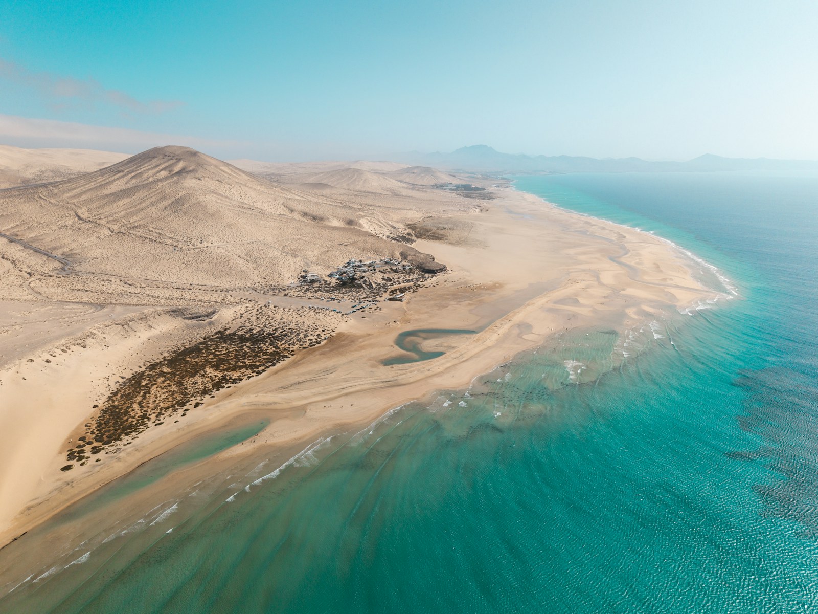
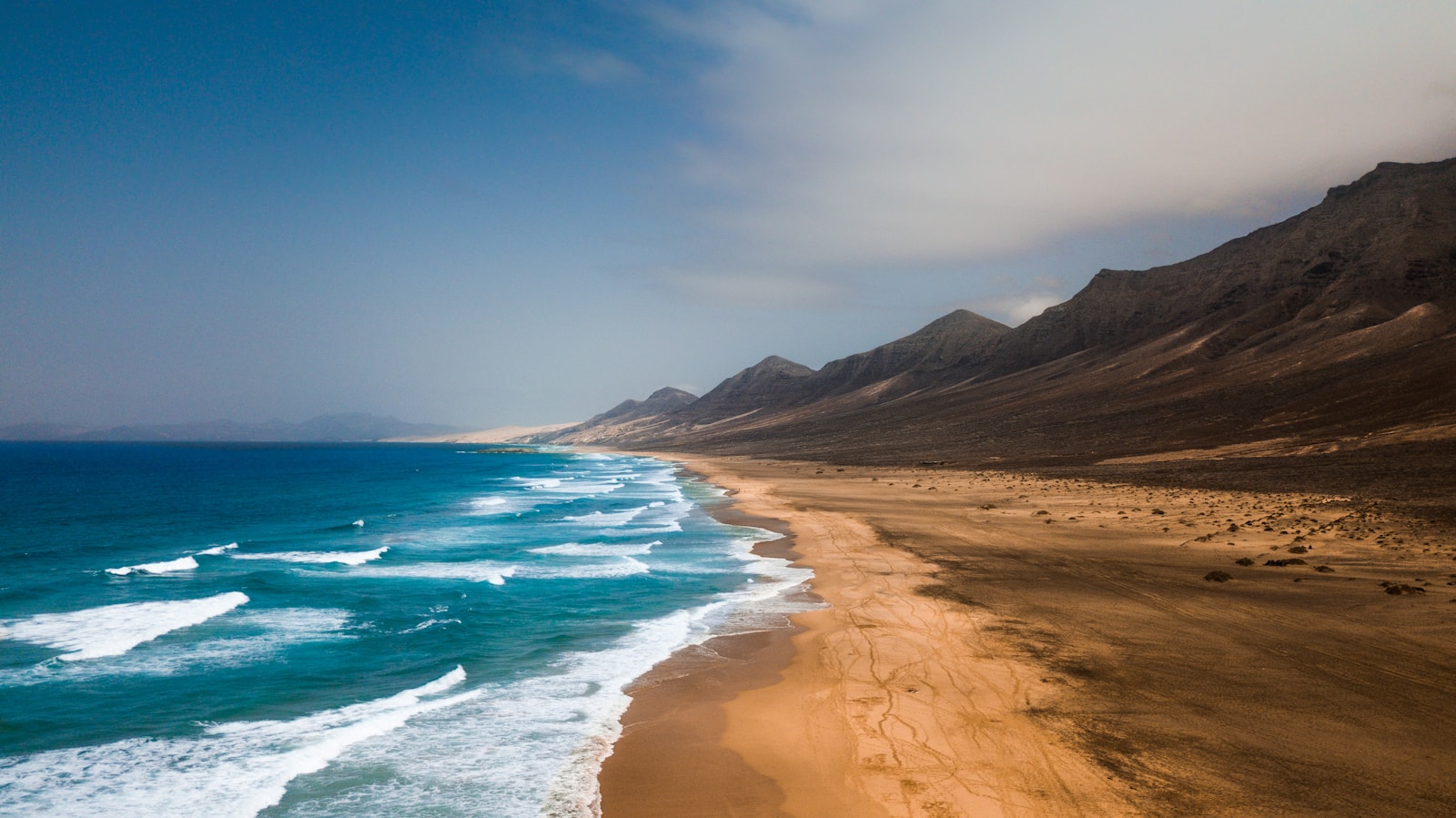
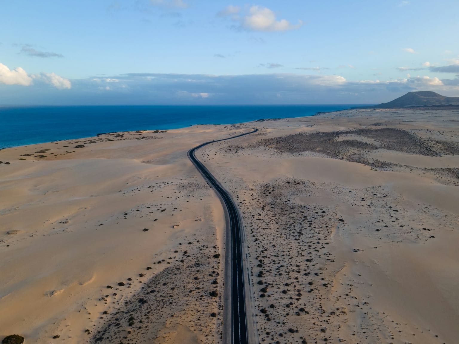
Fuerteventura is the oldest and most arid island of the archipelago: at Ajuy the oldest materials in the Canaries come to the surface, the Betancuria massif preserves the plutonic roots of the island edifice, and the Jandía peninsula, joined by the isthmus of La Pared, culminates in Pico de la Zarza. Central plains, cuchillos, jables, the Corralejo dunes, the islet of Lobos, gavias and dry dams and the constant wind complete a steppe landscape of scattered settlement around Puerto del Rosario and historic Betancuria.
Explore sectionHistory
Fuerteventura condenses centuries of island history: the Majo world, Bethencourt's seigneurial conquest, Maghrebi pirate raids, 18th-century subsistence crises, the barrilla and cochineal trade cycles, and its recent transformation into an Atlantic tourist destination.
Explore sectionNature
The island preserves arid landscapes, dune fields, open coastlines and areas of great importance for birdlife and coastal ecosystems.
Explore sectionFlora
The vegetation of Fuerteventura is shaped by drought, salinity and grazing, with tabaiba (spurge) scrub, xerophilous shrubland and the flora of the jable (sandy plains).
Explore sectionFauna
Steppe birds, reptiles, marine wildlife and species adapted to arid environments are central to the island's natural identity.
Explore sectionHeritage
Betancuria, Tindaya, chapels, windmills, salt pans and rural architecture tell the story of a scattered yet powerful historical memory.
Explore sectionCulture and Traditions
Majorero culture finds expression in livestock farming, cheese, festivals, crafts, Canarian wrestling, music and the memory of the old paths.
Explore sectionEconomy and Society
Fuerteventura's economic history is written with goats, grain and thirst. From Maho herding, with its gambuesas and apañadas, the island moved into a seigneurial regime that made it, together with Lanzarote, the "granary of the Canaries" thanks to the gavias, while orchil, barilla and lime fed exports. The fragility of that balance brought recurrent famines and constant emigration to other islands and to America, under the concentrated power of the militia colonels of La Oliva. Fishing on the Saharan bank, salting and cheese completed subsistence until, from the 1960s onwards, Corralejo and Jandía opened a late tourist take-off that reversed centuries of depopulation in only a few decades.
Explore sectionMunicipalities and Territories
The north, the historic centre, the east coast, the Jandia peninsula and the inland villages show very different uses of the land.
Explore sectionKey Places
Betancuria, Tindaya, Corralejo, Jandia, Ajuy and the salt pans are places to read the island's history, nature and symbolism.
Explore sectionLinked Figures
Majo kings, conquering lords and cultural figures link the island to the wider processes of the archipelago.
Explore sectionIsland Chronology
La cronologia majorera permite seguir conquista, organizacion senorial, ruralidad, emigracion y turismo.
Explore section