
Mirador de La Peña
Viewpoint designed by César Manrique over El Golfo, key to reading the great natural amphitheatre of the northwest.
Municipal map, territorial organisation and key places of El Hierro.
This page reads El Hierro through its municipalities, main settlements, landscapes, heritage places and special territories.
Use the map and the place cards to connect municipal boundaries with concrete landmarks, coastal areas, uplands and local memory across El Hierro.
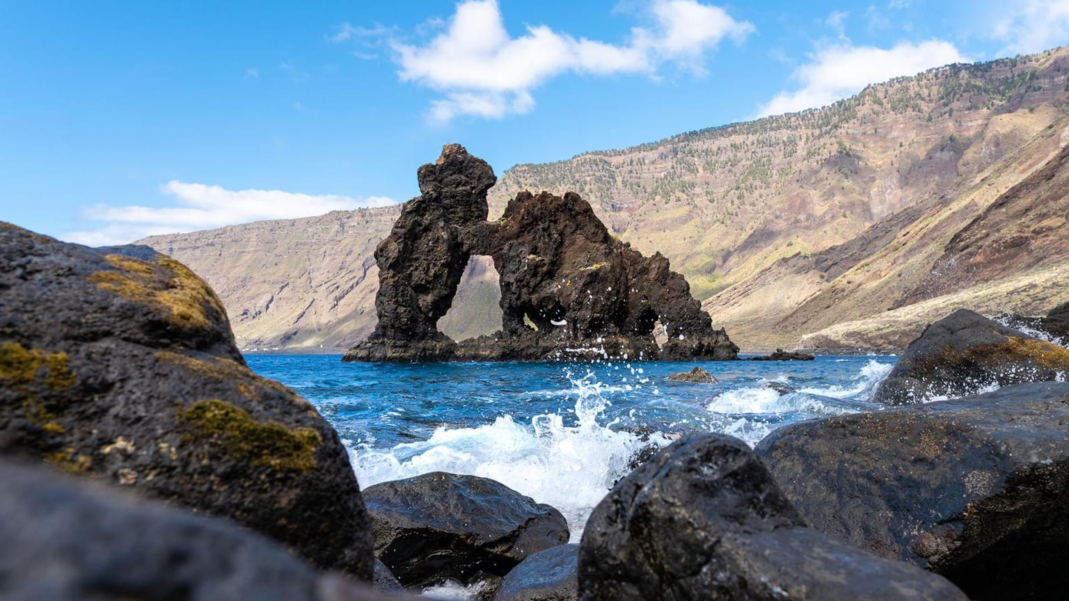
Municipal boundaries and main places of El Hierro.
Concrete places for reading landscape, heritage, coast, uplands and local memory without repeating the municipal list.
Viewpoint designed by César Manrique over El Golfo, key to reading the great natural amphitheatre of the northwest.
Landscape of junipers shaped by the wind, a vegetal and territorial symbol of western El Hierro.
Historic western end of the archipelago, associated with the reference meridian before Greenwich.
Fishing port and southern marine area, a reference for diving and for recent submarine volcanic memory.
Natural pool on the El Golfo coast, an example of contact between lava, sea and local recreational use.
Sacred tree of Bimbache tradition, associated with water capture and the Indigenous memory of El Hierro.
Coastal settlement with stone houses and vegetal roofs, representative of seasonal settlement on the El Hierro coast.
Cove and bathing area in the northeast, linked to everyday use of the coast near Valverde.
Forest and ravine area in El Golfo, relevant for understanding humidity, monteverde and biodiversity on El Hierro.
Monteverde trail in the highlands of El Hierro, with fayal-brezal, mist and a reading of the island forest.
Large southeastern coastal arc, formed by steep slopes and the visual reference of Roque de la Bonanza.
Natural pools on the El Golfo coast, part of everyday and recreational use of the El Hierro shoreline.
Bathing area in southern El Hierro, linked to the recent volcanic landscape and the Mar de Las Calmas.
Alphabetical order. Statistical data subject to ISTAC/INE validation.
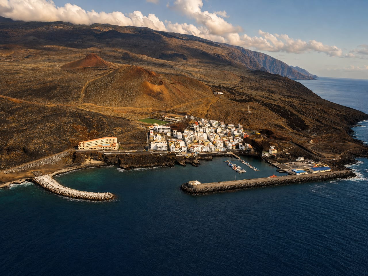
El Pinar de El Hierro is a municipality of El Hierro, presented through settlement, landscape, local memory and its links with the rest of the island.
Population: Pending data · Area: Pending data
View municipality
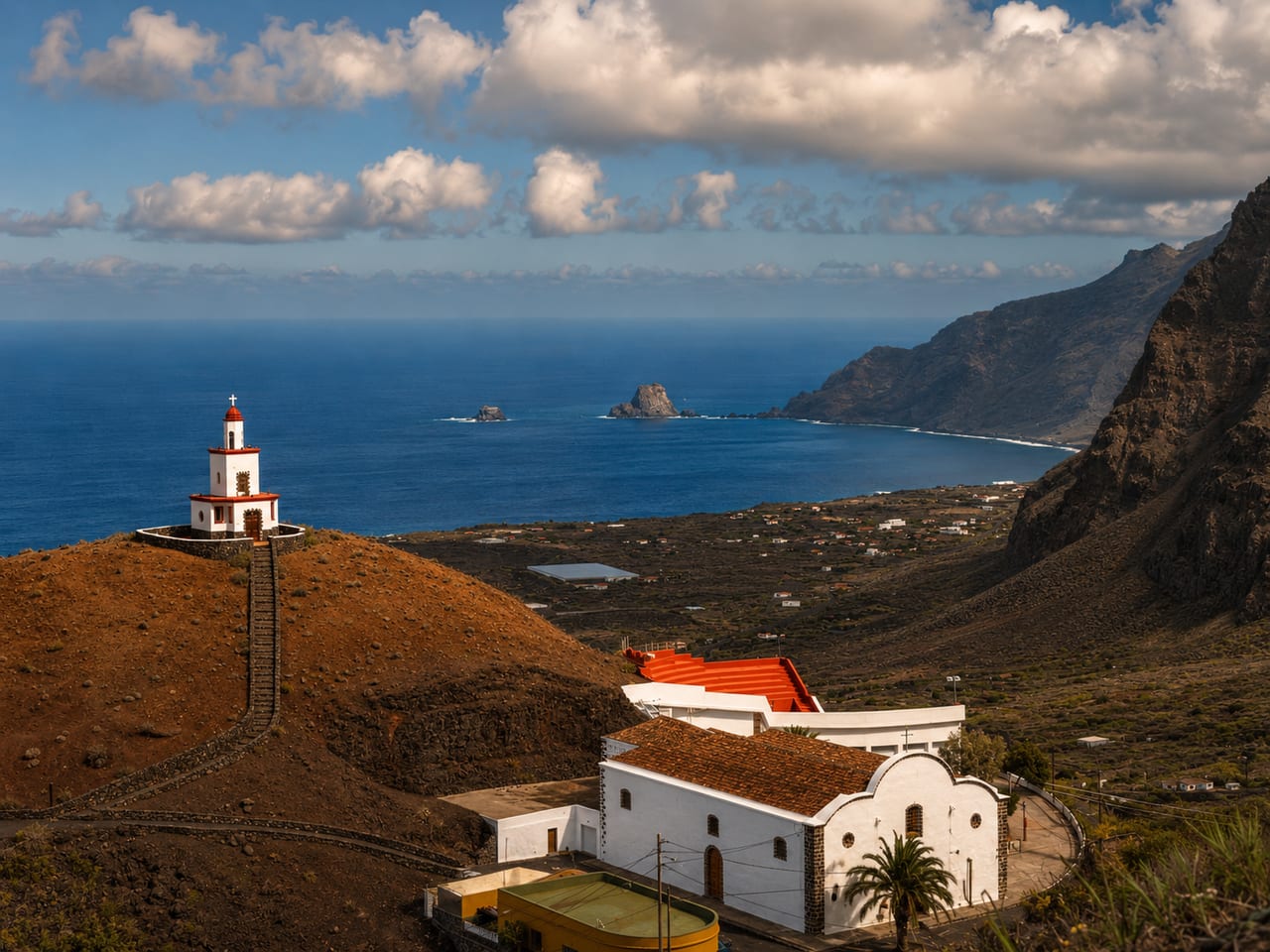
Frontera is a municipality of El Hierro, presented through settlement, landscape, local memory and its links with the rest of the island.
Population: Pending data · Area: Pending data
View municipality
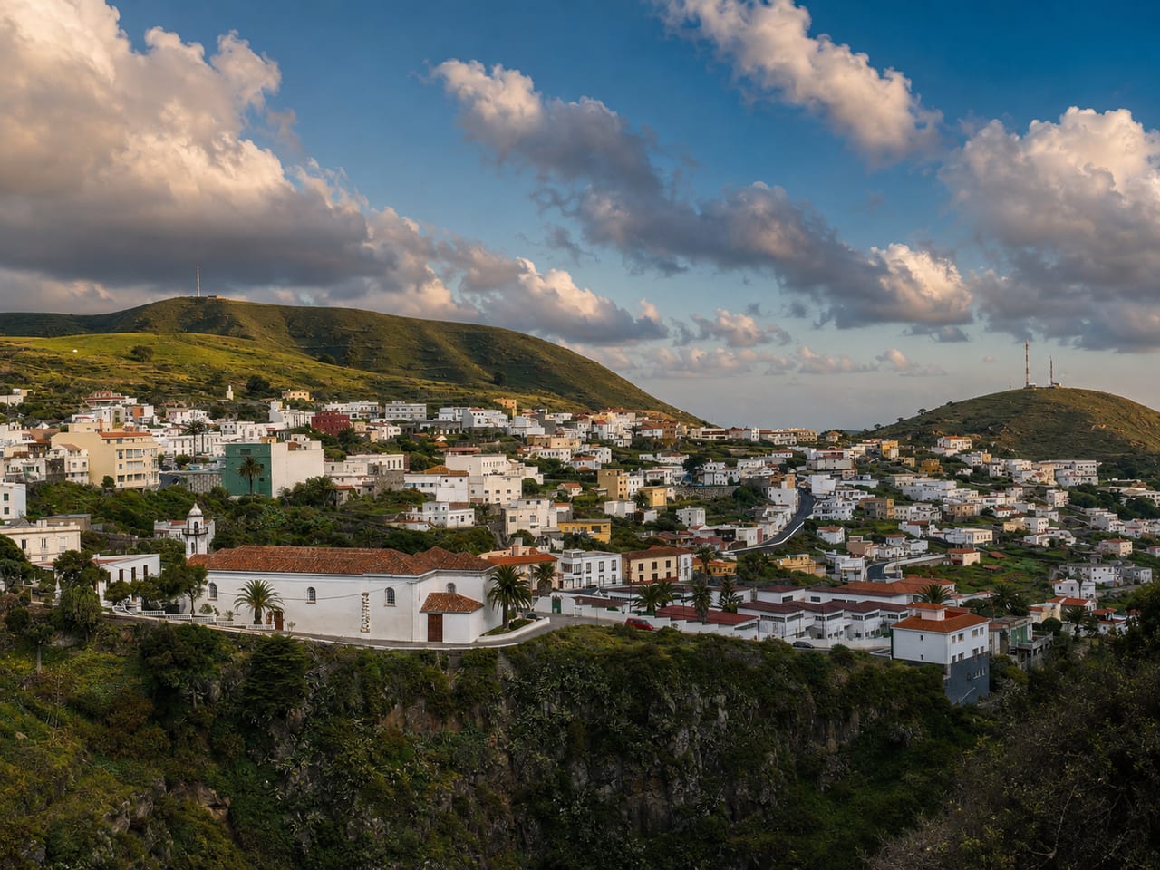
Valverde is a municipality of El Hierro, presented through settlement, landscape, local memory and its links with the rest of the island.
Population: Pending data · Area: Pending data
View municipality