Why this island matters
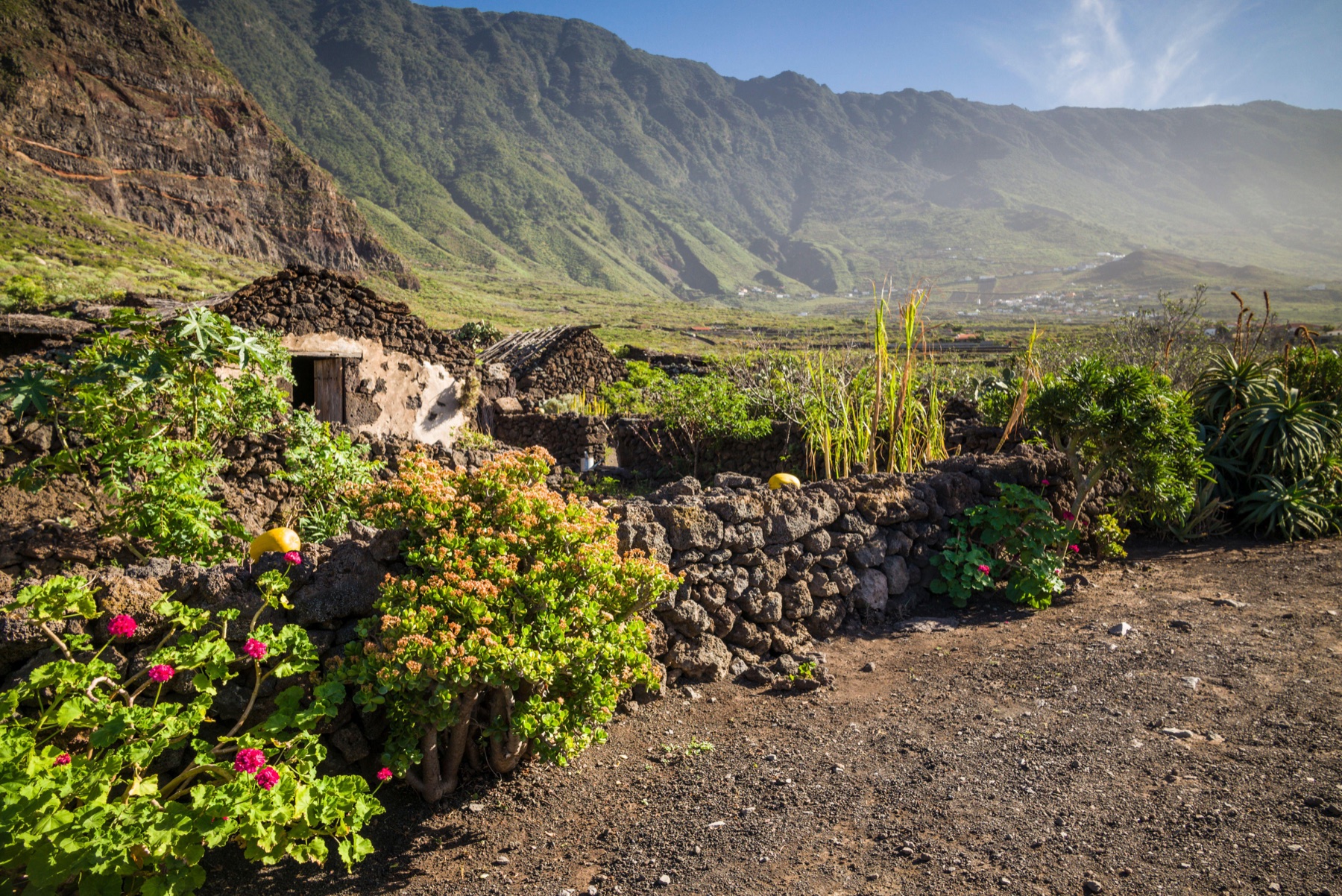
The island became part of Norman seigneurial expansion early on and later entered the broader dynamics of the archipelago while keeping a small demographic scale. Its relative isolation shaped its own rhythms of settlement, economy and mobility until very recent times.
Today El Hierro is presented as a reference in sustainability thanks to pioneering energy initiatives, yet this contemporary discourse connects with a historical tradition of adaptation and self-sufficiency. Its volcanic landscapes, viewpoints and marine environments complete a very singular insular image.
Cultural landscape
Today El Hierro is presented as a reference in sustainability thanks to pioneering energy initiatives, yet this contemporary discourse connects with a historical tradition of adaptation and self-sufficiency. Its volcanic landscapes, viewpoints and marine environments complete a very singular insular image.
Municipalities and territories
See all 3 municipalities of El Hierro →- El Pinar de El HierroEl Pinar de El Hierro is a municipality of El Hierro, presented through settlement, landscape, local memory and its links with the rest of the island.
- FronteraFrontera is a municipality of El Hierro, presented through settlement, landscape, local memory and its links with the rest of the island.
- ValverdeValverde is a municipality of El Hierro, presented through settlement, landscape, local memory and its links with the rest of the island.
Explore the island
Themes to understand El Hierro
Each block summarizes a line of interpretation and links to its own page. The main island page works as an entry point; the sections expand geography, history, nature, heritage and social life without turning this hub into a single long article.
Geography
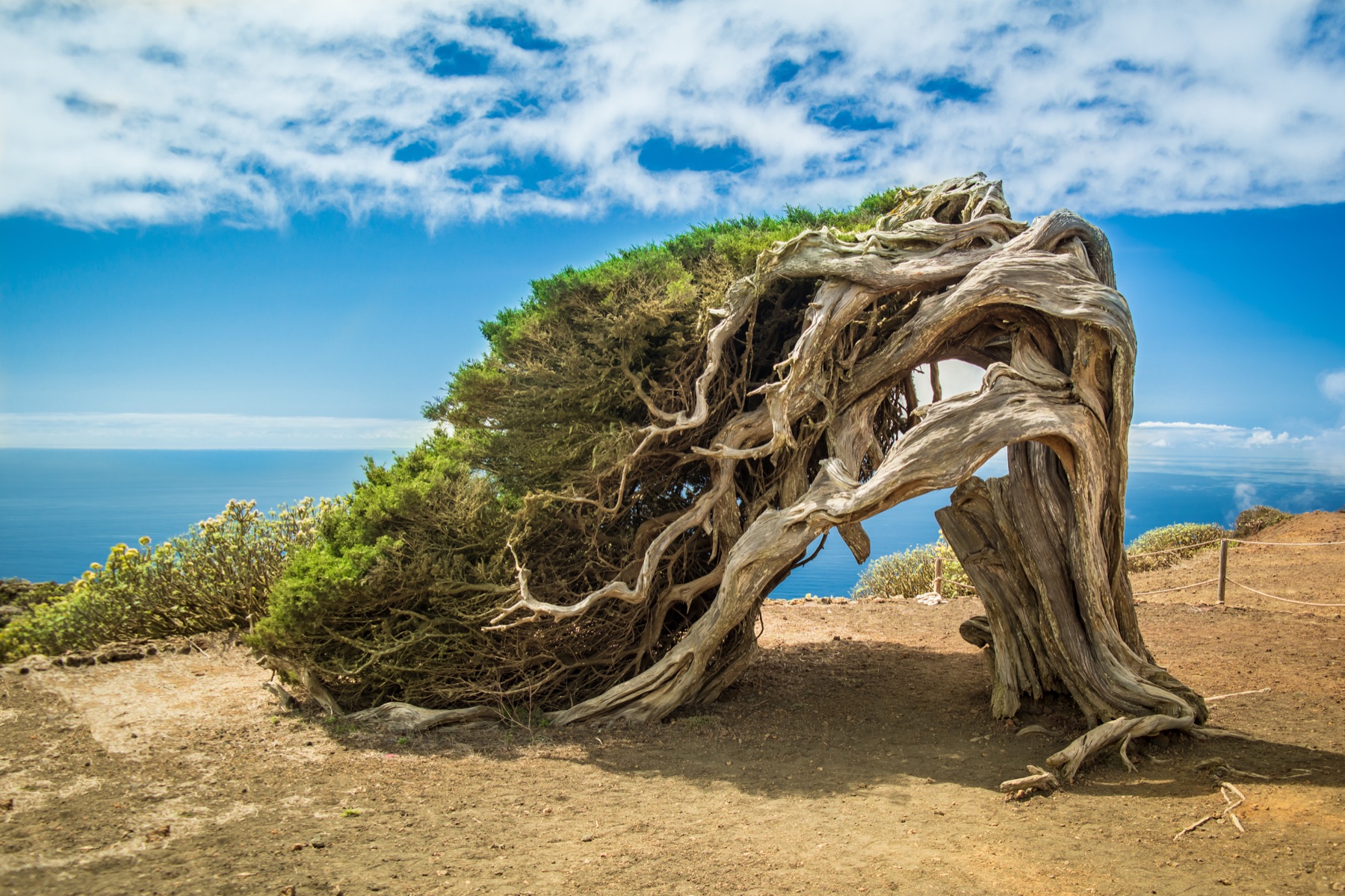
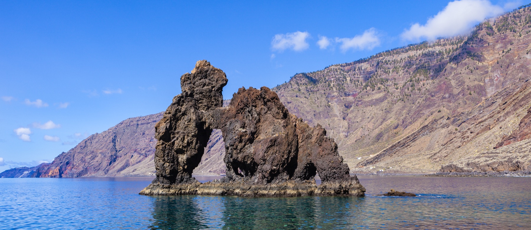
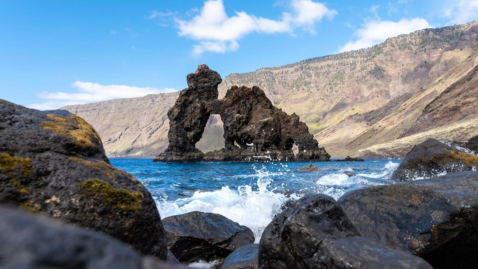
El Hierro is read through its relief, its coastline and the contrast between interior and coast. A compact, rugged island where volcanic cliffs face the ocean with a future-oriented outlook.
Explore sectionHistory
The island became part of Norman seigneurial expansion early on and later entered the broader dynamics of the archipelago while keeping a small demographic scale. Its relative isolation shaped its own rhythms of settlement, economy and mobility until very recent times.
Explore sectionNature
El Hierro's natural identity brings together landscape, biodiversity and ways of inhabiting a fragile island territory.
Explore sectionFlora
The flora of El Hierro reflects altitude, exposure, humidity and long adaptation to volcanic soils and island isolation.
Explore sectionFauna
The fauna of El Hierro is best understood through its habitats: coast, ravines, summits, cultivated areas and marine environments.
Explore sectionHeritage
Today El Hierro is presented as a reference in sustainability thanks to pioneering energy initiatives, yet this contemporary discourse connects with a historical tradition of adaptation and self-sufficiency. Its volcanic landscapes, viewpoints and marine environments complete a very singular insular image.
Explore sectionCulture and Traditions
Living culture in El Hierro connects festivities, oral memory, food, trades and community practices shaped by the island's geography.
Explore sectionEconomy and Society
El Hierro's society has been shaped by production, mobility, ports, migration and the changing value of its landscapes.
Explore sectionMunicipalities and Territories
The internal geography of El Hierro explains the contrast between capital, towns, coast, midlands and summit areas.
Explore sectionKey Places
Key places in El Hierro work as entry points into its natural, historical and symbolic meanings.
Explore sectionLinked Figures
The figures linked with El Hierro help turn broad historical processes into concrete biographies and local memory.
Explore sectionIsland Chronology
The chronology of El Hierro connects Indigenous history, conquest, economic change, cultural life and recent transformations.
Explore section