Territory
This route connects the growth of cities and ports with island geography, administration, trade and territorial tensions that shaped the archipelago.
The urban formation of the Canaries through ports, island capitals, water and double insularity.
This route connects the growth of cities and ports with island geography, administration, trade and territorial tensions that shaped the archipelago.
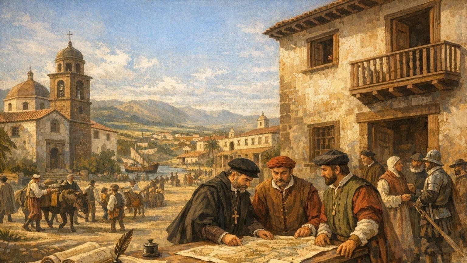
San Cristóbal de La Laguna was an open, planned Atlantic city that anticipated decisive features of Spanish-American colonial urbanism.
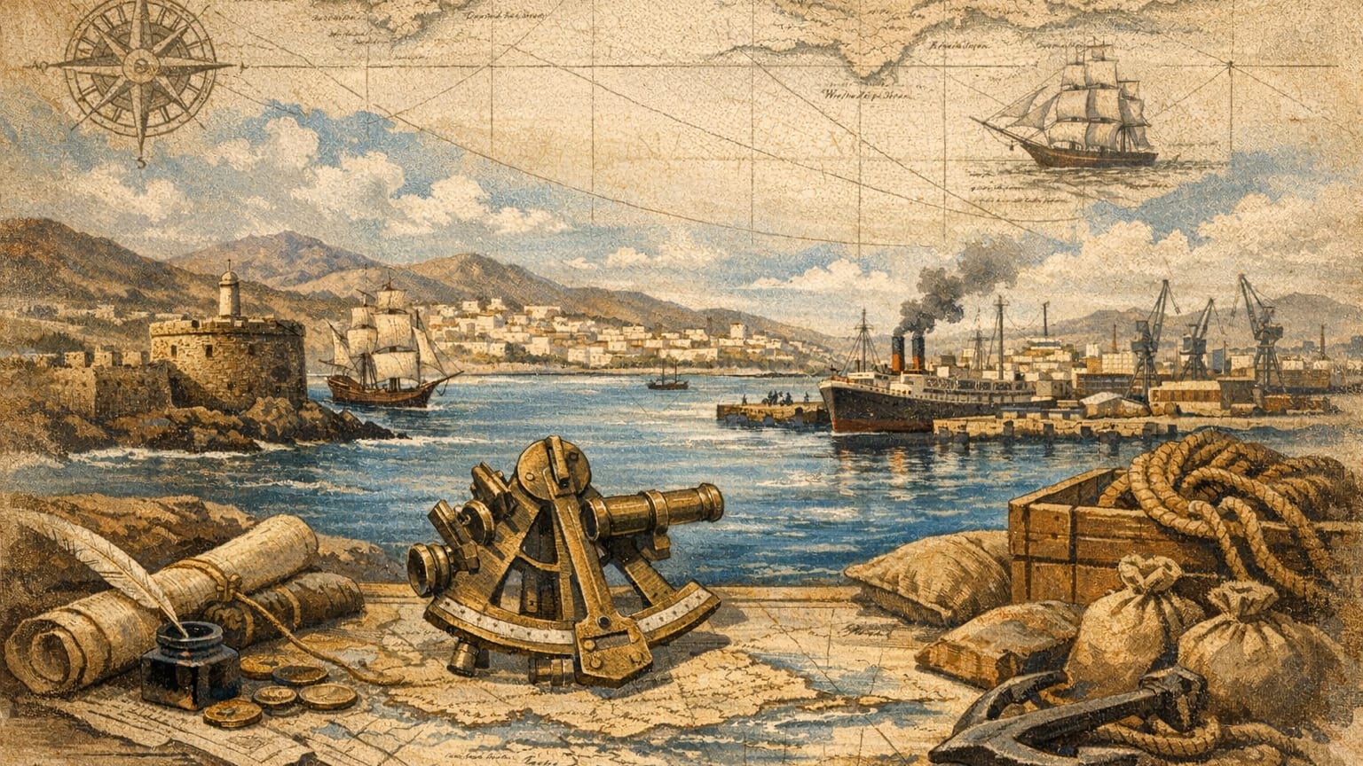
The Port of La Luz has played a pivotal role in the modernization and economic, social, and cultural development of Las Palmas de Gran Canaria since the 19th century.
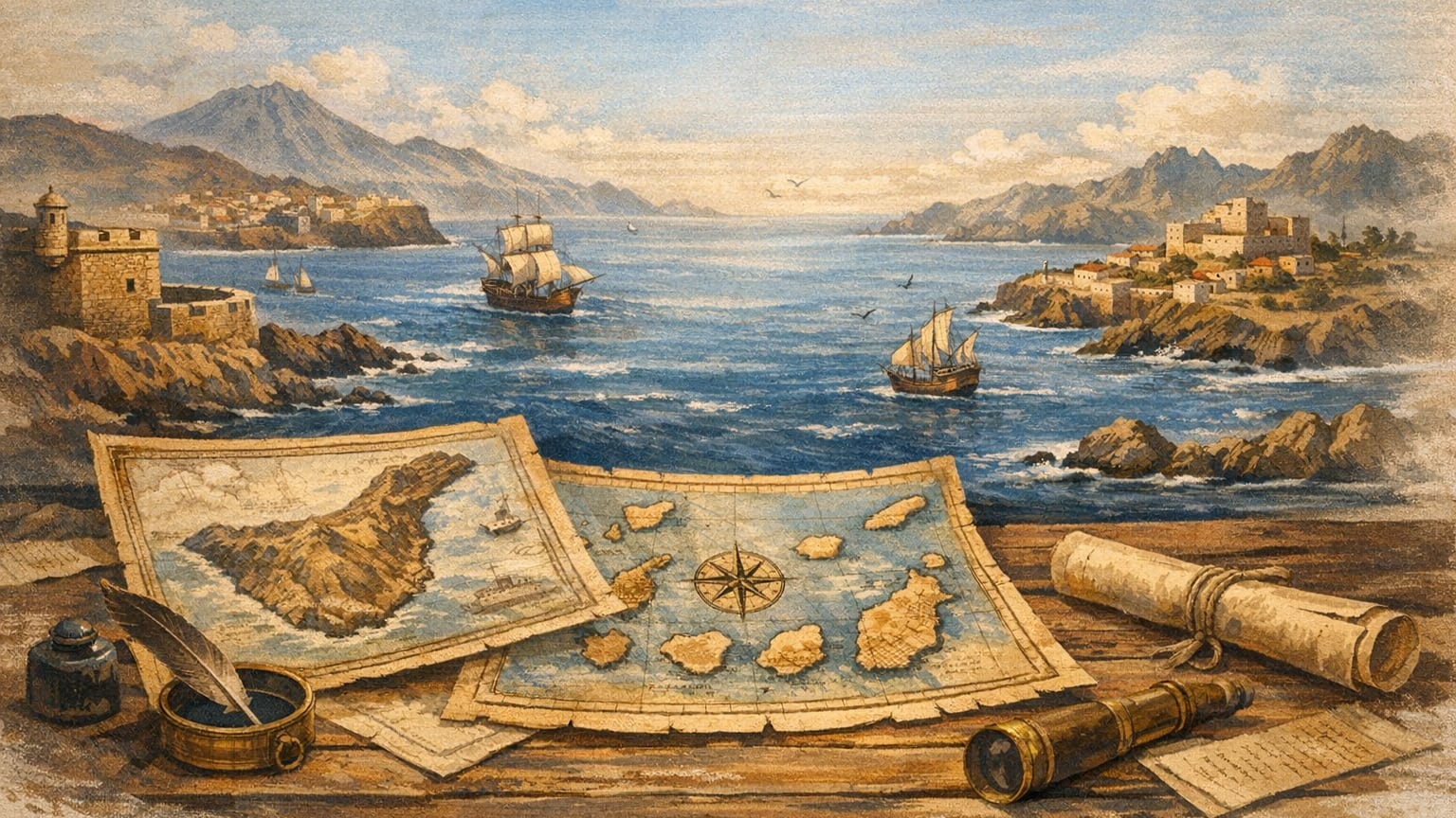
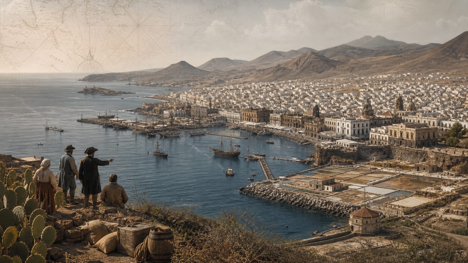
The fractured geography of the Canary Islands deeply influenced the development and isolation of its cities during the Early Modern period.
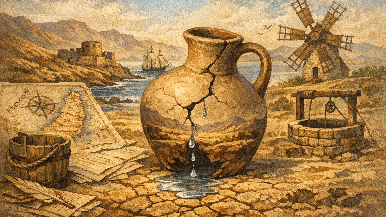
Fuerteventura's history is shaped by its chronic water scarcity, a challenge that has defined its people and landscape. Learn how the islanders and their council fought to secure every precious drop.