
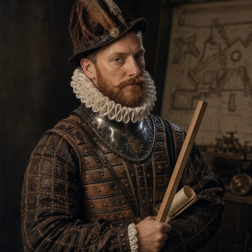
Leonardo Torriani
ConquistaScience16th CenturyCartographer of the defences

Military engineer and cartographer

An Italian engineer in the service of Philip II, he surveyed the archipelago's fortifications and left essential maps, drawings and descriptions of sixteenth-century Canaries.

Historical role

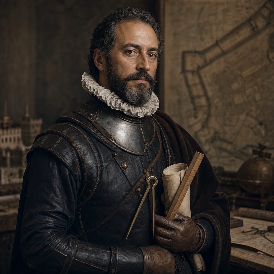
Leonardo Torriani brought together military engineering, territorial observation and graphic representation. His work in the Canaries was practical, assessing walls, ports and vulnerable points, but it was also documentary: his maps, plans and descriptions are now an exceptional window onto the urban, defensive and human landscape of the late sixteenth-century archipelago.

Timeline

  1. 1559Leonardo Torriani is born.
  2. 1584He was sent to the Canaries to inspect defences and propose improvements to island fortifications.
  3. 1590sHe produced descriptions, drawings and maps that became a key documentary source on the archipelago.
  4. 1628Leonardo Torriani dies.

Sources and verification