Why this island matters
Gran Canaria es una de las claves para comprender la formacion historica de Canarias. Su diversidad de paisajes favorecio sociedades prehispanicas complejas y, tras la conquista, la isla se convirtio en un eje administrativo, eclesiastico y comercial del nuevo orden atlantico.
La capitalidad de Las Palmas, la memoria de los antiguos canarios, los barrancos interiores, la cumbre y el sur seco hacen de la isla un laboratorio de contrastes. En ella se cruzan ciudad, patrimonio arqueologico, agricultura de medianias, puerto, turismo y debates contemporaneos sobre territorio e identidad.
Cultural landscape
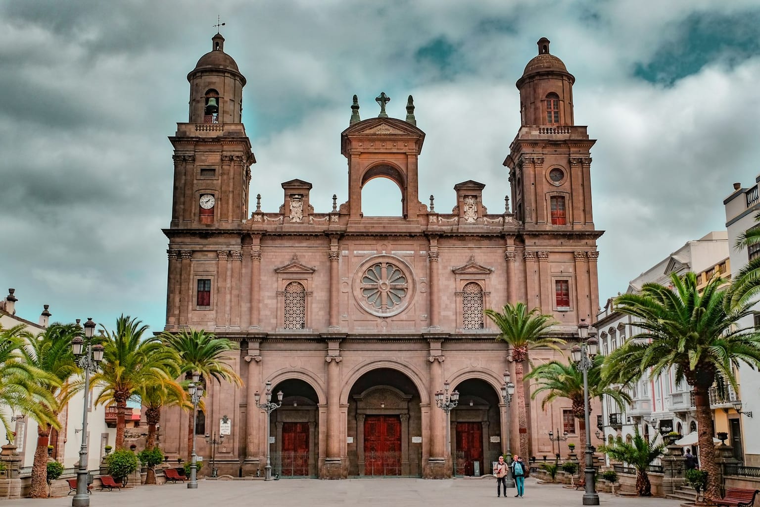
Today Gran Canaria combines historic centres, midlands cultural landscapes and a strong urban profile. The city of Las Palmas concentrates port, military and commercial memory, while the interior preserves agricultural forms, vernacular architecture and aboriginal ceremonial spaces that help read the island as a living archive of the archipelago.
Municipalities and territories
See all 21 municipalities of Gran Canaria →- AgaeteAgaete is a municipality of Gran Canaria, presented through settlement, landscape, local memory and its links with the rest of the island.
- AgüimesAgüimes is a municipality of Gran Canaria, presented through settlement, landscape, local memory and its links with the rest of the island.
- ArtenaraArtenara is a municipality of Gran Canaria, presented through settlement, landscape, local memory and its links with the rest of the island.
- ArucasArucas is a municipality of Gran Canaria, presented through settlement, landscape, local memory and its links with the rest of the island.
- FirgasFirgas is a municipality of Gran Canaria, presented through settlement, landscape, local memory and its links with the rest of the island.
- GáldarGáldar is a municipality of Gran Canaria, presented through settlement, landscape, local memory and its links with the rest of the island.
- IngenioIngenio is a municipality of Gran Canaria, presented through settlement, landscape, local memory and its links with the rest of the island.
- La Aldea de San NicolásLa Aldea de San Nicolás is a municipality of Gran Canaria, presented through settlement, landscape, local memory and its links with the rest of the island.
Explore the island
Themes to understand Gran Canaria
Each block summarises a line of interpretation and links to its own page. The main island page works as an entry point; the sections expand geography, history, nature, heritage and social life without turning this hub into a single long article.
Geography
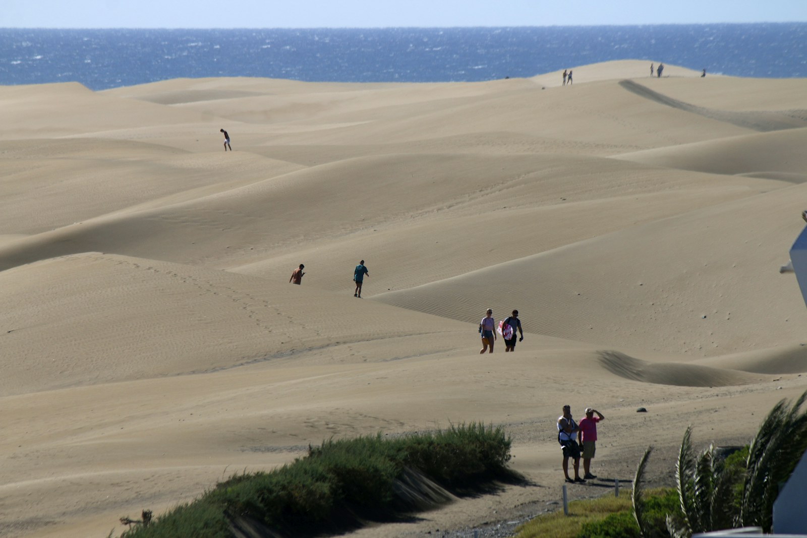
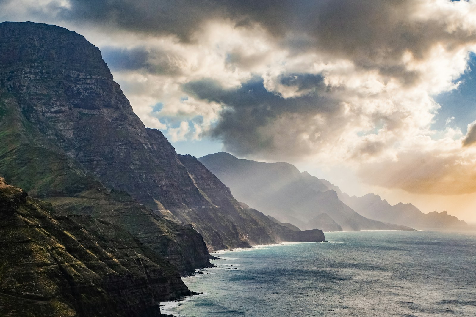
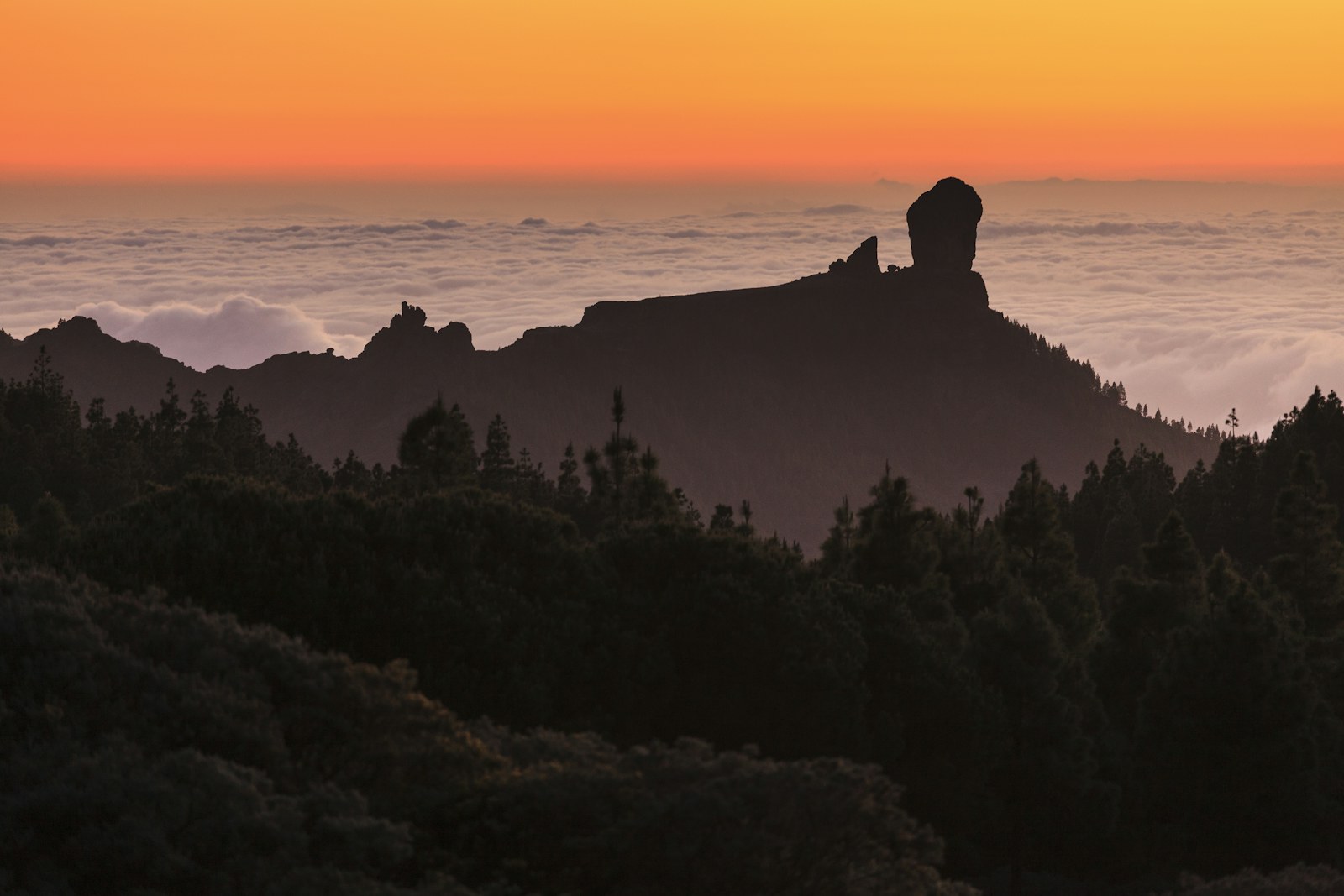
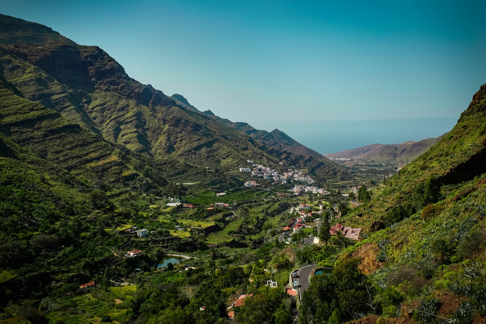
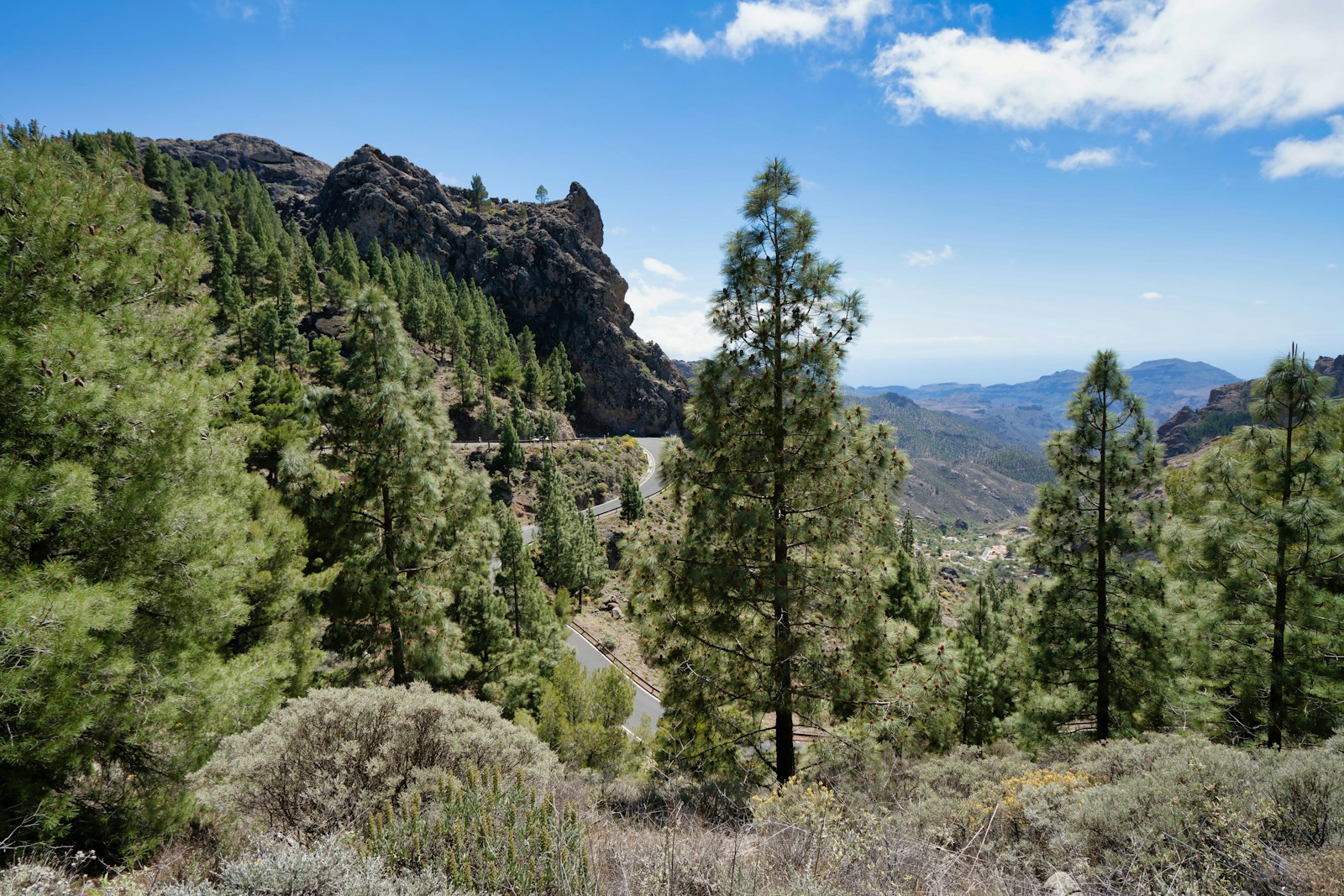
Gran Canaria, the 'miniature continent', arranges its territory in circles: a summit culminating in Pico de las Nieves, radial ravines such as Guiniguada, Tirajana, Fataga and Tejeda, a humid north of laurel forest and farmland facing an arid south, and a coastline where the Atlantic capital coexists with the Maspalomas dunes.
Explore sectionHistory
Gran Canaria's history spans the world of the guanartemes of Gáldar and Telde and the Cueva Pintada, the Castilian conquest of 1478-1483 with the Real de Las Palmas, Doramas and Fernando Guanarteme, the sugar mills, the feat against Van der Does in 1599, the cochineal trade, the Puerto de La Luz of 1883 and the tourism that today accompanies the archipelago's shared capital status.
Explore sectionNature
Gran Canaria brings together pine forests, crags, dunes, ravines, coastal habitats and protected areas that sum up a remarkable ecological diversity.
Explore sectionFlora
The flora reflects the island's range of vegetation belts: cardonal-tabaibal scrub, palm groves, pine forests, remnants of laurel forest and vegetation adapted to dry ravines.
Explore sectionFauna
Birds, reptiles, invertebrates and marine life reveal the biological singularity of an island that has been heavily transformed yet remains diverse.
Explore sectionHeritage
Caves, granaries, historic town centres, churches, fortifications and cultural landscapes connect the pre-Hispanic world with the colonial era.
Explore sectionCulture and Traditions
The culture of Gran Canaria blends rural memory, popular festivals, city life, music, crafts and a cuisine rooted in both the midlands and the coast.
Explore sectionEconomy and Society
Gran Canaria's economy has been written in cycles: the sugar cane of the first mills, wine and cochineal grain, ruined by artificial dyes; then bananas and tomatoes for export, the Free Ports law of 1852 and the Puerto de La Luz, whose works began in 1883 and turned the bay of Las Isletas into an Atlantic coaling station. To that economic rhythm responded emigration to Cuba and Venezuela, the return of the indianos and, from the 1960s onwards, a tourism industry that reoriented the south of the island.
Explore sectionMunicipalities and Territories
The capital, the farming north, the summit area, the midlands and the tourist south form territories with distinct historical rhythms.
Explore sectionKey Places
Vegueta, Risco Caido, the summits, Maspalomas, Galdar and other landmarks provide a framework for reading the island's culture and nature.
Explore sectionLinked Figures
Guanartemes, writers, artists, politicians and social figures help to make sense of Gran Canaria's role in the region's history.
Explore sectionIsland Chronology
La cronologia insular permite seguir del mundo indigena al puerto atlantico, la ciudad moderna y la isla contemporanea.
Explore section