

Playa de Las Canteras
Reference urban beach in the capital, partly protected by the natural reef and key to reading the island's Atlantic frontage.
Municipal map, territorial organisation and key places of Gran Canaria.
This page reads Gran Canaria through its municipalities, main settlements, landscapes, heritage places and special territories.
Use the map and the place cards to connect municipal boundaries with concrete landmarks, coastal areas, uplands and local memory across Gran Canaria.
Municipal boundaries and main places of Gran Canaria.
Concrete places for reading landscape, heritage, coast, uplands and local memory without repeating the municipal list.
Reference urban beach in the capital, partly protected by the natural reef and key to reading the island's Atlantic frontage.
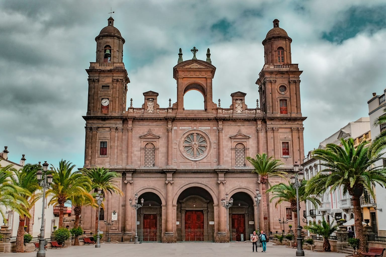
Foundational ensemble of Las Palmas de Gran Canaria, where religious architecture, civic power and early colonial memory are concentrated.
UNESCO-recognized summit cultural landscape, linked to caves, granaries, sanctuaries and long-standing pastoral uses.
Basalt monolith in the Gran Canaria summit area and one of the most recognizable visual landmarks of the island interior.
Archaeological site central to understanding the Indigenous settlement of Gran Canaria and ancient Agáldar.
Coastal dune system in southern Gran Canaria, where landscape, tourism and environmental conservation intersect very visibly.
Ravine with natural, archaeological and ethnographic value, marked by caves, traditional settlement and thermophilous vegetation.
Large volcanic crater in the island northeast, a reference point for reading recent relief and the area's wine-growing landscape.
Northwestern forest massif connecting pine forest, cliffs, ravines and views over Agaete and the western coast.
Summit viewpoint for reading Gran Canaria's central relief and the visual relationship between rock formations, ravines and pine forests.
Natural balcony over the western cliffs, useful for understanding the abrupt scale of La Aldea's coast.
Viewpoint towards the Fataga ravine and the island south, where the arid landscape offers another reading of Gran Canaria's interior.
Modernist building and historic market in the capital, linked to the urban life of Puerto de La Luz and La Isleta.
Cultural institution and emblematic building in the historic centre of Las Palmas de Gran Canaria.
Coastal valley of Agaete with natural and historical value, related to the memory of Tenesor Semidán and the northwestern landscape.
Alphabetical order. Statistical data subject to ISTAC/INE validation.
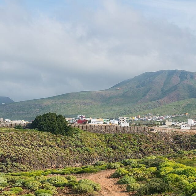
Agaete is a municipality of Gran Canaria, presented through settlement, landscape, local memory and its links with the rest of the island.
Population: Pending data · Area: Pending data
View municipality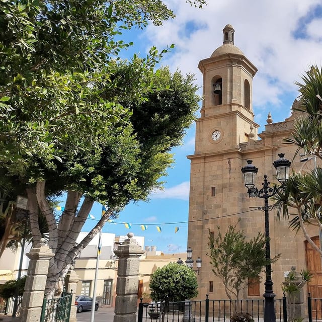
Agüimes is a municipality of Gran Canaria, presented through settlement, landscape, local memory and its links with the rest of the island.
Population: Pending data · Area: Pending data
View municipality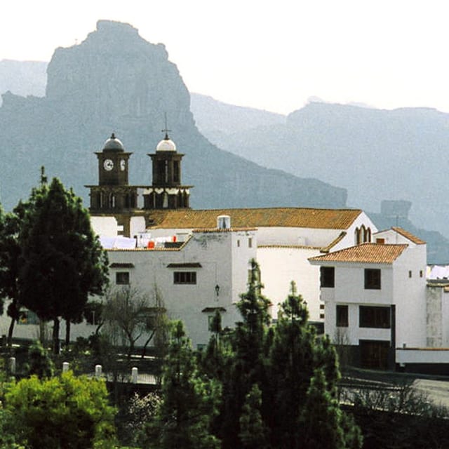
Artenara is a municipality of Gran Canaria, presented through settlement, landscape, local memory and its links with the rest of the island.
Population: Pending data · Area: Pending data
View municipality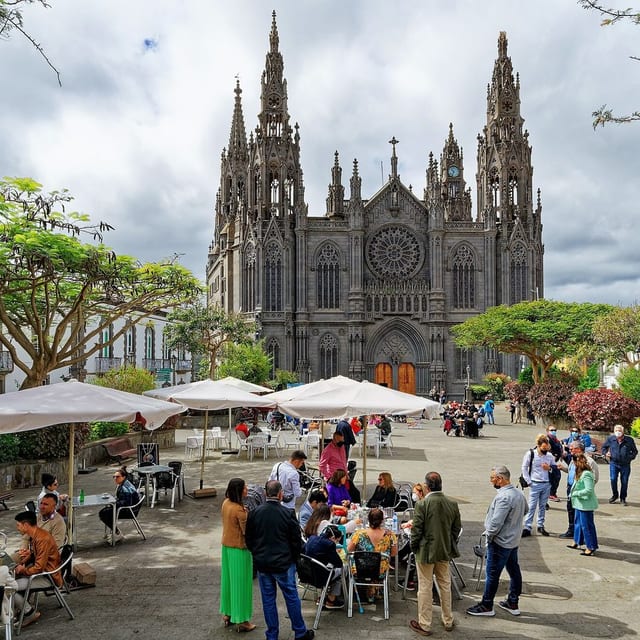
Arucas is a municipality of Gran Canaria, presented through settlement, landscape, local memory and its links with the rest of the island.
Population: Pending data · Area: Pending data
View municipality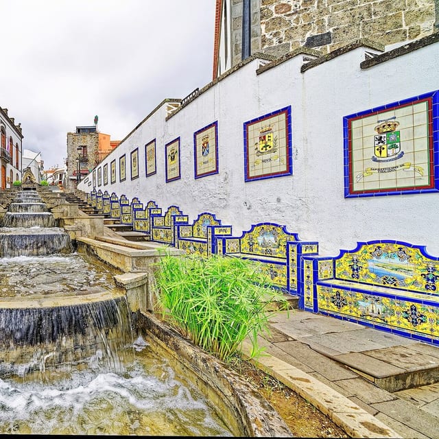
Firgas is a municipality of Gran Canaria, presented through settlement, landscape, local memory and its links with the rest of the island.
Population: Pending data · Area: Pending data
View municipality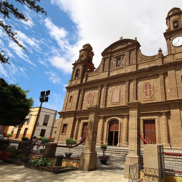
Gáldar is a municipality of Gran Canaria, presented through settlement, landscape, local memory and its links with the rest of the island.
Population: Pending data · Area: Pending data
View municipality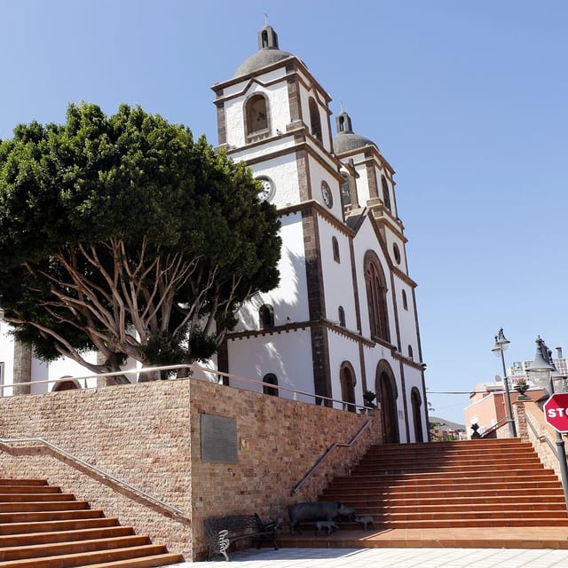
Ingenio is a municipality of Gran Canaria, presented through settlement, landscape, local memory and its links with the rest of the island.
Population: Pending data · Area: Pending data
View municipality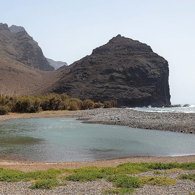
La Aldea de San Nicolás is a municipality of Gran Canaria, presented through settlement, landscape, local memory and its links with the rest of the island.
Population: Pending data · Area: Pending data
View municipality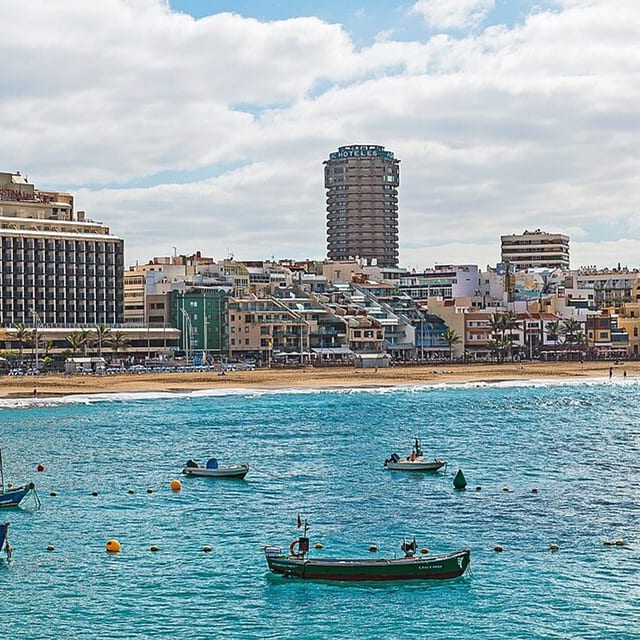
Las Palmas de Gran Canaria is a municipality of Gran Canaria, presented through settlement, landscape, local memory and its links with the rest of the island.
Population: Pending data · Area: Pending data
View municipality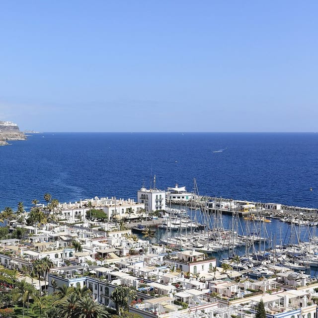
Mogán is a municipality of Gran Canaria, presented through settlement, landscape, local memory and its links with the rest of the island.
Population: Pending data · Area: Pending data
View municipality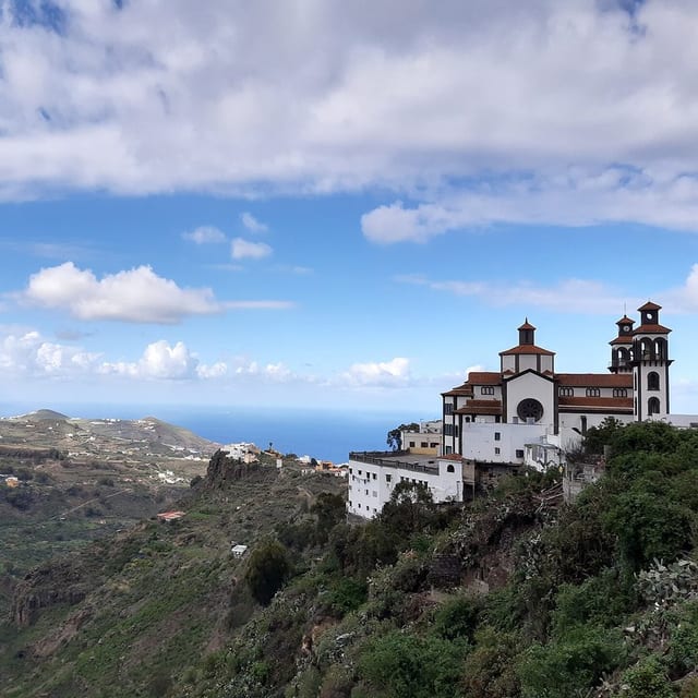
Moya is a municipality of Gran Canaria, presented through settlement, landscape, local memory and its links with the rest of the island.
Population: Pending data · Area: Pending data
View municipality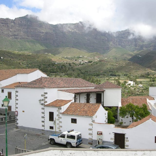
San Bartolomé de Tirajana is a municipality of Gran Canaria, presented through settlement, landscape, local memory and its links with the rest of the island.
Population: Pending data · Area: Pending data
View municipality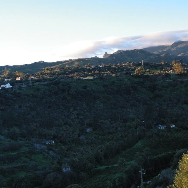
Santa Brígida is a municipality of Gran Canaria, presented through settlement, landscape, local memory and its links with the rest of the island.
Population: Pending data · Area: Pending data
View municipality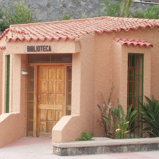
Santa Lucía de Tirajana is a municipality of Gran Canaria, presented through settlement, landscape, local memory and its links with the rest of the island.
Population: Pending data · Area: Pending data
View municipality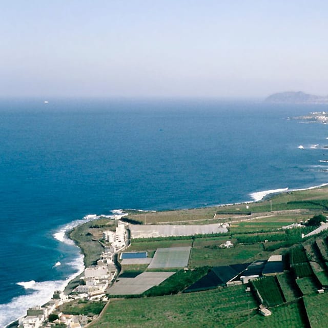
Santa María de Guía de Gran Canaria is a municipality of Gran Canaria, presented through settlement, landscape, local memory and its links with the rest of the island.
Population: Pending data · Area: Pending data
View municipality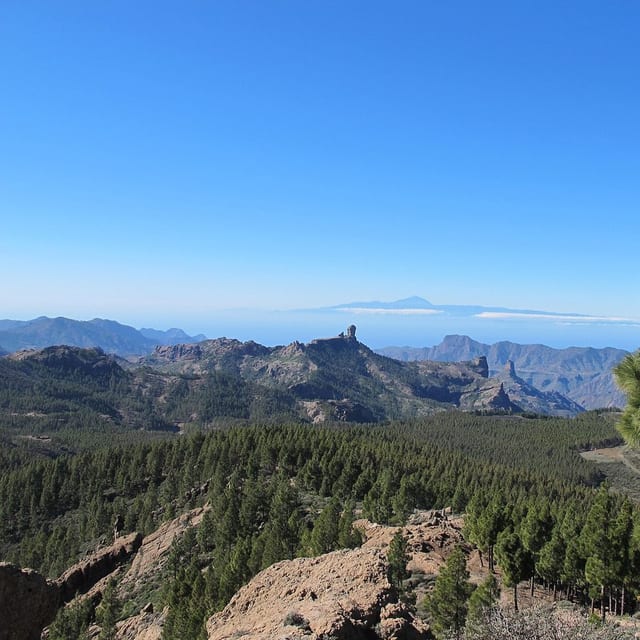
Tejeda is a municipality of Gran Canaria, presented through settlement, landscape, local memory and its links with the rest of the island.
Population: Pending data · Area: Pending data
View municipality
Telde is a municipality of Gran Canaria, presented through settlement, landscape, local memory and its links with the rest of the island.
Population: Pending data · Area: Pending data
View municipality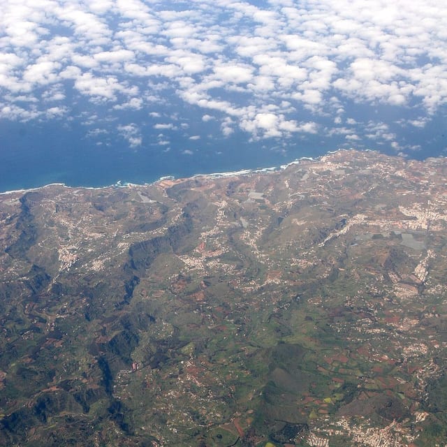
Teror is a municipality of Gran Canaria, presented through settlement, landscape, local memory and its links with the rest of the island.
Population: Pending data · Area: Pending data
View municipality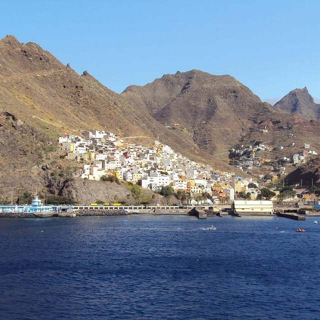
Valleseco is a municipality of Gran Canaria, presented through settlement, landscape, local memory and its links with the rest of the island.
Population: Pending data · Area: Pending data
View municipality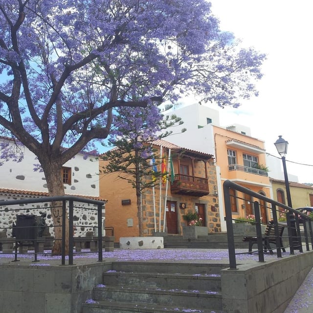
Valsequillo de Gran Canaria is a municipality of Gran Canaria, presented through settlement, landscape, local memory and its links with the rest of the island.
Population: Pending data · Area: Pending data
View municipality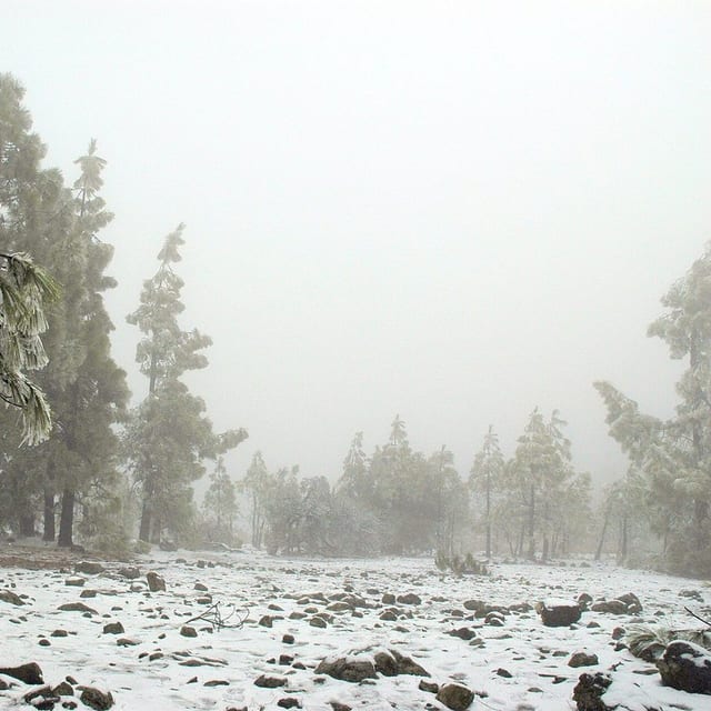
Vega de San Mateo is a municipality of Gran Canaria, presented through settlement, landscape, local memory and its links with the rest of the island.
Population: Pending data · Area: Pending data
View municipality