

Caldera de Taburiente
National park in the heart of La Palma, structured by ravines, pine forests, water and abrupt relief.
Municipal map, territorial organisation and key places of La Palma.
This page reads La Palma through its municipalities, main settlements, landscapes, heritage places and special territories.
Use the map and the place cards to connect municipal boundaries with concrete landmarks, coastal areas, uplands and local memory across La Palma.
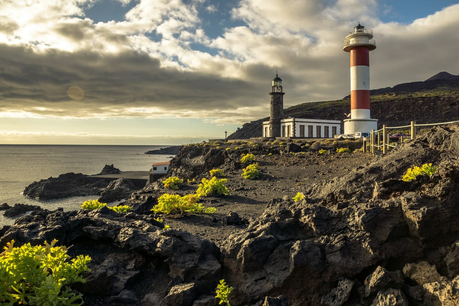
Municipal boundaries and main places of La Palma.
Concrete places for reading landscape, heritage, coast, uplands and local memory without repeating the municipal list.
National park in the heart of La Palma, structured by ravines, pine forests, water and abrupt relief.
Scientific and landscape summit of the island, home to astronomical observatories of international relevance.
Laurel forest in northeastern La Palma, a reference for understanding monteverde and water on the island.
Volcanic landscape of the southern end, with historic lavas, vineyards and saltworks beside the coast.
Port frontage and urban fabric with balcony architecture, churches and Atlantic commercial memory.
Fishing and port enclave in western La Palma, connected to the Aridane valley and to the coast transformed by recent volcanism.
Viewpoint and access point for reading the interior of Caldera de Taburiente from the central midlands.
Productive landscape of sea salt at the southern end, beside the lighthouse and recent volcanic terrain.
Viewpoint over the Aridane valley and the Barranco de las Angustias, with a broad reading of western La Palma.
Volcanic coastline of Fuencaliente with black sand, natural pools and recent lavas beside the sea.
Visitable volcanic tube around Las Manchas, useful for understanding the island's recent volcanism.
Hiking axis along the southern volcanic ridge, between craters, pine forests and historic lavas.
Urban centre of the Aridane valley, with traditional architecture, squares and a direct relationship with the western agricultural economy.
Historic church in northwestern La Palma, recognized for its altarpiece and for reading midlands settlement.
Archaeological ensemble in Villa de Mazo linked to Benahoarite memory and rock engravings.
Alphabetical order. Statistical data subject to ISTAC/INE validation.
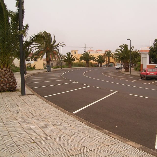
Barlovento is a municipality of La Palma, presented through settlement, landscape, local memory and its links with the rest of the island.
Population: Pending data · Area: Pending data
View municipality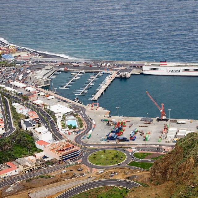
Breña Alta is a municipality of La Palma, presented through settlement, landscape, local memory and its links with the rest of the island.
Population: Pending data · Area: Pending data
View municipality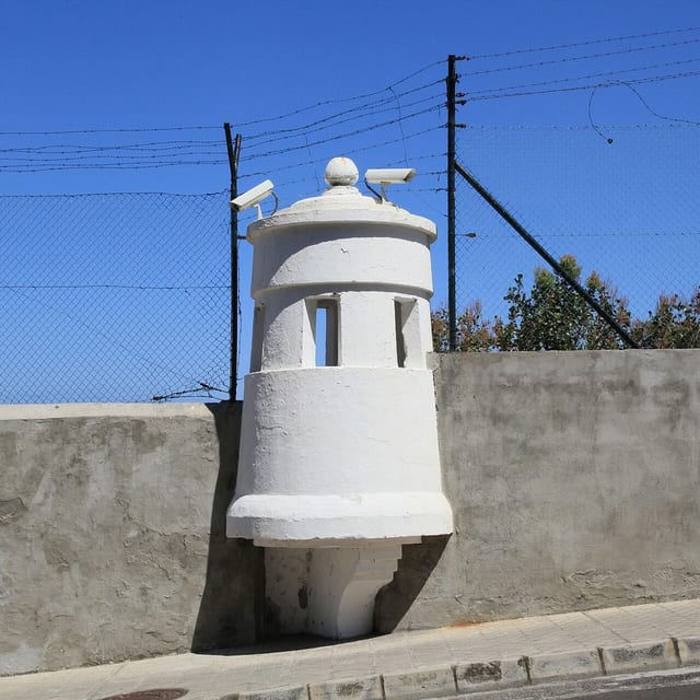
Breña Baja is a municipality of La Palma, presented through settlement, landscape, local memory and its links with the rest of the island.
Population: Pending data · Area: Pending data
View municipality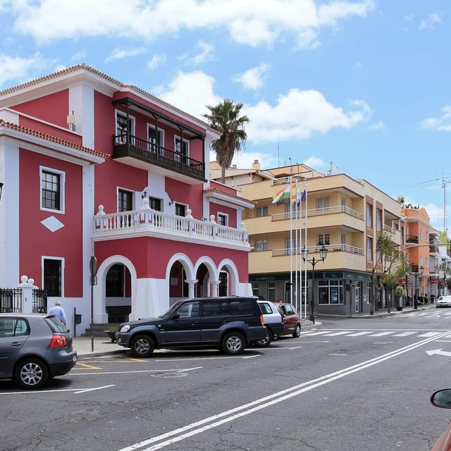
El Paso is a municipality of La Palma, presented through settlement, landscape, local memory and its links with the rest of the island.
Population: Pending data · Area: Pending data
View municipality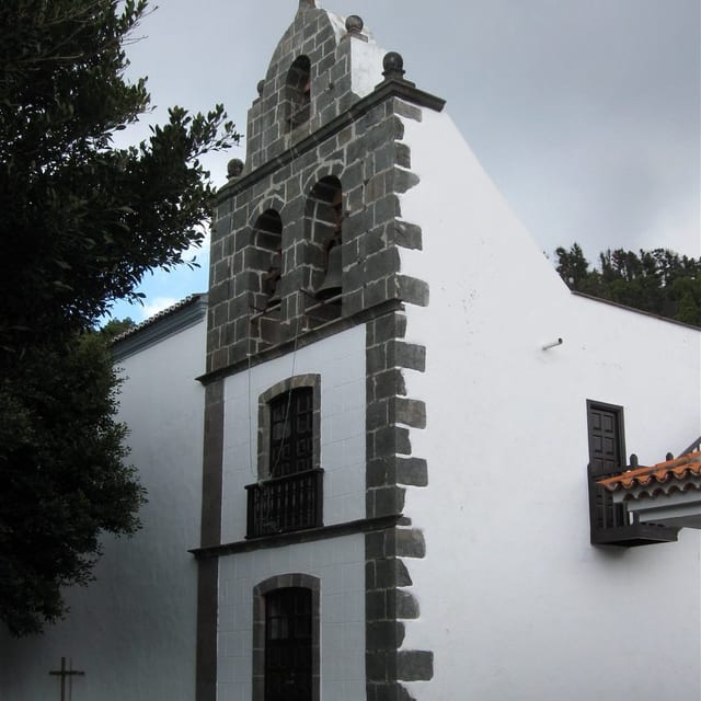
Fuencaliente de La Palma is a municipality of La Palma, presented through settlement, landscape, local memory and its links with the rest of the island.
Population: Pending data · Area: Pending data
View municipality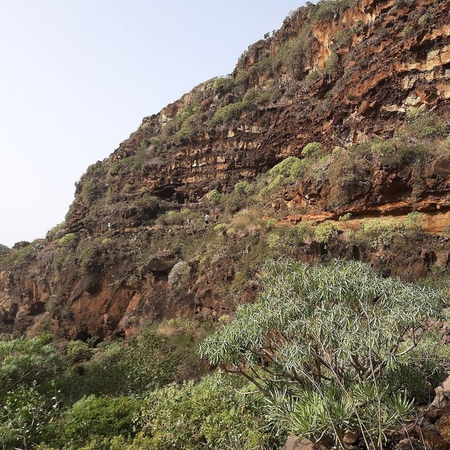
Garafía is a municipality of La Palma, presented through settlement, landscape, local memory and its links with the rest of the island.
Population: Pending data · Area: Pending data
View municipality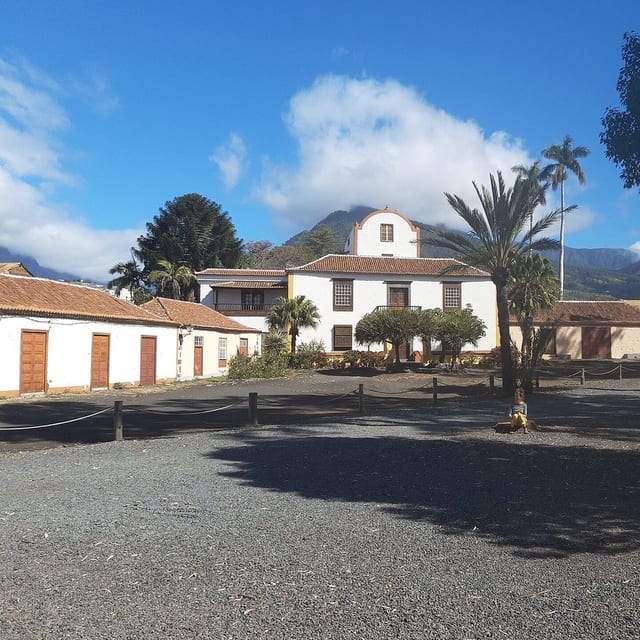
Los Llanos de Aridane is a municipality of La Palma, presented through settlement, landscape, local memory and its links with the rest of the island.
Population: Pending data · Area: Pending data
View municipality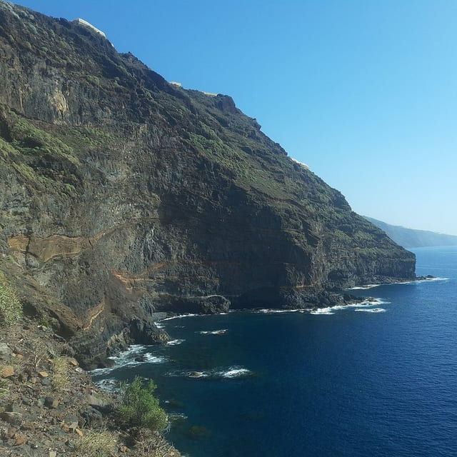
Puntagorda is a municipality of La Palma, presented through settlement, landscape, local memory and its links with the rest of the island.
Population: Pending data · Area: Pending data
View municipality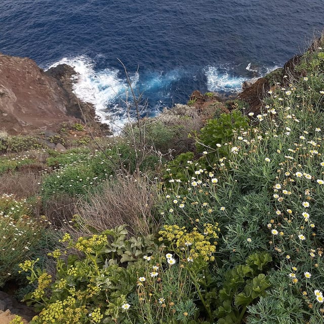
Puntallana is a municipality of La Palma, presented through settlement, landscape, local memory and its links with the rest of the island.
Population: Pending data · Area: Pending data
View municipality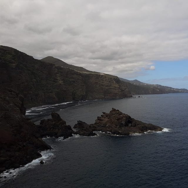
San Andrés y Sauces is a municipality of La Palma, presented through settlement, landscape, local memory and its links with the rest of the island.
Population: Pending data · Area: Pending data
View municipality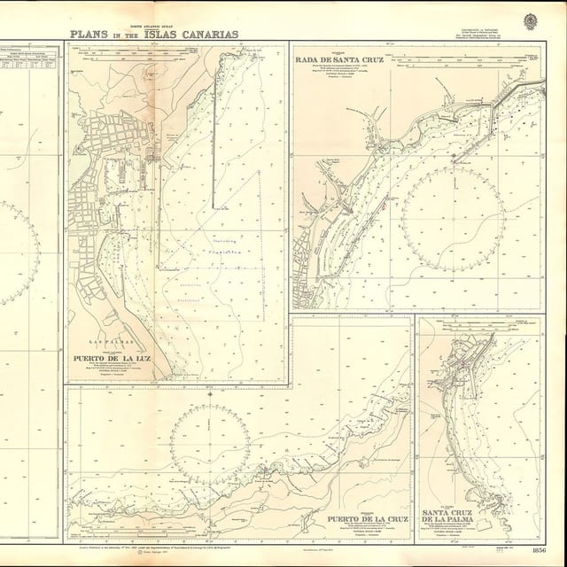
Santa Cruz de La Palma is a municipality of La Palma, presented through settlement, landscape, local memory and its links with the rest of the island.
Population: Pending data · Area: Pending data
View municipality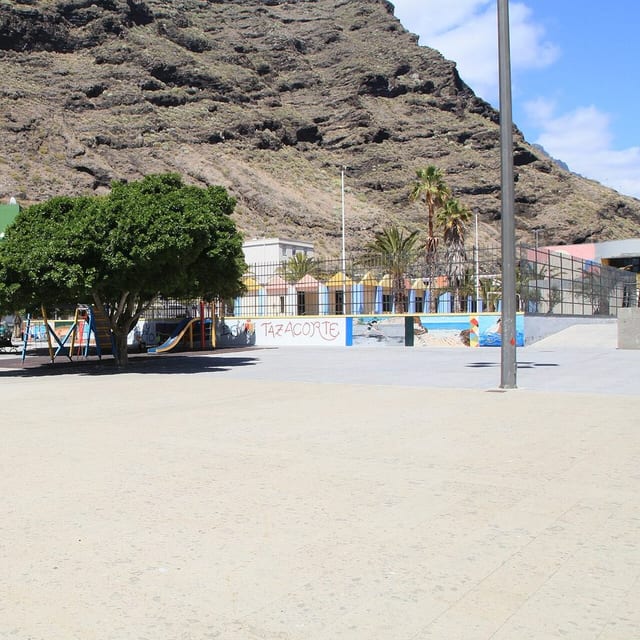
Tazacorte is a municipality of La Palma, presented through settlement, landscape, local memory and its links with the rest of the island.
Population: Pending data · Area: Pending data
View municipality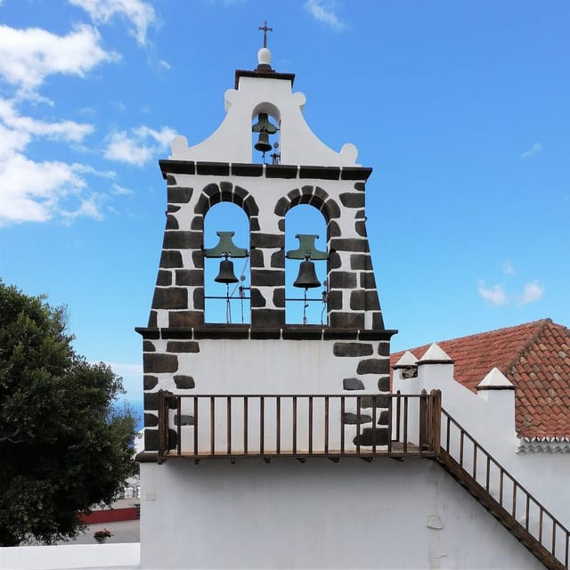
Tijarafe is a municipality of La Palma, presented through settlement, landscape, local memory and its links with the rest of the island.
Population: Pending data · Area: Pending data
View municipality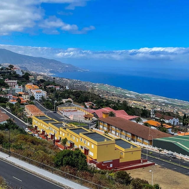
Villa de Mazo is a municipality of La Palma, presented through settlement, landscape, local memory and its links with the rest of the island.
Population: Pending data · Area: Pending data
View municipality