

Introduction
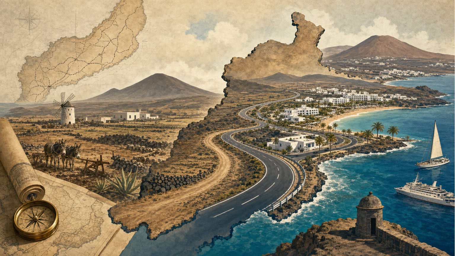
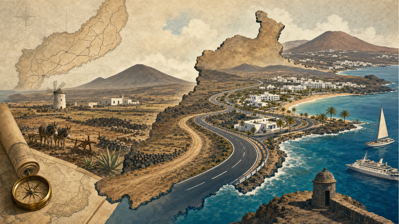
Lanzarote’s road network has undergone a significant transformation during the 20th century, evolving from a system designed for agricultural needs to one dominated by tourism. This shift has had a decisive impact on the island’s territorial organization and economy [1].
Natural Factors and Early Infrastructure
The island’s relatively flat terrain, with a maximum elevation of 670 meters at Peñas del Chache, presents few natural obstacles for road development, except for some volcanic areas and the Jable, whose mobility and low consistency complicate road construction and maintenance [1]. The climate, with low thermal variation and humidity, is not a significant impediment for road infrastructure [1].
From Agrarian to Tourism Economy
Until the 1970s, Lanzarote’s network of paths and roads primarily served to connect population centers and agricultural hubs with local docks and the port of Arrecife, facilitating the export of agricultural products [1]. The network had a spine-like morphology, with Teguise and Tías as main communication nodes, and traditional roads were short and costly for their time [1].
With the massive arrival of tourists from the 1970s onwards, the road network was reoriented almost exclusively to connect tourist centers with the airport and capital, prioritizing coastal over interior routes [1].
Characteristics of the Current Network
Today, the busiest roads are those linking the airport with major tourist destinations such as Puerto del Carmen and Playa Blanca, especially the GC-720 [1]. Roads managed by the Autonomous Community, though fewer in number, handle most of the traffic and are better maintained, while most local roads, managed by the Cabildo, are narrower and 20% are in poor condition [1].
The road system retains a radial structure with Arrecife as the main hub, but tourism pressure has led to hypertrophy in the southern infrastructure, polarizing economic activity and causing ecological strain in high-density areas [1].
Connectivity and Future Challenges
According to the Taaffe model, Lanzarote’s road network has evolved from a spine-like to an intermediate structure, but still exhibits low connectivity levels (0.48 in the recent stage), limiting territorial integration [1]. The rapid growth of the vehicle fleet has rendered parts of the network obsolete, highlighting the need for a comprehensive improvement and expansion program [1].