

Orchilla, Where the World Began – El Hierro
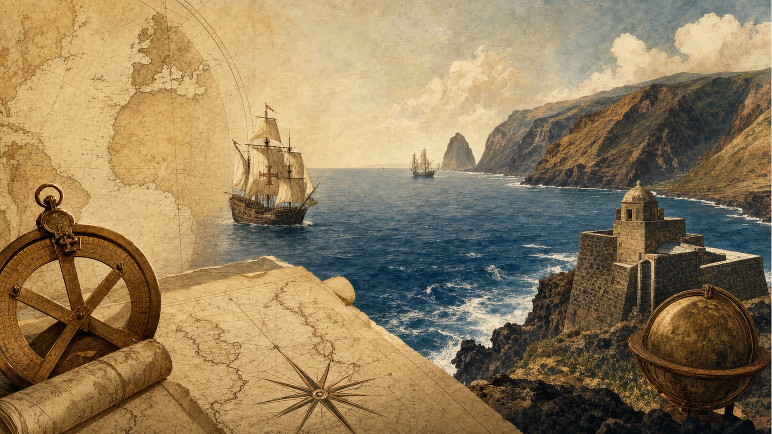
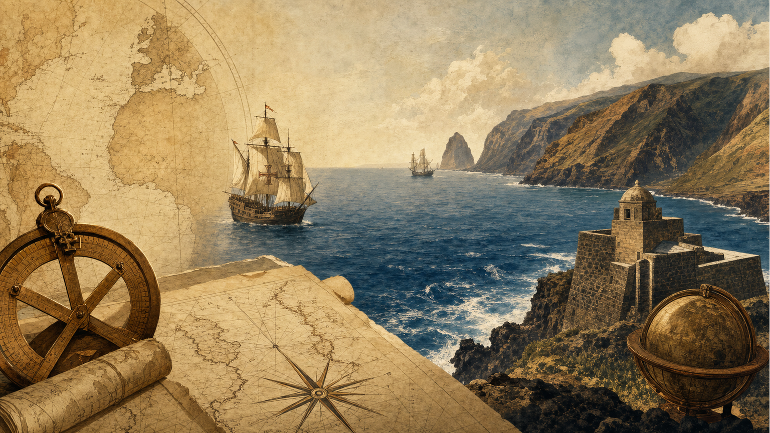
There is a place on El Hierro where the asphalt gives way and only lava remains. You reach it after crossing a black sea of volcanic flows, with hardly any vegetation, until a solitary lighthouse appears at the westernmost end of Spain: Punta Orchilla. For almost two centuries, any serious map of Europe marked longitude zero there. The world, literally, began on this cliff.[1][2]
A Limit Fixed by Ptolemy
The story begins with Ptolemy, who in the second century already placed the limit of the known world on El Hierro — beyond it there was nothing, or at least nothing really worth mapping. For the navigators of the time, that point literally marked the end of the world, the edge of the real before the void. The idea survived empires, wars and changes of dynasty without anyone questioning it too much, until in 1634 Cardinal Richelieu convened an assembly of mathematicians in Paris that decided to formalize what was already customary: to fix the first meridian in the westernmost part of the island. It was not only a scientific matter. Behind it there was also a political calculation, tied to navigation and trade north of the Tropic of Cancer.[2][3]
The Meridian That Crossed the Centuries
For the next two centuries, half the cartographic world — the French, the Spanish, much of central Europe — measured its maps from that invisible line crossing a volcanic islet lost in the Atlantic. Even when the International Meridian Conference adopted Greenwich as the universal standard in 1884, Germany and the Austro-Hungarian Empire continued using the meridian of El Hierro for some time longer, like someone slow to let go of a habit. The ancients called the ocean that began right there the Sea of Darkness: the name given to the water that led into the unknown, at a time when cartography knew only a minimal fraction of the planet.[2][4]
What Remains Today
What remains today is an almost deliberately discreet place. The current lighthouse, with an octagonal plan, was built in 1933 with black stone brought by sailing boat from Gran Canaria, and beside it, a stainless-steel sphere on a stone platform recalls that the line dividing the world in two passed there for two hundred years. There is no grandiloquence: only wind, black lava and the Atlantic opening as far as the eye can see. They say it was the last piece of land Columbus’s caravels saw before disappearing over the horizon, heading toward a continent that still had no name.[3][5]
There is something almost poetic in the fact that the center of the cartographic world was, for so long, one of its most remote and silent corners. Perhaps it is no coincidence: the places where the map ends are also, almost always, the places where something begins. And on El Hierro, between the lava and the mist rising from the sea, that invisible frontier can still be felt — as if the world, for an instant, held its breath before deciding where to begin existing. Perhaps that is why Orchilla clings to nothing: it simply breathes, dawns, and is reborn with every wave that breaks against the lava.
References
-
Wikipedia — Free encyclopedia: Meridian of El Hierro. Available at: es.wikipedia.org
-
Instituto El Hierro (ielhierro.net): Monumento al Meridiano Cero. Available at: ielhierro.net